geo.wikisort.org - River
The Menomonee River is one of three primary rivers in Milwaukee, Wisconsin, along with the Kinnickinnic River and Milwaukee River.[1]
| Menomonee River Menominee | |
|---|---|
| Physical characteristics | |
| Source | Milwaukee River |
| Length | 33 miles (53.1 km) |
| Discharge | |
| • location | Lake Michigan |
- See also Menominee River
Description
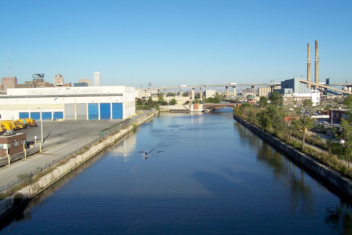
Named after the Menomonee (also spelled Menominee) Indians, the word was given to the Menomonee people by the Chippewa people, and in the Chippewa language literally means "rice eaters" referring to the abundant wild rice that once grew along its shores in the Menomonee Valley.[citation needed] A tributary of the Milwaukee River, it is the most industrialized within the Milwaukee River Basin.
Watershed
The Menomonee River is 33.0 miles (53.1 km) long,[2] and empties into Lake Michigan at Milwaukee. Not to be confused with longer rivers named after the same Indian tribe. With a watershed that covers approximately 140 square miles (360 km2) of urban landscape, it is home to a population of more than 336,670 people. This includes portions of Washington, Ozaukee, Waukesha, and Milwaukee counties. A large swath of the river has been heavily channelized and industrialized as it runs through the Menomonee Valley. This has become a primary source of pollution for the river.
Its estuary empties into Lake Michigan from the Milwaukee River near the Milwaukee harbor, along with the Kinnickinnic River to the south.
Parks
| Parks | Location |
|---|---|
| Three Bridges Park, Valley Park, Doyne Park, Granville Dog Park | Milwaukee |
| Charles C. Jacobus Park, Hart Park, Hoyt Park, Hansen Park, Hartung Park, Currie Park, Webster Park | Wauwatosa |
| Frontier Park | Butler |
| Rotary Park, Rivers Edge Park, Lime Kiln Park, Village Park | Menomonee Falls |
| Haupt Strasse Park, Shoen Laufren Park | Germantown |
References
- U.S. Geological Survey Geographic Names Information System: Menomonee River
- U.S. Geological Survey. National Hydrography Dataset high-resolution flowline data. The National Map Archived 2012-03-29 at the Wayback Machine, accessed May 19, 2011
External links
| Wikimedia Commons has media related to Menomonee River. |
- Menomonee River at Milwaukee Riverkeeper
- Menomonee River at Great Lakes Tributary Modeling Program
- Menomonee Valley Partners
| Authority control |
|---|
This article about a location in Milwaukee County, Wisconsin is a stub. You can help Wikipedia by expanding it. |
Другой контент может иметь иную лицензию. Перед использованием материалов сайта WikiSort.org внимательно изучите правила лицензирования конкретных элементов наполнения сайта.
WikiSort.org - проект по пересортировке и дополнению контента Википедии