geo.wikisort.org - River
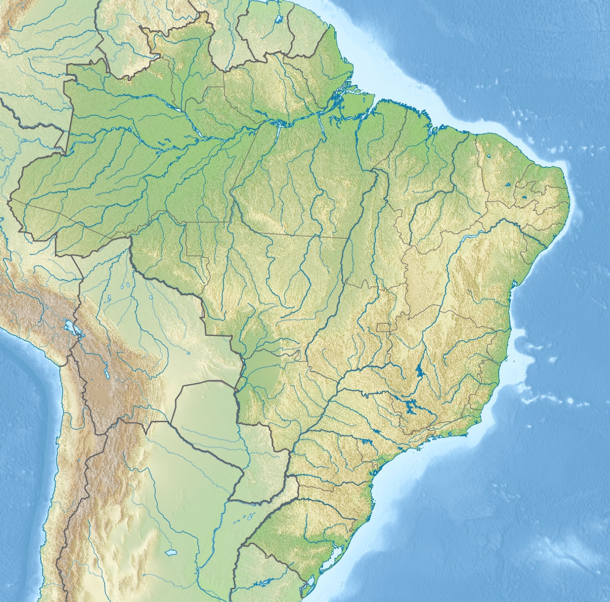
The Maicuru River is a river of Pará state in north-central Brazil, a tributary of the Amazon that discharges into that river via the Lago Grande de Monte Alegre.
| Maicuru River | |
|---|---|
  | |
| Native name | Rio Maicuru (Portuguese) |
| Location | |
| Country | Brazil |
| Physical characteristics | |
| Mouth | |
• location | Monte Alegre, Pará |
• coordinates | 2.113549°S 54.149457°W |
| Length | 610[1] |
| Basin features | |
| River system | Amazon River |
The river basin lies partly within the 4,245,819 hectares (10,491,650 acres) Grão-Pará Ecological Station, the largest fully protected tropical forest conservation unit on the planet.[2] Part of the river's basin is in the Maicuru Biological Reserve.[3] The river is also fed by streams in the 216,601 hectares (535,230 acres) Mulata National Forest, a sustainable use conservation unit created in 2001.[4]
See also
References
- Ziesler, R.; Ardizzone, G.D. (1979). "Amazon River System". The Inland waters of Latin America. Food and Agriculture Organization of the United Nations. ISBN 92-5-000780-9. Archived from the original on 8 November 2014.
- Estação Ecológica Grão-Pará (in Portuguese), Ideflor-bio (Government of Pará), retrieved 2016-05-12
- Plano de Manejo da Reserva Biológica Maicuru Resumo Executivo (PDF), Belém: SEMA: Secretaria de Estado de Meio Ambiente, May 2011, p. 8, retrieved 2016-05-14
- Unidade de Conservação: Floresta Nacional de Mulata (in Portuguese), MMA: Ministério do Meio Ambiente, retrieved 2016-06-01
Текст в блоке "Читать" взят с сайта "Википедия" и доступен по лицензии Creative Commons Attribution-ShareAlike; в отдельных случаях могут действовать дополнительные условия.
Другой контент может иметь иную лицензию. Перед использованием материалов сайта WikiSort.org внимательно изучите правила лицензирования конкретных элементов наполнения сайта.
Другой контент может иметь иную лицензию. Перед использованием материалов сайта WikiSort.org внимательно изучите правила лицензирования конкретных элементов наполнения сайта.
2019-2026
WikiSort.org - проект по пересортировке и дополнению контента Википедии
WikiSort.org - проект по пересортировке и дополнению контента Википедии