geo.wikisort.org - River
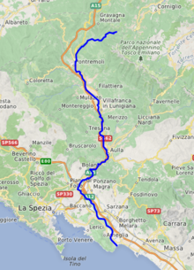
The Magra is a 62-kilometre (39 mi) long river of Northern Italy, which runs through Pontremoli, Filattiera, Villafranca in Lunigiana and Aulla in the province of Massa-Carrara (Tuscany); Santo Stefano di Magra, Vezzano Ligure, Arcola, Sarzana and Ameglia in the province of La Spezia (Liguria).
| Magra | |
|---|---|
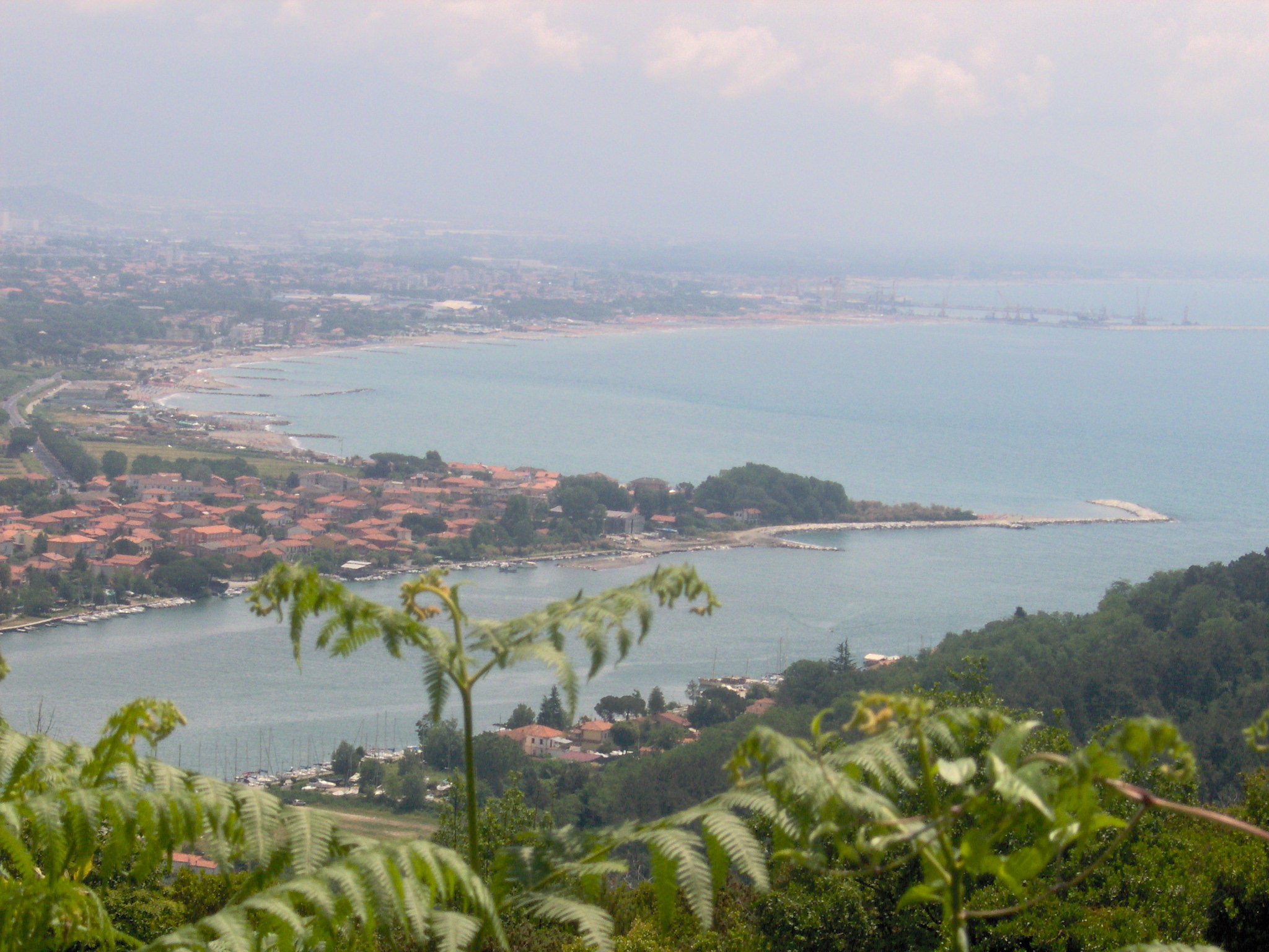 The mouth of the Magra | |
 | |
| Location | |
| Country | Italy |
| Physical characteristics | |
| Source | |
| • location | Between Monte Borgognone and Monte Tavola |
| • elevation | 1,200 m (3,900 ft) |
| Mouth | Tyrrhenian Sea |
• coordinates | 44.0481°N 9.9876°E |
• elevation | 0 m (0 ft) |
| Length | 62 km (39 mi) |
| Basin size | 1,686 km2 (651 sq mi) |
| Discharge | |
| • average | 40 m3/s (1,400 cu ft/s) |
In Roman times, it was known as the Macra and marked the eastern boundary of the territory of Liguria.
The river's drainage basin occupies around 1,700 km2 (660 sq mi).[citation needed] Its most important tributary is the Vara which joins the Magra from the right within the commune of Santo Stefano di Magra.
Caprigliola bridge collapse
On 8 April 2020 around 10:20 local time, a 260 metre long road bridge across the Magra at Albiano Magra near Aulla collapsed. Very few vehicles were using the bridge at the time due to the coronavirus lockdown then in force, and only two people were injured.[1][2][3]
Regional Natural Park of Montemarcello-Magra-Vara
Since 1995 an area of 4,320.8 hectares (10,677 acres) surrounding the Magra and Vara rivers is protected by a natural park of the regione Liguria, placed near the border with the Tuscany region. Due its biodiversity, the Regional Natural Park of Montemarcello-Magra-Vara is part of the Natura 2000 European network.[4][5][6]
See also
References
- "Italy bridge collapse: Two drivers survive". BBC News. 8 April 2020. Retrieved 8 April 2020.
- "Lockdown keeps casualty figure low as Italian bridge collapses". The Guardian. London. 8 April 2020. Retrieved 9 April 2020.
- "Bridge Collapses in Italy, Newest Crumbling Infrastructure". The New York Times. 8 April 2020. Retrieved 9 April 2020.
- "Rete Natura 2000" (in Italian and English).
- "SIC e ZPS in Liguria » La Spezia » Parco della Magra - Vara" (in Italian and English).
- "La Biblioteca dell'Ente Parco di Montemarcello-Magra" (in Italian). Archived from the original on July 30, 2021.
External links
![]() Media related to Magra River at Wikimedia Commons
Media related to Magra River at Wikimedia Commons
Authority control | |
|---|---|
| General |
|
| National libraries | |
This Liguria location article is a stub. You can help Wikipedia by expanding it. |
На других языках
[de] Magra
Die Magra (zu Deutsch: Die Dünne oder das Niedrigwasser) ist ein Fluss, der durch die italienischen Regionen Toskana und Ligurien verläuft.- [en] Magra
[es] Río Magra
El Magra es un río italiano que corre entre Toscana y Liguria bañando las provincias de Massa-Carrara y La Spezia desembocando en un amplio estuario en el Mar de Liguria llamado la "Bocca di Magra" a poca distancia del Golfo de La Spezia (también llamado Golfo de los poetas),en el corazón de la región Lunigiana.[it] Magra
Il Magra[1] (declinato anche nel genere femminile, la Magra (così anche in ligure[2])) è un fiume che scorre in Toscana e in Liguria bagnando le province della Spezia e di Massa-Carrara, il principale fiume della Liguria per portata media alla foce (40 m³/s) anche se ad essa appartiene solo la parte terminale del suo corso; lungo il suo percorso si crea la maggiore piana della Liguria (seconda è quella di Albenga).[ru] Магра
Магра (итал. Magra) — главная река итальянской области Луниджана.Другой контент может иметь иную лицензию. Перед использованием материалов сайта WikiSort.org внимательно изучите правила лицензирования конкретных элементов наполнения сайта.
WikiSort.org - проект по пересортировке и дополнению контента Википедии