geo.wikisort.org - River
Luxapalila Creek (also spelled Luxapallila Creek) is a 73.6-mile-long (118.4 km)[1] stream in Mississippi and Alabama in the United States. Luxapalila means "flying turtle" in the Choctaw language.[2]
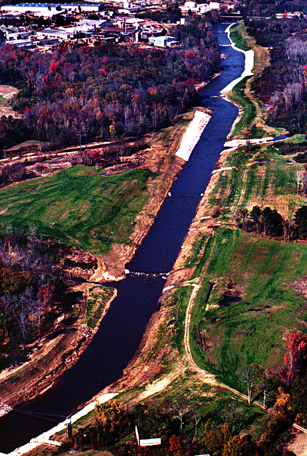
The creek drains a watershed of 803 square miles (2,080 km2) and flows through Lamar County, Marion County, Fayette County and Pickens County in Alabama and Monroe County and Lowndes County in Mississippi.[3][4] It runs through the Alabama cities of Winfield, Millport, Kennedy, Fayette,[4] and Columbus, Mississippi.
Its tributaries are Cut Bank Creek, Hell's Creek, Magby Creek, Mud Creek, Wilson Creek, and Yellow Creek.[4]
See also
References
- "The National Map". U.S. Geological Survey. Archived from the original on 2012-03-29. Retrieved Feb 25, 2011.
- William Bright, Native American Placenames of the United States, University of Oklahoma Press, 2007, p. 256
- Mississippi State University Archived 2011-07-20 at the Wayback Machine
- Rivers of Alabama Archived 2012-07-12 at the Wayback Machine
Текст в блоке "Читать" взят с сайта "Википедия" и доступен по лицензии Creative Commons Attribution-ShareAlike; в отдельных случаях могут действовать дополнительные условия.
Другой контент может иметь иную лицензию. Перед использованием материалов сайта WikiSort.org внимательно изучите правила лицензирования конкретных элементов наполнения сайта.
Другой контент может иметь иную лицензию. Перед использованием материалов сайта WikiSort.org внимательно изучите правила лицензирования конкретных элементов наполнения сайта.
2019-2026
WikiSort.org - проект по пересортировке и дополнению контента Википедии
WikiSort.org - проект по пересортировке и дополнению контента Википедии