geo.wikisort.org - River
![]() Lomná (help·info) (Polish:
Lomná (help·info) (Polish: ![]() Łomna, Cieszyn Silesian:
Łomna, Cieszyn Silesian: ![]() Łómno) also known as
Łómno) also known as ![]() Lomňanka (Polish:
Lomňanka (Polish: ![]() Łomnianka, Cieszyn Silesian:
Łomnianka, Cieszyn Silesian: ![]() Łómnianka) is a 17 kilometres (11 mi)-long river in Frýdek-Místek District, Moravian-Silesian Region, Czech Republic, in the historical region of Cieszyn Silesia.
Łómnianka) is a 17 kilometres (11 mi)-long river in Frýdek-Místek District, Moravian-Silesian Region, Czech Republic, in the historical region of Cieszyn Silesia.
| Lomná Łomna | |
|---|---|
 Lomná in Dolní Lomná | |
| Location | |
| Country | Czech Republic |
| Physical characteristics | |
| Source | |
| • location | Moravian-Silesian Beskids |
| • elevation | 870 m (2,850 ft) |
| Mouth | |
• location | Olza River |
• coordinates | 49°34′43″N 18°45′51″E |
| Length | 17.5 km (10.9 mi) |
| Basin size | 70.6 km2 (27.3 sq mi) |
| Discharge | |
| • average | 1.49 m3/s (53 cu ft/s) near estuary |
| Basin features | |
| Progression | Olza→ Oder→ Baltic Sea |
It is the left tributary of the Olza River, to which it enters in Jablunkov (Jabłonków). It originates near the border with Slovakia and flows through the villages of Horní Lomná (Łomna Górna), Dolní Lomná (Łomna Dolna) and Bocanovice (Boconowice).
It was mentioned in 1592 as przi rzece Lomny. The name is derived from the words łom (clatter, rumble, susurrus) or załom (turn, bend).[1]
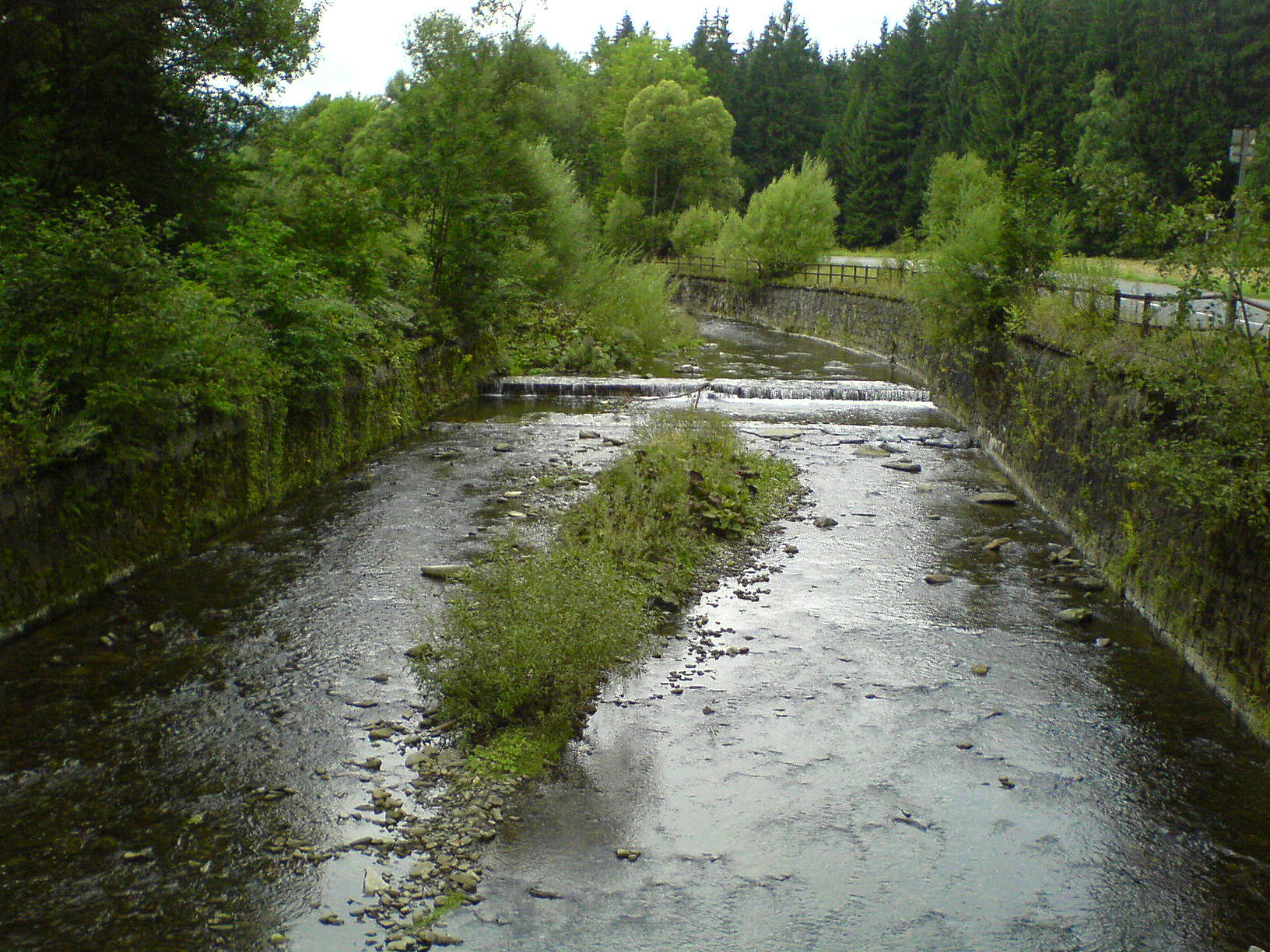
 Lomná in Dolní Lomná
 Lomná in Dolní Lomná

Footnotes
- Mrózek, Robert (1984). Nazwy miejscowe dawnego Śląska Cieszyńskiego [Local names of former Cieszyn Silesia] (in Polish). Katowice: Uniwersytet Śląski w Katowicach. p. 97. ISSN 0208-6336.
References
- Cicha, Irena; Jaworski, Kazimierz; Ondraszek, Bronisław; Stalmach, Barbara; Stalmach, Jan (2000). Olza od pramene po ujście. Český Těšín: Region Silesia. pp. 16, 18. ISBN 80-238-6081-X.
| Wikimedia Commons has media related to Lomná (Olza tributary). |
This Moravian-Silesian Region location article is a stub. You can help Wikipedia by expanding it. |
На других языках
[de] Lomná (Olsa)
Die Lomná (deutsch Lomna) ist ein linker Nebenfluss der Olsa in Tschechien.- [en] Lomná (river)
[ru] Ломна (приток Ольше)
Ло́мна[1][2] (чеш. Lomná) — река в Западных Карпатах на востоке Чехии. Течёт по территории района Фридек-Мистек в Моравско-Силезском крае. Левый приток верхнего течения Ольше[3][4][5].Другой контент может иметь иную лицензию. Перед использованием материалов сайта WikiSort.org внимательно изучите правила лицензирования конкретных элементов наполнения сайта.
WikiSort.org - проект по пересортировке и дополнению контента Википедии