geo.wikisort.org - River
The Lesse is a river in the Ardennes, in the Walloon region of Belgium. It is a right tributary to the river Meuse.
| Lesse | |
|---|---|
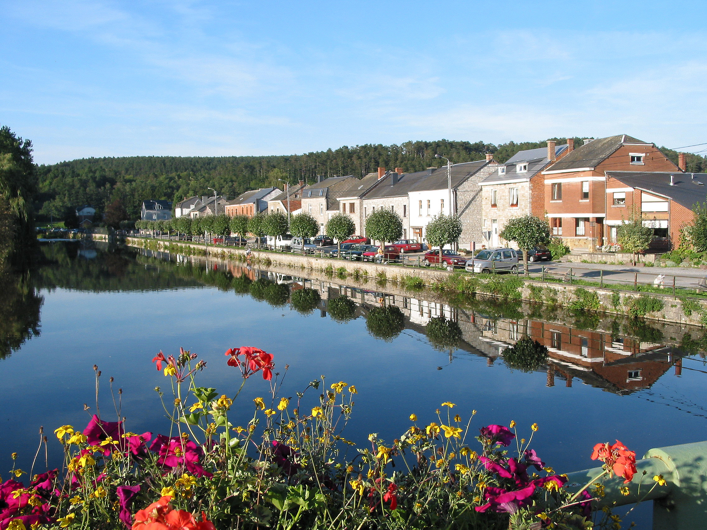 The Lesse in Han-sur-Lesse. | |
| Location | |
| Country | Belgium |
| Physical characteristics | |
| Source | |
| • location | Ardennes |
| • elevation | 480 m (1,570 ft) |
| Mouth | |
• location | Meuse |
| Length | 89 km (55 mi) |
| Basin features | |
| Progression | Meuse→ North Sea |

The source of the Lesse is near Libramont-Chevigny, in the Belgian province of Luxembourg. The Lesse flows roughly in north-western direction. Near Han-sur-Lesse (municipality of Rochefort) the entire river goes underground, flowing through limestone caves. Many of the caves along the banks of the Lesse are important archaeological sites; these include the Trou de Chaleux (by the Cirque de Chaleux), and the Trou des Nutons and Trou du Frontal at Furfooz. The Lesse flows into the river Meuse in the village of Anseremme, municipality of Dinant. Towns along the Lesse are Daverdisse, Han-sur-Lesse, Houyet and Anseremme.
Wikimedia Commons has media related to Lesse (river).
| Authority control |
|
|---|
На других языках
[de] Lesse (Fluss)
Die Lesse ist ein etwa 94 Kilometer langer, rechter Nebenfluss der Maas im wallonischen Teil Belgiens.- [en] Lesse
[ru] Лес (приток Мааса)
Лес (фр. Lesse) — река в Бельгии, на Арденнской возвышенности. Протекает по территории провинций Люксембург и Намюр. Общая длина — 89 километров. Впадает в Маас в трёх километрах от города Динан.Текст в блоке "Читать" взят с сайта "Википедия" и доступен по лицензии Creative Commons Attribution-ShareAlike; в отдельных случаях могут действовать дополнительные условия.
Другой контент может иметь иную лицензию. Перед использованием материалов сайта WikiSort.org внимательно изучите правила лицензирования конкретных элементов наполнения сайта.
Другой контент может иметь иную лицензию. Перед использованием материалов сайта WikiSort.org внимательно изучите правила лицензирования конкретных элементов наполнения сайта.
2019-2026
WikiSort.org - проект по пересортировке и дополнению контента Википедии
WikiSort.org - проект по пересортировке и дополнению контента Википедии