geo.wikisort.org - River
Kershope Burn is a burn running in its entirety along the border between England and Scotland.
This article needs additional citations for verification. (September 2014) |
| Kershope Burn | |
|---|---|
 The burn near Scotch Kershope | |
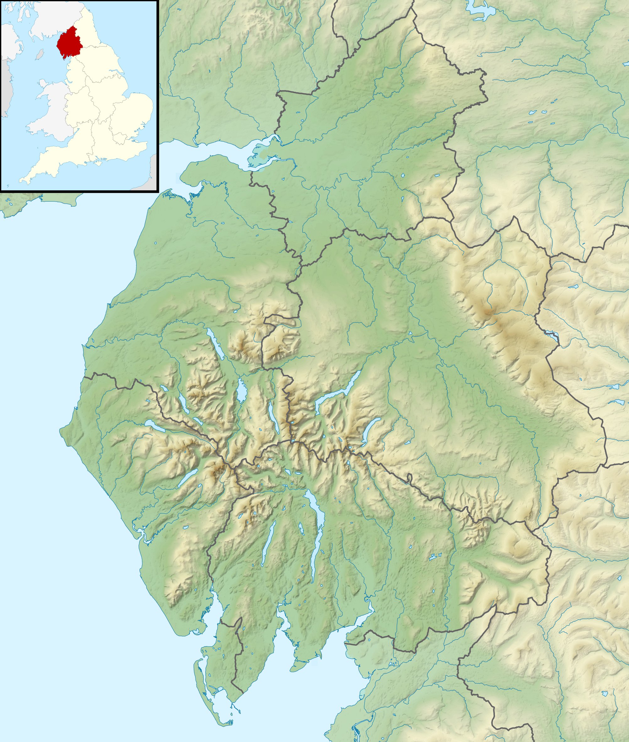 Location within Cumbria | |
| Location | |
| Country | United Kingdom |
| Part | England, Scotland |
| Physical characteristics | |
| Mouth | |
• location | Liddel Water |
• coordinates | 55.138069°N 2.823846°W |
The river rises, as Clark's Sike, in a marshy area in Kielder Forest Northumberland known as Hobb's Flow, before becoming Kershope Burn after running by Kershopehead, a farmstead in Cumbria.
The river runs into Liddel Water at Kershopefoot, after which Liddel Water marks the boundary between England and Scotland. The final few metres (yards) of the river flow past the hamlet at Kershopefoot and underneath the railway bridge of the former Waverley Line. Between 1862 and 1969 a passenger station variously known as Kershope or Kershope Foot was located here.[1]
References
- Disused Stations website entry retrieved 31 August 2014 http://www.disused-stations.org.uk/k/kershope_foot/ .
This Dumfries and Galloway location article is a stub. You can help Wikipedia by expanding it. |
This Cumbria location article is a stub. You can help Wikipedia by expanding it. |
This Northumberland location article is a stub. You can help Wikipedia by expanding it. |
This Scottish Borders location article is a stub. You can help Wikipedia by expanding it. |
На других языках
[de] Kershope Burn
Der Kershope Burn ist ein Wasserlauf im Vereinigten Königreich. Er entsteht aus dem Zusammenfluss von Clark’s Sike, Queen’s Sike und einem unbenannten Zufluss auf der Grenze zwischen Scottish Borders, Schottland und Cumbria, England. Er fließt in südwestlicher Richtung, wobei er im gesamten Verlauf bis zu seiner Mündung in das Liddel Water bei Kershopefoot die Grenze bildet.- [en] Kershope Burn
Другой контент может иметь иную лицензию. Перед использованием материалов сайта WikiSort.org внимательно изучите правила лицензирования конкретных элементов наполнения сайта.
WikiSort.org - проект по пересортировке и дополнению контента Википедии