geo.wikisort.org - River
The Hurricane River is a 6.4-mile-long (10.3 km)[2] river in Alger County in the Upper Peninsula of Michigan in the United States. It empties into Lake Superior in the Pictured Rocks National Lakeshore. There is a campground at the mouth of the river which is also the beginning of a trail that leads past various old shipwrecks to the historic Au Sable Lighthouse.[3] The mouth of the river is also very near the eastern end of a stretch of relatively straight shoreline known as Twelvemile Beach.
 |
 |
| Hurricane River | |
|---|---|
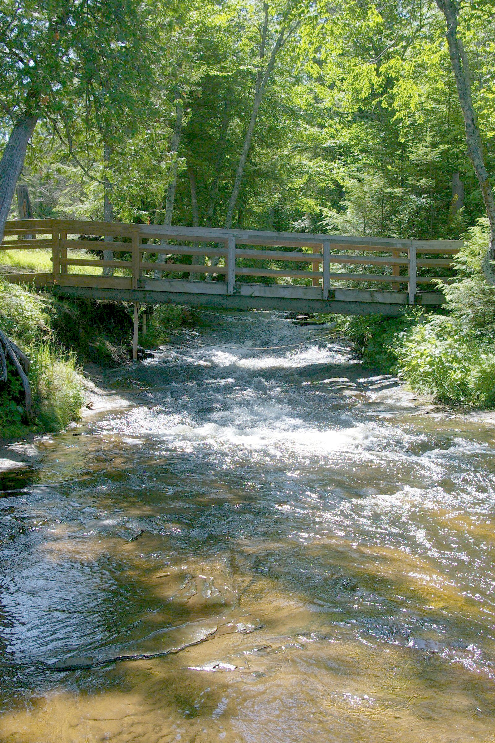
 Mouth of the Hurricane River at Lake Superior | |
| Location | |
| Country | United States |
| Physical characteristics | |
| Source | |
| • location | Burt Township, Alger County, Michigan |
| • coordinates | 46.60525°N 86.096°W[1] |
| Mouth | |
• location | Lake Superior, Michigan |
• coordinates | 46.66607°N 86.16794°W |
| Length | 6.4 mi (10.3 km) |
See also
References
- "Hurricane River". Geographic Names Information System. United States Geological Survey, United States Department of the Interior.
- U.S. Geological Survey. National Hydrography Dataset high-resolution flowline data. The National Map Archived 2012-03-29 at the Wayback Machine, accessed January 3, 2012
- Pure Michigan accessed March 25, 2011
External links
Wikimedia Commons has media related to Hurricane River.
- Michigan Streamflow Data from the USGS
- Information on campgrounds in the Pictured Rocks National Lakeshore
This Alger County, Michigan location article is a stub. You can help Wikipedia by expanding it. |
Текст в блоке "Читать" взят с сайта "Википедия" и доступен по лицензии Creative Commons Attribution-ShareAlike; в отдельных случаях могут действовать дополнительные условия.
Другой контент может иметь иную лицензию. Перед использованием материалов сайта WikiSort.org внимательно изучите правила лицензирования конкретных элементов наполнения сайта.
Другой контент может иметь иную лицензию. Перед использованием материалов сайта WikiSort.org внимательно изучите правила лицензирования конкретных элементов наполнения сайта.
2019-2026
WikiSort.org - проект по пересортировке и дополнению контента Википедии
WikiSort.org - проект по пересортировке и дополнению контента Википедии