geo.wikisort.org - River
Hockley Brook is a brook, or stream, in north Birmingham, England. It rises just outside the city, in Smethwick, and runs through Black Patch Park and then through the city's Soho, Hockley and Aston districts, to its confluence with the River Tame, beneath Gravelly Hill Interchange. From there, its waters flow, via the Trent, to the Humber Estuary and the North Sea. At the eastern end, it is known as Aston Brook, giving its name to Aston Brook Street.
| Hockley Brook | |
|---|---|
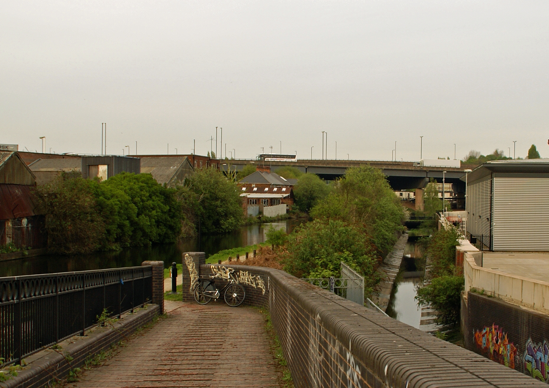 The brook (right) near its end, with the Birmingham & Fazeley canal alongside. | |
| Etymology | Hockley/ Aston |
| Location | |
| Country | England |
| Region | Birmingham |
| Physical characteristics | |
| Mouth | |
• location | River Tame |
| Basin features | |
| Progression | Trent - Humber - North Sea |
| Tributaries | |
| • right | Boundary Brook (at Black Patch Park) |
It previously marked the boundary between Birmingham (then Warwickshire) and Smethwick (then Staffordshire); between the then Staffordshire country villages of Handsworth and Smethwick;[1] and between Birmingham and Aston, before the city absorbed the latter district.
The brook once fed several mills[2] and provided water for Matthew Boulton's Soho Manufactory.[3]
In post-World War II years, it was culverted (buried in pipes) for much of its length.
Local historian and artist Ron "Smudge" Smith titled his 1998 autobiography A Paddle in Hockley Brook.[4]
Features
| Point | Coordinates (links to map & photo sources) |
Notes |
|---|---|---|
| Source | 52.496614°N 1.944522°W | |
| Start of main underground section | 52.496046°N 1.919417°W | |
| End of main underground section | 52.499775°N 1.872478°W | |
| Confluence with River Tame | 52.508184°N 1.860258°W |
References
- Ted Rudge Brumroamin: Birmingham and Midland Romany Gypsy and Traveller Culture. Birmingham City Council Department of Leisure & Community Services (2003)
- "All Saints - WAR ENG". University of Essex. Retrieved 25 October 2011.
- "Pubs of Winson Green in Birmingham". Midlands Pubs. Archived from the original on 15 November 2011. Retrieved 25 October 2011.
- Smith, Ron (1998). A Paddle in Hockley Brook (4th ed.). Waveney Publ. ISBN 0-9523849-0-6.
External links
This West Midlands location article is a stub. You can help Wikipedia by expanding it. |
На других языках
[de] Hockley Brook
Der Hockley Brook ist ein kleiner Fluss in Birmingham, England. Der Fluss entspringt in Smethwick am Rande von Birmingham und bildete früher die Grenze zwischen Warwickshire (mit Birmingham) und Staffordshire (mit Smethwick). Der Fluss fließt über weite Strecken unterirdisch, bevor er am Gravelly Hill Interchange der Autobahn M6 in den River Tame mündet.- [en] Hockley Brook
Другой контент может иметь иную лицензию. Перед использованием материалов сайта WikiSort.org внимательно изучите правила лицензирования конкретных элементов наполнения сайта.
WikiSort.org - проект по пересортировке и дополнению контента Википедии