geo.wikisort.org - River
The Hanford Reach is a free-flowing section of the Columbia River, around 51 miles (82 km) long, in eastern Washington state. It is named after a large northward bend in the river's otherwise southbound course.
| Hanford Reach | |
|---|---|
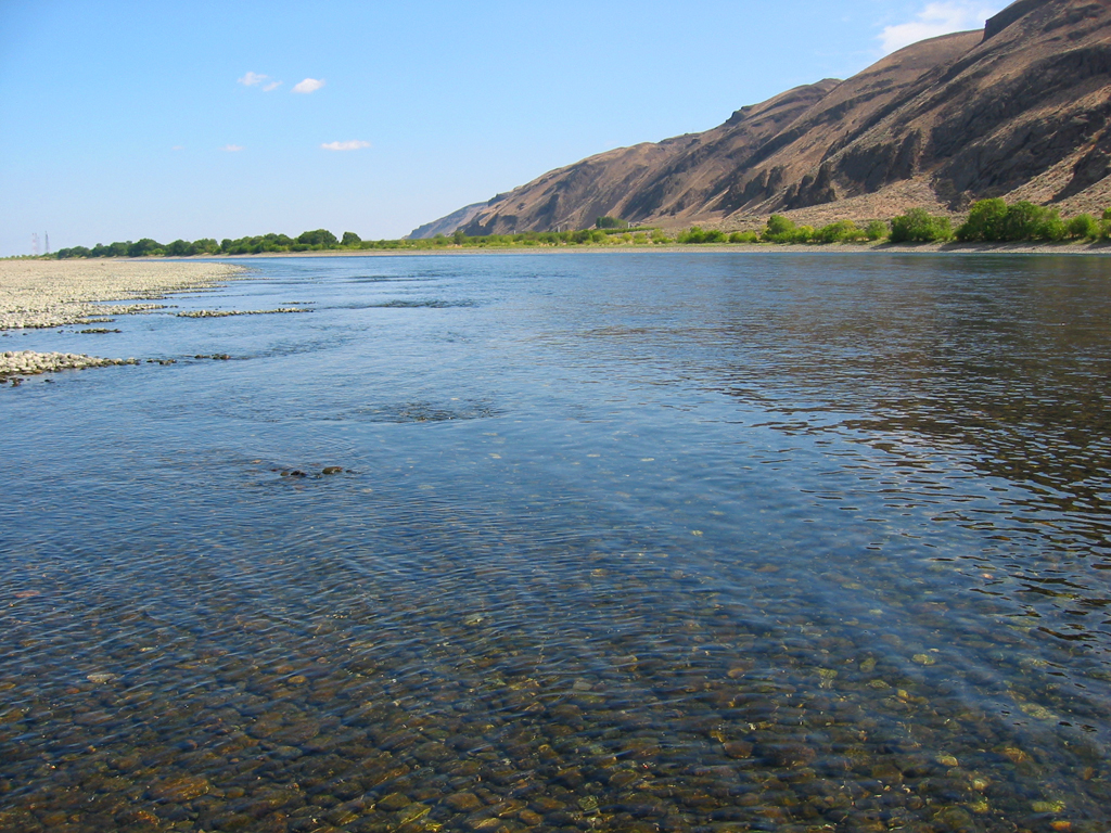 A section of the Hanford Reach | |
| Location | |
| Country | United States |
| State | Washington |
| Physical characteristics | |
| Source | Base of Priest Rapids Dam |
| • location | Near Desert Aire |
| • coordinates | 46°38′35″N 119°54′39″W |
| • elevation | 443 ft (135 m) |
| Mouth | Lake Wallula |
• location | Richland |
• coordinates | 46°16′46″N 119°16′03″W |
• elevation | 340 ft (100 m) |
| Length | 45 mi (72 km) |
| Basin size | 96,000 sq mi (250,000 km2) |
| Discharge | |
| • location | below Priest Rapids Dam |
| • average | 118,400 cu ft/s (3,350 m3/s) |
| • minimum | 20,000 cu ft/s (570 m3/s) |
| • maximum | 547,400 cu ft/s (15,500 m3/s) |
| Basin features | |
| River system | the Columbia River |
Hanford Reach is the only section of the Columbia in the United States that is not tidal nor part of a reservoir, excluding a short reach between the Canada–United States border and the upper end of Franklin D. Roosevelt Lake, the reservoir of Grand Coulee Dam. Much of the Hanford Reach flows through the Hanford Site, a nuclear production facility established during World War II. It is also the site of the Hanford Reach National Monument, created from the original protection area around the Hanford Site. Upstream of the Hanford Reach is Priest Rapids Dam and downstream is the McNary Dam, which also impounds the last stretch of the Snake River, the largest tributary of the Columbia.
The Hanford Reach includes the still extant Coyote Rapids[1][2] and supports over forty species of fish including significant numbers of spawning fall chinook salmon[3][4]
See also
- Locke Island
- Ringold Formation
- Savage Island
References
- "Earth-3D.com: Coyote Rapids - Washington, United States". earth-3d.com. Earth-3D.com. Retrieved 2016-07-23.[permanent dead link]
- "Hanford Reach National Monument, Upper Columbia, 2008" (PDF). columbiakayakadventures.com. Archived from the original (PDF) on 2016-07-11. Retrieved 2016-07-23.
- "U.S. Fish & Wildlife Service: Hanford Reach Wildlife & Habitat". fws.gov. U.S. Fish and Wildlife Service. Retrieved 2016-07-23.
- Geranios, Nicholas K. (November 11, 2015), "Record number of salmon return to Hanford Reach", The Seattle Times
External links
Authority control | |
|---|---|
| General |
|
| National libraries | |
This Benton County, Washington state location article is a stub. You can help Wikipedia by expanding it. |
На других языках
[de] Hanford Reach
Die Hanford Reach ist ein etwa 51 mi (82 km) langer frei fließender Abschnitt des Columbia River im Osten des US-Bundesstaates Washington. Sie ist nach der großen, nordwärts gerichteten Flussschleife des sonst südwärts fließenden Flusses benannt.- [en] Hanford Reach
Другой контент может иметь иную лицензию. Перед использованием материалов сайта WikiSort.org внимательно изучите правила лицензирования конкретных элементов наполнения сайта.
WikiSort.org - проект по пересортировке и дополнению контента Википедии