geo.wikisort.org - River
The Haina River is a river of the Dominican Republic. It is located on the oriental limit of hydrographic district of Azua, Baní, and San Cristóbal.[1]
| Haina River | |
|---|---|
 Location of the mouth | |
| Native name | Rio Haina (Spanish) |
| Location | |
| Country | Dominican Republic |
| Municipality | Santo Domingo |
| Physical characteristics | |
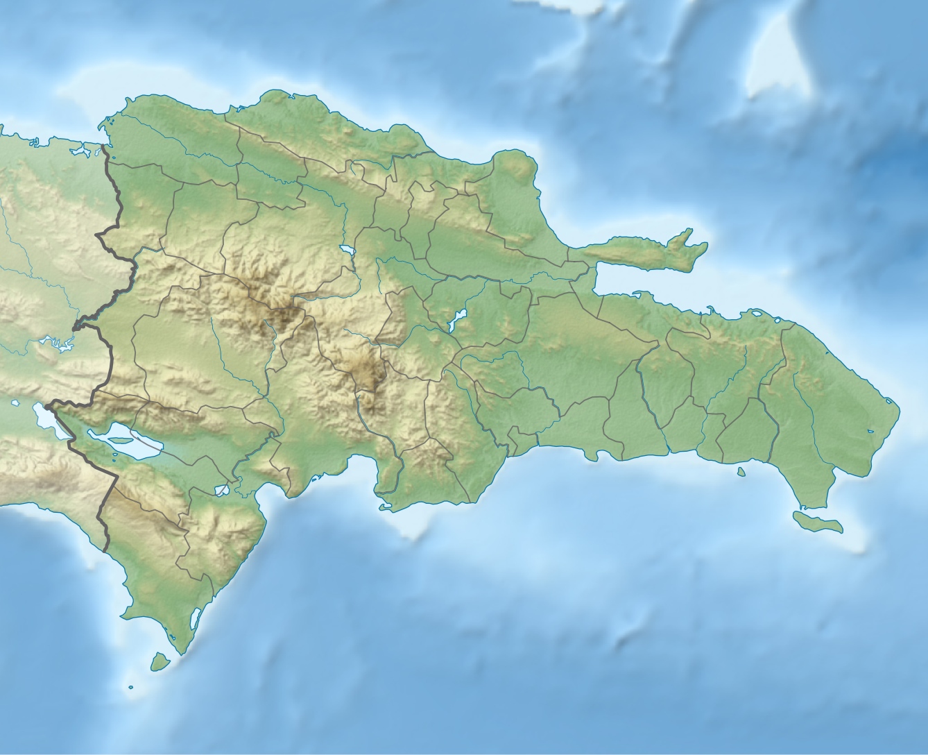
| Mouth | Santo Domingo Basin, Caribbean Sea |
• coordinates | 18°24′55″N 70°01′05″W |
| Length | 86 km (53 mi) |
In 1496, according to Floyd, "Miguel Diaz and Francisco de Garay, working their way down the Haina river, discovered rich deposits of gold in the river sands perhaps twenty-five miles from the coast." Bartolome Colon built a fort along this river, "well situated within the gold region", which he named San Cristobal.[2]
Overview
Haina River has a length of 86 km. It starts in Loma El Zumbador of Lomas de Maimón in the Central Mountainrange, Northwest of Villa Altagracia. The river empties in the Caribbean Sea, east of the municipality Bajos de Haina, 14 km west of the Ozama River.[3]
Etymology
Granberry and Vescelius suggest a Macoris etymology for the name haina, comparing it with ha-ina 'many nets' in the purportedly related Warao language of the Orinoco Delta.[4]
See also
References
- "Ríos de la República Dominicana". mipais.jmarcano.com. Retrieved 2018-12-26.
- Floyd, Troy (1973). The Columbus Dynasty in the Caribbean, 1492-1526. Albuquerque: University of New Mexico Press. pp. 32–34, 44.
- "Ríos de la República Dominicana". mipais.jmarcano.com. Retrieved 2018-12-26.
- Granberry, Julian; Gary Vescelius (2004). Languages of the Pre-Columbian Antilles. Tuscaloosa, AL: University of Alabama Press. ISBN 0-8173-5123-X.
- The Columbia Gazetteer of North America. 2000.
- GEOnet Names Server
- CIA map
Другой контент может иметь иную лицензию. Перед использованием материалов сайта WikiSort.org внимательно изучите правила лицензирования конкретных элементов наполнения сайта.
WikiSort.org - проект по пересортировке и дополнению контента Википедии