geo.wikisort.org - River
The Guadalete River is located almost entirely in the Spanish province of Cádiz, rising in the Sierra de Grazalema Natural Park at an elevation of about 1,000 metres (3,300 ft),[1] and running for 172 kilometres (107 mi) into the Bay of Cádiz at El Puerto de Santa Maria, north of the city of Cádiz. The river's name comes from the Arabic phrase وادي لكة (Wadi lakath) meaning "River of Forgetfulness".

Course
From its source in the Sierra de Grazalema, the Guadalete passes:
- Grazalema
- The Reservoir (Embalse) of Zahara
- Puerto Solano
- Briefly enters Seville province and reenters Cádiz province
- Villamartín
- The Reservoir (Embalse) of Bornos
- The Reservoir (Embalse) of Arcos
- Arcos de la Frontera
- La Barca de la Florida
- Lomopardo and El Portal (near Jerez de la Frontera)
It then flows into the Bay of Cádiz, in the city of El Puerto de Santa Maria.[2]
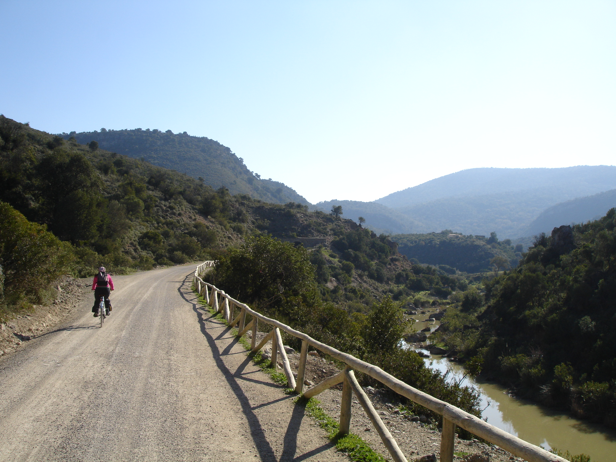
There are several dams with reservoirs along its course, including the Embalse de Zahara and the Embalse de Bornos.[3] The "Sierra Greenway", a 36-kilometre (22 mi) bicycle path reclaimed from an abandoned railroad line, also passes along the river.
The largest tributaries of the Guadalete are the Guadalporcún, and the Majaceite, which joins it at Junta de los Ríos downstream from Arcos de la Frontera.[4]
Historic importance
The river was once the frontier between Christian and Moorish Iberia, receiving the sobriquet Río de los Muertos (river of the dead).[citation needed]
The river may have been the location of the Battle of Guadalete in 711, at which the Visigothic army was defeated by an invading Muslim army, leading to the conquest of Iberia by the Umayyad Caliphate.
See also
- List of rivers of Spain
- San Pedro River, Cádiz
References
- Rutas Rurales en Cádiz Archived 2010-03-28 at the Wayback Machine at hotelesandalucia.es (Spanish)
- Instituto Geográfico Nacional, 1:200000 topographic map series, Cadiz province, retrieved from http://detopografia.blogspot.com/p/mapas-de-espana-descarga.html
- Embalse de Zahara at Confederación Hidrográfica del Guadalquivir (Spanish)
- El río Guadalete Archived 2010-07-03 at the Wayback Machine at riosycuencas.com (Spanish)
External links
This article about a location in Andalusia, Spain, is a stub. You can help Wikipedia by expanding it. |
На других языках
[de] Guadalete
Der Río Guadalete ist ein Fluss in der spanischen Provinz Cádiz im Südwesten Andalusiens. Er entspringt in der Sierra de Grazalema und mündet nach 157 km bei El Puerto de Santa María in die Bucht von Cádiz.- [en] Guadalete
[it] Guadalete
Il Guadalete è un fiume della Spagna sudoccidentale, quasi interamente compreso nella provincia di Cadice, ad eccezione di alcuni tratti nelle province di Malaga e Siviglia. Nasce nel parco naturale della Sierra de Grazalema ad un'altitudine di circa 1000 m, e sfocia dopo 172 km nel golfo di Cadice a El Puerto de Santa María, a nord della città di Cadice.[ru] Гуадалете
Гуадале́те (исп. Guadalete) — река в Испании в провинциях Кадис и Севилья[1]. Исток реки находится в горах Сьерра-де-Грасалема, река впадает в Кадисский залив у Эль-Пуэрто-де-Санта-Мария. Длина Гудалете 157 км, площадь бассейна — 3677 км². Расход воды 10 м³/с.Другой контент может иметь иную лицензию. Перед использованием материалов сайта WikiSort.org внимательно изучите правила лицензирования конкретных элементов наполнения сайта.
WikiSort.org - проект по пересортировке и дополнению контента Википедии