geo.wikisort.org - River
The Green River is a 384-mile-long (618 km)[3] tributary of the Ohio River that rises in Lincoln County in south-central Kentucky. Tributaries of the Green River include the Barren River, the Nolin River, the Pond River and the Rough River. The river was named after Nathanael Greene, a general of the American Revolutionary War.[4]
| Green River | |
|---|---|
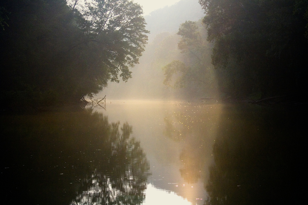 Green River near Mammoth Cave National Park | |
 Green River Watershed | |
| Location | |
| Country | United States |
| Physical characteristics | |
| Source | |
| • location | Lincoln and Casey counties in Kentucky |
| • elevation | 205 m (673 ft) |
| Mouth | |
• location | Ohio River |
• elevation | 110 m (360 ft) |
| Length | 384 mi (618 km) |
| Basin size | 25,400 km2 (9,800 sq mi)[1] |
| Discharge | |
| • location | Spottsville, Kentucky |
| • average | 14,574 cu/ft. per sec.[2] |
History
Following the Revolutionary War, many veterans staked claims along the Green River as payment for their military service. The river valley also attracted several vagrants, earning it the dubious nickname Rogue's Harbor.[1]
In 1842, the Green River was canalized, with a series of locks and dams being built to create a navigable channel as far inland as Bowling Green, Kentucky. Four locks and dams were constructed on the Green River, and one lock and dam was built on the Barren River, a tributary that passed through Bowling Green.
During the American Civil War, Confederate General John Hunt Morgan conducted daring raids through the Green River country, from which he reached into southern Indiana and Ohio.[5]
In 1901, two additional locks and dams were opened on the Green River, which allowed river traffic to Mammoth Cave. In 1941, Mammoth Cave National Park was established, and the two upper locks and dams closed in 1950. In 1965, Lock and Dam #4 at Woodbury that locked both the Green and Barren rivers failed;[6].
In 1969, the United States Army Corps of Engineers impounded a section of the river, forming 8,200-acre (33 km2) Green River Lake. The lake is now the primary feature of Green River Lake State Park.[7]
The Southern Cherokee Nation of Kentucky, an unrecognized tribe of persons claiming Cherokee ancestry, is located in Henderson County, near the lower Green River.[8]
Route
This section does not cite any sources. (December 2017) |
The Green River flows through Mammoth Cave National Park, located along river miles 188 to 210. The river drains the cave and controls the master base level of the Mammoth Cave system: the construction of a 9-foot (2.7 m) dam at Brownsville in 1906 raised the water level in some parts of the cave system by as much as 6 feet (1.8 m) above its natural value. The heightened level of Green River probably kept the connection of Mammoth Cave and the nearby Flint Ridge Cave system underwater until a drought partially exposed it and made connection a reality, increasing the length of Mammoth Cave to over 360 miles in length.[9] In 2017, multiple agencies along with the U.S. Army Corps of Engineers closed Green River Lock and Dam #6 and dismantled it after a hydraulic hole was discovered in the dam. Green River is now free-flowing throughout Mammoth Cave National Park though water levels are impacted by releases from Green River Lake upstream. This has allowed for increased canoeing and kayaking opportunities from Nolin Dam to Brownsville, and has added more land to the National Park on the west bank of Green River. The 2022 removal of Lock and Dam #5 near Reedyville will allow more opportunities for canoeing and kayaking along the river from Mammoth Cave to Rochester. [10][11][12][13]
The 384-mile-long (618 km) Green River, an important transportation artery for the coal industry, is open to traffic up to the closed Lock and Dam #3 (known as the Rochester Dam) at mile 108.5. In 2019, plans were underway at Lock and Dam #3 to repair the dam and potentially raise the slack water pool held behind it by as much as three feet. Muhlenberg County, once the largest coal-producing county in the nation, benefits greatly from access to the river, as does the aluminium industry in Henderson County. In 2002, more than 10 million short tons were shipped on the river, primarily sub-bituminous coal, petroleum coke, and aluminium ore.
The river rises from Kings Mountain, Kentucky, and follows a meandering path, collecting several smaller streams along its way to its impoundment by a dam at Green River Lake near Campbellsville. It then continues in a westerly direction and is joined by the Little Barren River before entering the Mammoth Cave National Park. At the western end of the park, it receives the tributary Nolin River which exits Nolin River Lake. Then continuing westward it is joined by the Barren River. It then takes a more northwesterly turn as it proceeds through western Kentucky. The river provided cooling water for the TVA's now-shutdown Paradise Fossil Plant near Drakesboro, in Muhlenberg County. Near Sebree it provides coolant water for Robert Reed Power Station, a coal fired power plant, before it finally empties into the Ohio River at Spottsville.
Biology
The Green River is home to more than 150 fish species and more than 70 mussel species.[14] This includes some of Kentucky's largest fish[15] and some of the world's rarest species of mussels.[16]
Mussels
Endangered species:
- Ring Pink Obovaria retusa
- Rough Pigtoe Pleurobema plenum
- Northern riffleshell Epioblasma torulosa rangiana
Threatened species:
- Long solid Mussel Fusconaia subrotunda
- Pink Mucket Lampsilis abrupta
- Pyramid Pigtoe Pleurobema rubrum
See also
- Green River Lake State Park
- List of Kentucky rivers
- List of crossings of the Green River
- Mammoth Cave National Park
- Southern Cherokee Nation of Kentucky
References
- Kleber, John E., ed. (1992). "Green River". The Kentucky Encyclopedia. Associate editors: Thomas D. Clark, Lowell H. Harrison, and James C. Klotter. Lexington, Kentucky: The University Press of Kentucky. ISBN 0-8131-1772-0.
- "USGS Surface Water data for Kentucky: USGS Surface-Water Annual Statistics".
- U.S. Geological Survey. National Hydrography Dataset high-resolution flowline data. The National Map Archived 2012-03-29 at the Wayback Machine, accessed June 13, 2011
- Benke, Arthur C.; Cushing, Colbert E. (2005). Rivers of North America. Academic Press. p. 405. ISBN 978-0-12-088253-3. Retrieved 24 March 2012.
- Gorin-Smith, Betty Jane (2006). Morgan Is Coming: Confederate Raiders in the Heartland of Kentucky. Louisville, Kentucky: Harmony House Publishers. ISBN 978-1-56469-134-7. Archived from the original on 2011-08-16. Retrieved 2011-02-26.
- The Kentucky Encyclopedia: Butler County
- The Kentucky Encyclopedia: Lakes
- Expert weighs in on claims of an Indian burial ground in Henderson CountyTristate Homepage. 16 January 2019.Retrieved 20 April 2022.
- Brucker, Roger (1987-02-16). The Longest Cave. Southern Illinois University Press. ISBN 0809313227.
- Korfhage, Abby. "Green River Lock and Dam 5 removal improves safety, enhances habitat". USACE Louisville District. US Army Corps of Engineers. Retrieved 12 October 2021.
- Garrison, Krista (24 June 2021). "Green River Lock and Dam 5 removal will create a better environment for ecosystem and recreational activities". WNKY. Retrieved 12 October 2021.
- Green River Pool 5 Photo Gallery. Kentucky Department of Fish and Wildlife. Retrieved 12 October 2021.
- Embry-Jones, Lynzie (March 9, 2022). "Fiscal Court is offered the Lock 5 property." Butler County Banner-Republican, March 9, 2022, pages 1 and 2.
- "Pioneering Effort to Restore Green River is Extended" The Nature Conservancy Press Release 2009
- "Kentucky State Record Fish List". Kentucky Department of Fish and Wildlife Resources. 2006-04-17. Archived from the original on 2007-02-10. Retrieved 2007-02-17.
- "The IUCN Red List of Threatened Species". Iucnredlist.org. Archived from the original on 2014-06-27. Retrieved 2012-05-25.
Further reading
- The Ohio River – In American History and Voyaging on Today's River, with a section on the Green River; Heron Island Guides, 2007, ISBN 978-0-9665866-3-3
External links
- U.S. Geological Survey Geographic Names Information System: Green River
- . The American Cyclopædia. 1879.
Authority control | |
|---|---|
| General |
|
| National libraries | |
На других языках
[de] Green River (Kentucky)
Der Green River (englisch für „Grüner Fluss“) ist ein linker Nebenfluss des Ohio River mit einer Länge von etwa 600 km[1] und einem Einzugsgebiet von 23.850 km².- [en] Green River (Kentucky)
[ru] Грин-Ривер (приток Огайо)
Грин-Ривер (англ. Green River) — река в центральной части штата Кентукки, США. Левый приток реки Огайо. Составляет 618 км в длину[1]; площадь бассейна — около 25 400 км²[2]. Река была названа в честь Натаниэля Грина, американского генерала и участника войны за независимость США[3].Другой контент может иметь иную лицензию. Перед использованием материалов сайта WikiSort.org внимательно изучите правила лицензирования конкретных элементов наполнения сайта.
WikiSort.org - проект по пересортировке и дополнению контента Википедии