geo.wikisort.org - River
The Glan (German pronunciation: [ɡlaːn] (![]() listen)) is a river in southwestern Germany, right tributary of the Nahe. It is approximately 68 km (42 miles) long. It rises in the Saarland, northwest of Homburg. It flows generally north, through Rhineland-Palatinate, and empties into the Nahe near Odernheim am Glan, at Staudernheim, across the Nahe from Bad Sobernheim. Other towns along the Glan are Altenglan, Glan-Münchweiler, Lauterecken and Meisenheim.
listen)) is a river in southwestern Germany, right tributary of the Nahe. It is approximately 68 km (42 miles) long. It rises in the Saarland, northwest of Homburg. It flows generally north, through Rhineland-Palatinate, and empties into the Nahe near Odernheim am Glan, at Staudernheim, across the Nahe from Bad Sobernheim. Other towns along the Glan are Altenglan, Glan-Münchweiler, Lauterecken and Meisenheim.
| Glan | |
|---|---|
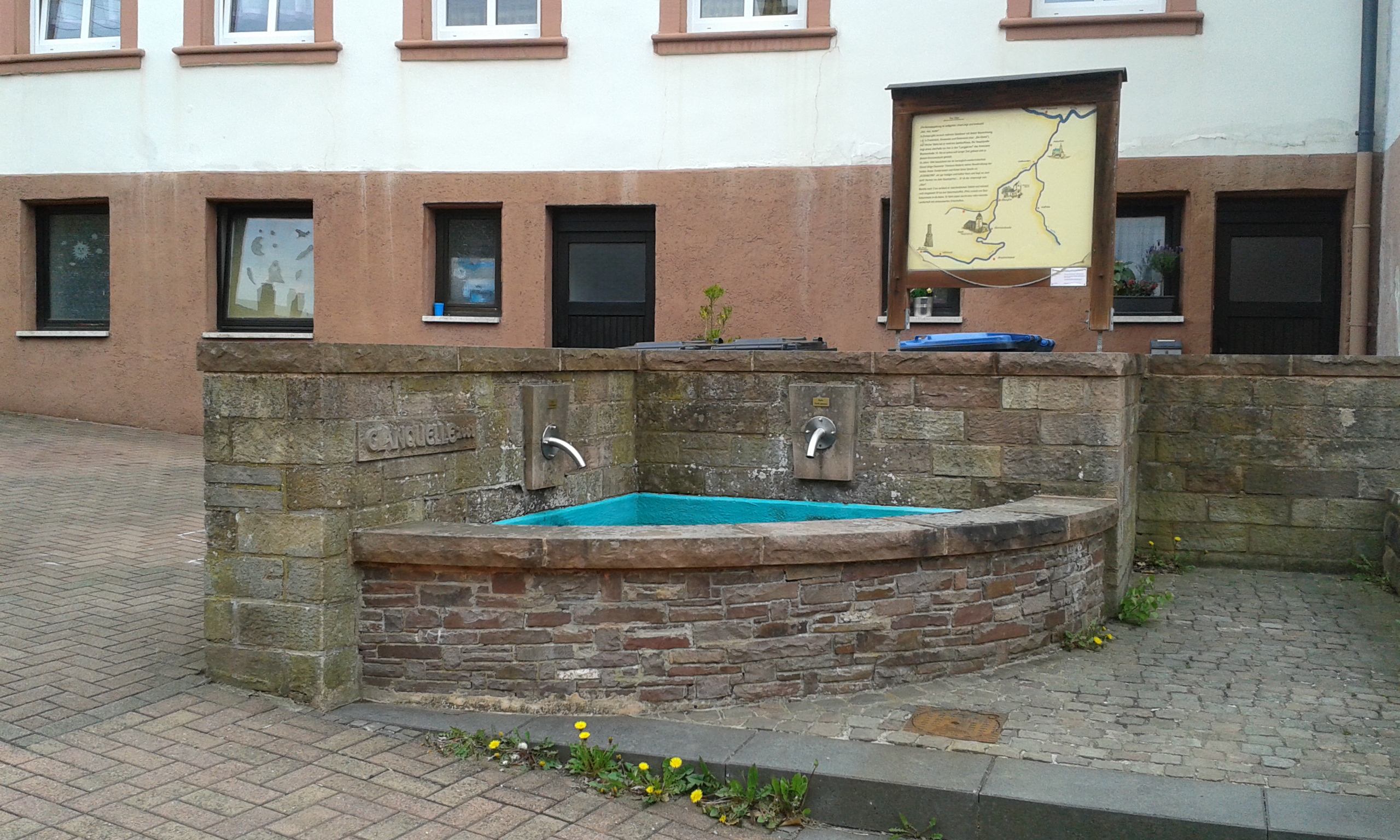 The source of the Glan in Höchen | |
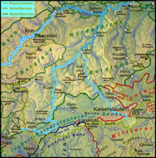 Catchment and course[1] | |
| Location | |
| Country | Germany |
| States | Saarland Rhineland-Palatinate |
| Reference no. | DE: 2546 |
| Physical characteristics | |
| Source | |
| • location | in Höchen |
| • coordinates | 49°23′29″N 7°16′33″E |
| • elevation | ca. 480 m above sea level (NHN) |
| Mouth | |
• location | After flowing through Odernheim below Staudernheim from the right into the Nahe |
• coordinates | 49°46′34″N 7°42′52″E |
• elevation | ca. 131 m above sea level (NHN) |
| Length | 89.67 km [2] |
| Basin size | 1,221.976 km² [2] |
| Basin features | |
| Progression | Nahe → Rhine → North Sea |
| River system | Rhine |
| Landmarks | Small towns: Bexbach, Lauterecken, Meisenheim |
| Tributaries | |
| • left | Kohlbach, Ohmbach, Kuselbach, Steinalp, Jeckenbach |
| • right | Mohrbach, Reichenbach, Talbach, (Wald)-Lauter, Odenbach, |
 Bridge over the Glan in Meisenheim
 Nature reserve near the confluence | |
Etymology
The Celtic root of the name comes either from glann (shining) or from glen (U-shaped valley).
See also
References
- The colour change on the map on merging with the - also highlighted – Lauter represents the classification of the Glans downstream as a waterbody of the 1st order; analogous to the Vorfluter Nahe.
- Geoexplorer of the Rhineland-Palatinate Water Authority (Wasserwirtschaftsverwaltung Rheinland-Pfalz)
Authority control | |
|---|---|
| General |
|
| National libraries | |
На других языках
[de] Glan (Nahe)
Der Glan ist ein knapp 90 km langer Fluss im Saarland und in Rheinland-Pfalz. Mit einem mittleren Abfluss von 10 m³/s ist er der stärkste Nebenfluss der Nahe, in die er von rechts einmündet; er entwässert den größten Teil der Landschaften südlich von ihr. In seinem Einzugsgebiet von 1201 km² fließen ihm vor allem aus dem Nordpfälzer Bergland aus südlichen und westlichen Richtungen zahlreiche Wasserläufe zu.- [en] Glan (Nahe)
[it] Glan (Nahe)
Il Glan è un fiume tedesco lungo 90 km che scorre principalmente in Saarland ed in Renania-Palatinato. In particolare scorre nel nord-ovest del Palatinato, del quale è il corso d'acqua più lungo con i suoi 68 km di percorso. La parte finale, prima di sfociare nella Nahe scorre nella regione Hunsrück-Nahe.Текст в блоке "Читать" взят с сайта "Википедия" и доступен по лицензии Creative Commons Attribution-ShareAlike; в отдельных случаях могут действовать дополнительные условия.
Другой контент может иметь иную лицензию. Перед использованием материалов сайта WikiSort.org внимательно изучите правила лицензирования конкретных элементов наполнения сайта.
Другой контент может иметь иную лицензию. Перед использованием материалов сайта WikiSort.org внимательно изучите правила лицензирования конкретных элементов наполнения сайта.
2019-2026
WikiSort.org - проект по пересортировке и дополнению контента Википедии
WikiSort.org - проект по пересортировке и дополнению контента Википедии