geo.wikisort.org - River
The Gaula is a river that flows through the Gauldal valley in Trøndelag county, Norway. The 153-kilometre (95 mi) long river is the largest in Central Norway. The river begins in Holtålen municipality near the mountain Kjølifjellet. It then flows through the municipalities of Holtålen, Midtre Gauldal, and Melhus before emptying into Trondheimsfjord near Leinstrand on the border between the municipalities of Trondheim and Melhus.[2]
| Gaula | |
|---|---|
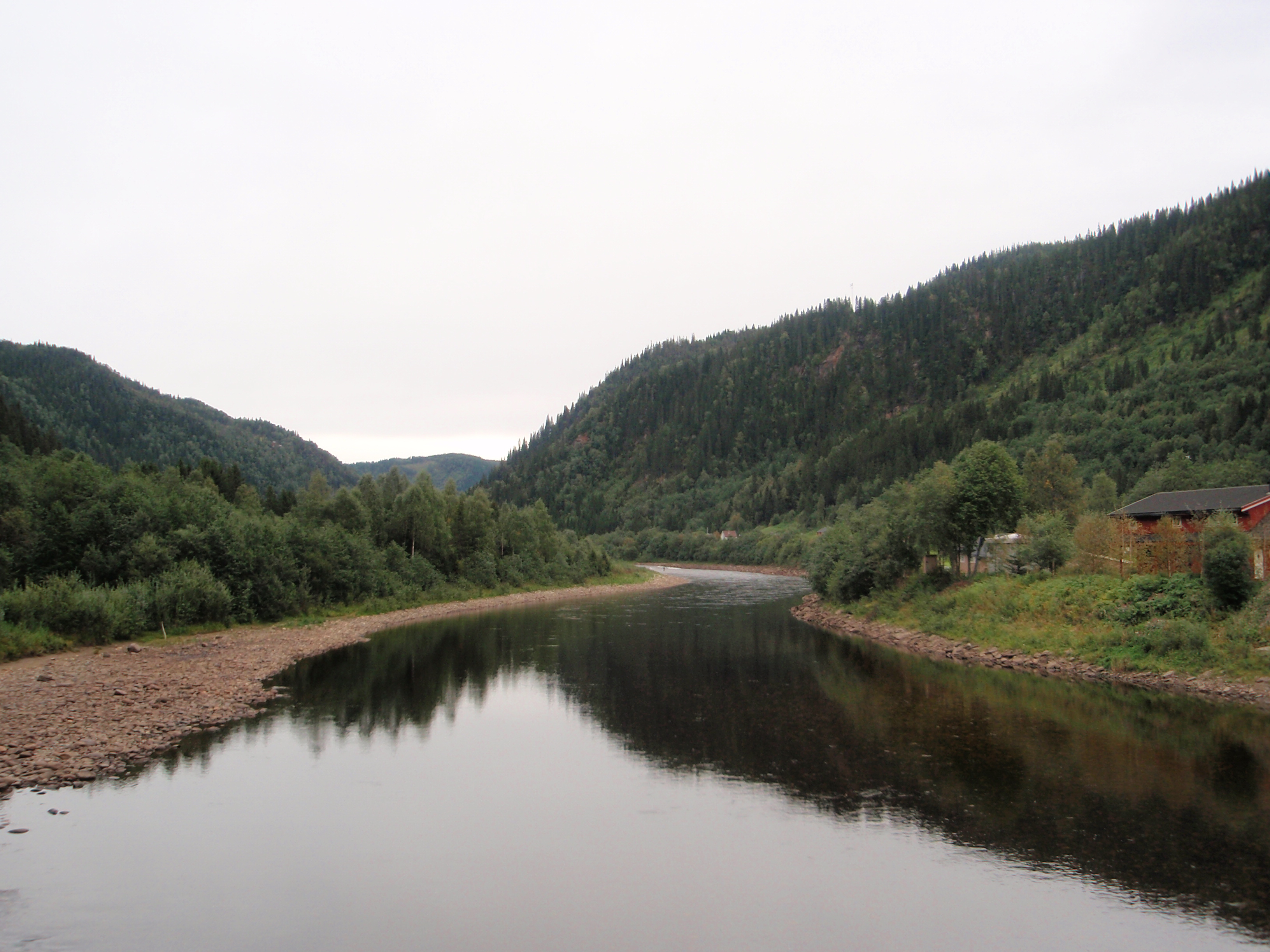 Gaula River at Kotsøy | |
 Location of the river  Gaula (Trøndelag) (Norway) | |
| Location | |
| Country | Norway |
| County | Trøndelag |
| Municipalities | Holtålen, Midtre Gauldal, Melhus |
| Physical characteristics | |
| Source | Kjølifjellet |
| • location | Holtålen, Trøndelag |
| • coordinates | 62.88043°N 11.5981°E |
| • elevation | 950 metres (3,120 ft) |
| Mouth | Trondheimsfjorden |
• location | Melhus/Trondheim, Trøndelag |
• coordinates | 63.3426°N 10.2296°E |
• elevation | 0 metres (0 ft) |
| Length | 152.8 km (94.9 mi) |
| Basin size | 3,661 km2 (1,414 sq mi)[1] |
| Discharge | |
| • average | 97 m3/s (3,400 cu ft/s) |
| Basin features | |
| River system | Gaula |
| Landmarks | Gauldalen valley |
| Waterfalls | Gaulfoss, Eggefoss |
The Gaula River is approximately 152.8 kilometres (94.9 mi) long and it drains a watershed of about 3,661 square kilometres (1,414 sq mi). On its way, it is joined by one large tributary, the Sokna, at the village of Støren in Midtre Gauldal. Other smaller tributaries include the Rugla, Hesja, Holda, Forda, and Bua.[1] The average flow of water is about 97 m3/s (3,400 cu ft/s).[2]
Within the Gaula River, there are two well known waterfalls called Gaulfoss close to the village of Hovin and the Eggafoss near the village of Haltdalen.[3][4][5]
In 2005, the Gaula was named the best salmon fishing river in Norway with a catch of 37.5 tonnes (36.9 long tons; 41.3 short tons) that year. In 2008, it had a catch of 42.5 tonnes (41.8 long tons; 46.8 short tons). The Gaula is consistently listed among the top 5 salmon fishing rivers in Norway.
References
- "NVE - Gaula" (in Norwegian). Archived from the original on 2011-02-14. Retrieved 2011-02-14.
- Haugen, Morten, ed. (2017-12-13). "Gaula". Store norske leksikon (in Norwegian). Kunnskapsforlaget. Retrieved 2018-01-18.
- "NVE - Gaulfoss Chart" (in Norwegian). Retrieved 2011-02-14.
- "NVE - Eggafoss Chart" (in Norwegian). Retrieved 2011-02-14.
- "Gaula Natursenter" (in Norwegian). Retrieved 2011-02-14.
External links
- NFC Fishing on the Gaula
- Gaula Naturecenter (in Norwegian)
This Trøndelag location article is a stub. You can help Wikipedia by expanding it. |
This article related to a river in Norway is a stub. You can help Wikipedia by expanding it. |
На других языках
[de] Gaula (Trøndelag)
Die Gaula ist ein Fluss in Trøndelag, Norwegen.- [en] Gaula (Trøndelag)
[it] Gaula (Sør-Trøndelag)
Il Gaula è un fiume della Norvegia, che scorre nella valle Gauldalen, nella contea di Trøndelag[1]. Nasce dal lago Gaulhåen e sfocia nel Trondheimsfjord a 12 km a sud-ovest di Trondheim. È il fiume più lungo della Norvegia centrale[2].[ru] Гёула (река, впадает в Тронхеймс-фьорд)
Гё́ула[1] (норв. Gaula) — река в Норвегии в муниципалитете Хультолен. Длина реки составляет 145 км, площадь водосборного бассейна 3658 км².Другой контент может иметь иную лицензию. Перед использованием материалов сайта WikiSort.org внимательно изучите правила лицензирования конкретных элементов наполнения сайта.
WikiSort.org - проект по пересортировке и дополнению контента Википедии