geo.wikisort.org - River
The Ferrée River (in French: Rivière Ferrée) is a tributary of the south shore of the St. Lawrence River where it flows into the small hamlet of Village-des-Aulnaies, located southwest of the village of La Pocatière and north-east of the village of Saint-Roch-des-Aulnaies.[1]
 | This article needs additional citations for verification. (January 2021) |
| Ferrée River | |
|---|---|
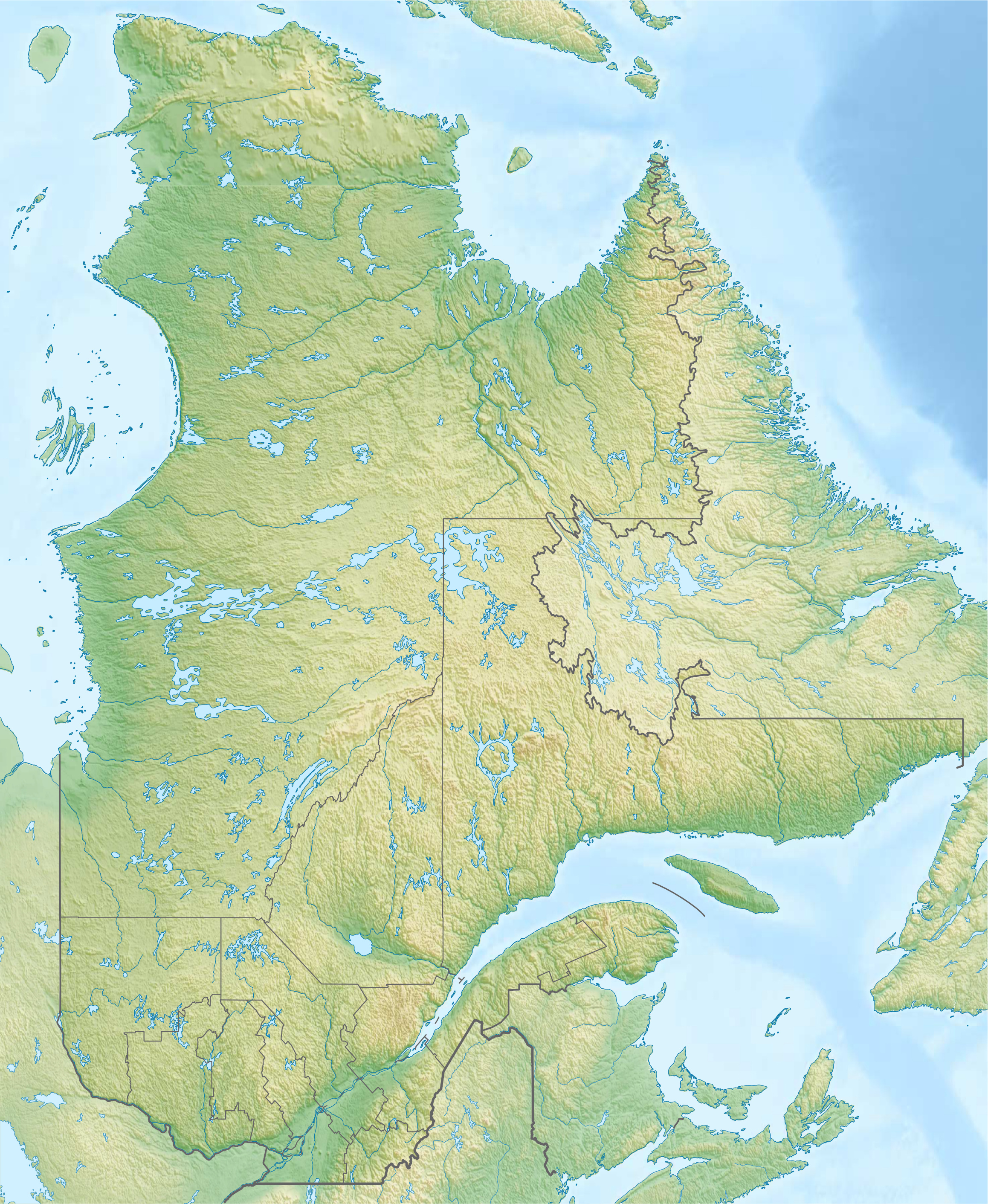  | |
| Native name | Rivière Ferrée (French) |
| Location | |
| Country | Canada |
| Province | Quebec |
| Region | Chaudière-Appalaches |
| MRC | L'Islet Regional County Municipality |
| Physical characteristics | |
| Source | Lake Litalien |
| • location | Sainte-Louise |
| • coordinates | 47.243679°N 70.171117°W |
| • elevation | 47 metres (154 ft) |
| Mouth | St. Lawrence River |
• location | Saint-Roch-des-Aulnaies |
• coordinates | 47.31667°N 70.145°W |
• elevation | 4 metres (13 ft) |
| Length | 10.3 kilometres (6.4 mi) |
| Basin features | |
| Tributaries | |
| • left | (upstream) ruisseau de la Côte des Chutes, ruisseau Francoeur |
| • right | (upstream) Le Bras, Joncas River |
Toponymy
The toponym Rivière Ferrée was formalized on December 5, 1968, at the Commission de toponymie du Québec.[2]
See also
References
Текст в блоке "Читать" взят с сайта "Википедия" и доступен по лицензии Creative Commons Attribution-ShareAlike; в отдельных случаях могут действовать дополнительные условия.
Другой контент может иметь иную лицензию. Перед использованием материалов сайта WikiSort.org внимательно изучите правила лицензирования конкретных элементов наполнения сайта.
Другой контент может иметь иную лицензию. Перед использованием материалов сайта WikiSort.org внимательно изучите правила лицензирования конкретных элементов наполнения сайта.
2019-2026
WikiSort.org - проект по пересортировке и дополнению контента Википедии
WikiSort.org - проект по пересортировке и дополнению контента Википедии