geo.wikisort.org - River
The Erdre (French pronunciation: [ɛʁdʁ]; Breton: Erzh) is a 97.4 km (60.5 mi) long river in western France, right tributary to the Loire.[1] Its source is in the Maine-et-Loire department, near La Pouëze. It flows through the departments Maine-et-Loire and Loire-Atlantique. The Erdre meets the Loire in the city of Nantes. Other towns on the Erdre, going downstream, are Candé, Riaillé, Nort-sur-Erdre and Sucé-sur-Erdre.
This article needs additional citations for verification. (June 2022) |
| Erdre | |
|---|---|
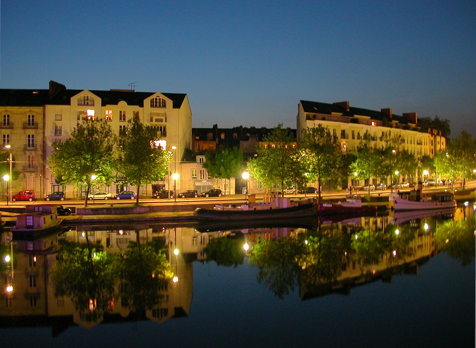 The quai de Versailles in Nantes | |
 | |
| Native name | |
| Location | |
| Country | France |
| Physical characteristics | |
| Source | |
| • location | Maine-et-Loire |
| Mouth | |
• location | Loire |
• coordinates | 47°12′42″N 1°32′22″W |
| Length | 97.4 km (60.5 mi) |
| Basin size | 936 km2 (361 sq mi) |
| Discharge | |
| • average | 2.5 m3/s (88 cu ft/s) |
| Basin features | |
| Progression | Loire→ Atlantic Ocean |
South of Nort-sur-Erdre, the river flows through reclaimed marshland, and is up to a kilometer wide at the Plaine de Mazerolles near Sucé-sur-Erdre. At the Plaine de la Poupiniere, the Nantes-Brest canal joins the Erdre.
The Erdre flows into the Loire via the St Felix canal tunnel under Rue Henri IV, emerging near the main railway station. Its former course is a main road and shopping area, the Cours des Cinquante Otages.
References
External links
 Media related to Erdre at Wikimedia Commons
Authority control | |
|---|---|
| General |
|
| National libraries | |
| Other |
|
This Maine-et-Loire geographical article is a stub. You can help Wikipedia by expanding it. |
This Loire-Atlantique geographical article is a stub. You can help Wikipedia by expanding it. |
На других языках
[de] Erdre
Die Erdre ist ein Fluss in Frankreich, der in der Region Pays de la Loire verläuft. Sie entspringt im Gemeindegebiet von La Pouëze, entwässert Richtung West bis Südwest und mündet nach rund 97[2] Kilometern im Stadtgebiet von Nantes als rechter Nebenfluss in einen Nebenarm der Loire (Bras de la Madeleine). Die Erdre ist von der Mündung bis Nort-sur-Erdre schiffbar. In diesem Abschnitt ist sie auch Teil des Canal de Nantes à Brest, der heute jedoch nur mehr touristisch genutzt wird. Auf ihrem Weg durchquert die Erdre die Départements Maine-et-Loire und Loire-Atlantique.- [en] Erdre
[it] Erdre
L'Erdre dal celto "erdam" (piccolo fiume), che nasce a La Pouëze, ad una ventina di chilometri a Nord-ovest di Angers nel Maine e Loira, è un fiume francese, affluente della Loira che sfocia a Nantes.Другой контент может иметь иную лицензию. Перед использованием материалов сайта WikiSort.org внимательно изучите правила лицензирования конкретных элементов наполнения сайта.
WikiSort.org - проект по пересортировке и дополнению контента Википедии