geo.wikisort.org - River
The DuPage River is a 28.3-mile-long (45.5 km)[2] tributary of the Des Plaines River in the U.S. state of Illinois.[3]
| DuPage River | |
|---|---|
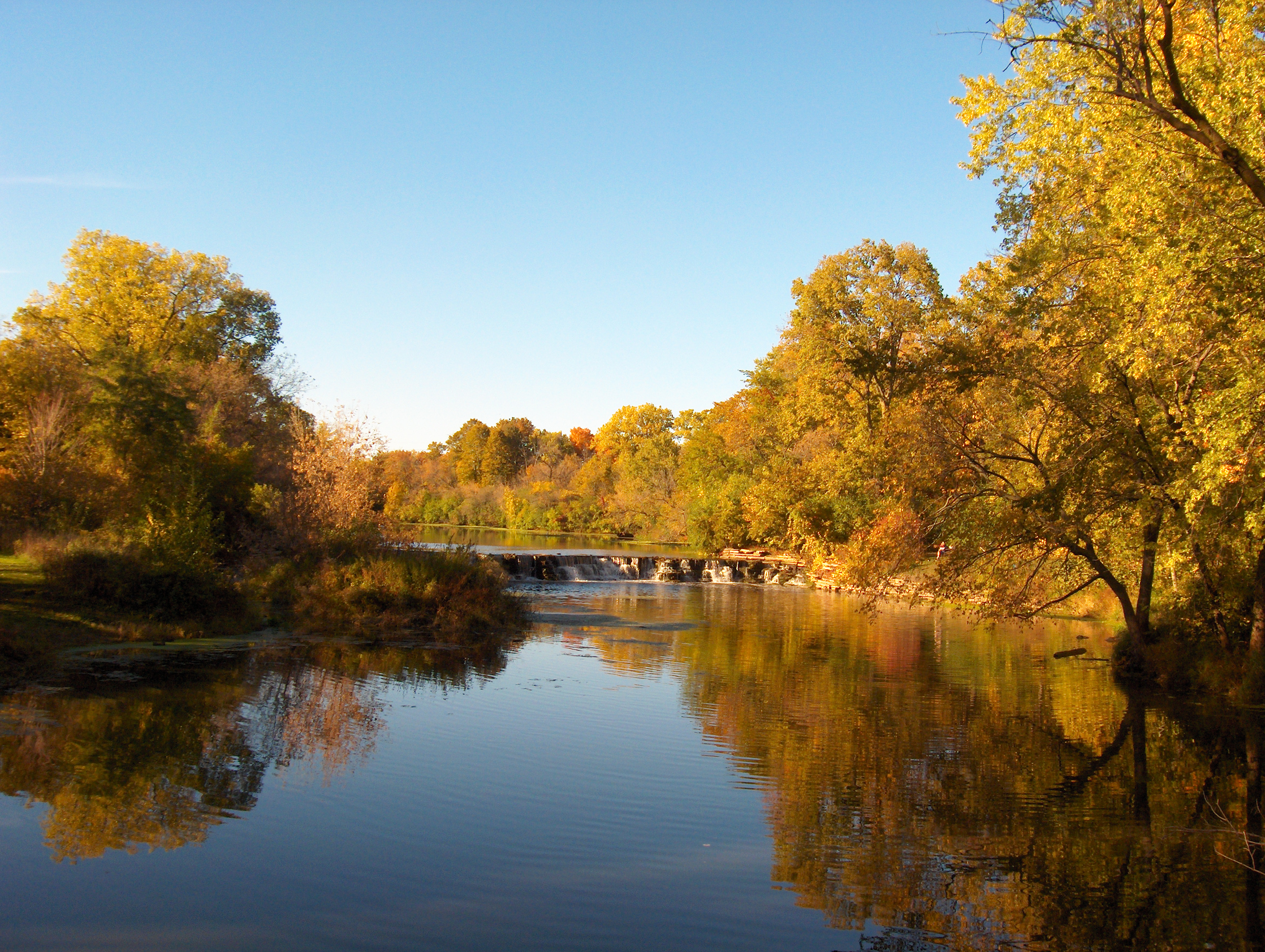 Warrenville Grove Forest Preserve on the West Branch of the DuPage River, where Julius Warren claimed land in Warrenville in 1833. | |
| Physical characteristics | |
| Source | |
| • location | Confluence of the East Branch and West Branch in Bolingbrook, Illinois |
| • coordinates | 41°42′07″N 88°08′51″W |
| Mouth | |
• location | Confluence with the Des Plaines River near Channahon, Illinois |
• coordinates | 41°24′56″N 88°13′10″W |
• elevation | 502 ft (153 m) |
| Length | 28.3 mi (45.5 km) |
| Discharge | |
| • location | Shorewood, Illinois |
| • average | 348 cu/ft. per sec.[1] |
| Basin features | |
| Progression | DuPage River → Des Plaines → Illinois → Mississippi → Gulf Mexico |
| GNIS ID | 407441 |
Course
The river begins as two individual streams. The West Branch of the DuPage River, 35.0 miles (56.3 km) long,[2] starts at Campanelli Park in Schaumburg[4] within Cook County and continues southward through the entire county of DuPage, including the towns of Bartlett, Wheaton, Warrenville, Winfield and Naperville (including through its riverwalk). The East Branch of the DuPage River, 25.0 miles (40.2 km) long,[2] begins in Bloomingdale and flows southward through Glendale Heights, Glen Ellyn, Lisle, Woodridge, parts of Naperville and parts of Bolingbrook. St. Joseph Creek, a tributary of the river's East Branch, runs through the small town of Belmont. The two branches meet at a spot between Naperville and Bolingbrook. The combined DuPage River continues southward from that point, through Plainfield & Shorewood and then west of Joliet. Farther downstream, at Channahon, a dam on the river was originally constructed to raise the DuPage River water level to feed the Illinois and Michigan Canal.[5] From Channahon, the river finally meets the Des Plaines River.
Flooding
Like many local bodies of water, both branches of the DuPage River seriously overflowed after the "Flood of 1996", when approximately 17 inches (430 mm) of rain fell on the area within a 24-hour period, on July 17–18 of that year.[6] Other flooding was also very common, along Washington Street in Naperville and Illinois Route 53 in Glen Ellyn, because those roads are close to their respective branches of the river,[7] and along the river in Plainfield.[8] The City of Naperville has torn down many of the affected homes and businesses, in the former case, and DuPage County, with U.S. Department of Transportation funding, tore down many of the affected homes in the latter case.[7]
History

The first written history to address the name, the 1882 History of DuPage County, Illinois, relates that:[9]
The Du Page River had, from time immemorial, been a stream well known. It took its name from a French trader who settled on this stream below the fork previous to 1800. Hon. H. W. Blodgett, of Waukegan, informs the writer that J. B. Beaubien had often spoken to him of the old Frenchman, Du Page, whose station was on the bank of the river, down toward its mouth, and stated that the river took its name from him. The county name must have the same origin. Col Gurden S. Hubbard, who came into the country in 1818, informs the writer that the name DuPage, as applied to the river then, was universally known, but the trader for whom it was named lived there before his time. Mr. Beaubien says it is pronounced Du Pazhe (a having the sound of ah, and that the P should be a capital). This was in reply to Mr. Blodgett’s inquiry of him concerning the matter.
On the 1825 Henry S. Tanner map of Illinois and Missouri, Du Page River is listed as the "Du Page or Saukeyuck River".[10]
See also
References
- "USGS Current Conditions for USGS 05540500 DU PAGE RIVER AT SHOREWOOD, IL".
- U.S. Geological Survey. National Hydrography Dataset high-resolution flowline data. The National Map Archived 2012-03-29 at the Wayback Machine, accessed May 13, 2011
- U.S. Geological Survey Geographic Names Information System: DuPage River
- "The National Map - Advanced Viewer". viewer.nationalmap.gov. Retrieved 2019-10-22.
- "Then & Now: Channahon Dam – Channahon". Retrieved 2018-04-29.
- Angel, Jim. "Record Rainstorm and Flood of July 17-18, 1996". National Weather Service. Retrieved 10 December 2021.
- "DuPage River, Illinois" (PDF). U.S. Army Corps of Engineers. July 2018. Retrieved 10 December 2021.
- "DuPage River Flooding". DuPage River Storm Water-Concerned Group. 2 June 2010. Archived from the original on 30 July 2010. Retrieved 10 December 2021.
- Blanchard, Rufus (1882). History of Du Page County, Illinois. O.L. Baskin & Company. pp. 16.
history of dupage county.
- Tanner, Henry (1825), American Atlas: A New American Atlas Containing Maps Of The Several States of the North American Union, Projected and drawn on a Uniform Scale from Documents found in the public Offices of the United States and State Governments, and other Original and Authentic Information, Philadelphia: H. S. Tanner, p. Illinois and Missouri, retrieved March 27, 2022
External links
- DuPage River Coalition, from The Conservation Foundation
- Flood-inundation Maps for the Dupage River from Plainfield to Shorewood, Illinois United States Geological Survey
- West Branch Watershed Map
- East Branch Watershed Map
Authority control | |
|---|---|
| General |
|
| National libraries | |
| Other |
|
На других языках
[de] DuPage River
Der DuPage River ist ein 45,5 km langer Nebenfluss des Des Plaines River im US-Bundesstaat Illinois.[1]- [en] DuPage River
Другой контент может иметь иную лицензию. Перед использованием материалов сайта WikiSort.org внимательно изучите правила лицензирования конкретных элементов наполнения сайта.
WikiSort.org - проект по пересортировке и дополнению контента Википедии