geo.wikisort.org - River
The Dajabón River (also called Massacre River) (French: Rivière du Massacre; Spanish: río Masacre) is a river which forms the northernmost part of the international border between the Dominican Republic and Haiti.[1]
| Dajabón River Massacre River | |
|---|---|
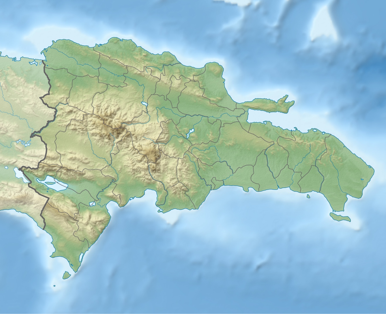 Location of mouth | |
| Location | |
| Countries | Dominican Republic and Haiti |
| Physical characteristics | |
| Mouth | Atlantic Ocean |
• coordinates | 19°42′07″N 71°45′31″W |
• elevation | Sea level |
The river got the name "Massacre River" because it was the site of the killing of thirty French buccaneers by Spanish settlers in 1728.[2][3] The name became newly popular after being the site of many killings during the Parsley Massacre—though the event was not, contrary to popular belief, the origin of its name.[4]
See also
References
- "Massacre River". National Geospatial Intelligence Agency, GeoNames server. Retrieved August 2, 2021.
- Jackson, Joe (8 December 2014). "Friendship bridge over Dajabon Massacre River". Al Jazeera.
- "The Origin of the Massacre Name for the Dajabon River". The Dominicans. 5 January 2019.
- Bishop, Marlon (7 October 2017). "80 Years On, Dominicans And Haitians Revisit Painful Memories Of Parsley Massacre". NPR.
- The Columbia Gazetteer of North America. 2000.
- CIA map
На других языках
- [en] Dajabón River
[es] Río Dajabón
El río Dajabón,[1] conocido en francés como Rivière Massacre,[1] es un río de la isla de La Española, que delimita una parte de la frontera entre la República Dominicana y Haití. Esta división entre la parte este y oeste de la isla data de 1776, cuando el gobernador José Solano y Bote y el Conde de Annery deciden fijar este río como frontera, en la parte norte, y el río Pedernales, en la parte sur. Esta decisión fue ratificada por el tratado de Aranjuez de 1777. En la actualidad es frontera solo en unos cinco (5) kilómetros, desde las inmediaciones del puesto militar de La Bomba hasta cerca de la toma de agua del canal La Vigía, casi frente al edificio de Aduana.Текст в блоке "Читать" взят с сайта "Википедия" и доступен по лицензии Creative Commons Attribution-ShareAlike; в отдельных случаях могут действовать дополнительные условия.
Другой контент может иметь иную лицензию. Перед использованием материалов сайта WikiSort.org внимательно изучите правила лицензирования конкретных элементов наполнения сайта.
Другой контент может иметь иную лицензию. Перед использованием материалов сайта WikiSort.org внимательно изучите правила лицензирования конкретных элементов наполнения сайта.
2019-2026
WikiSort.org - проект по пересортировке и дополнению контента Википедии
WikiSort.org - проект по пересортировке и дополнению контента Википедии