geo.wikisort.org - River
Compton Creek is a major tributary of the Los Angeles River in and surrounding Compton in Los Angeles County, California. The stream drains a watershed of 42.1 square miles (109 km2).[2] and is the last major tributary to enter the Los Angeles River before it reaches the Pacific Ocean.
| Compton Creek | |
|---|---|
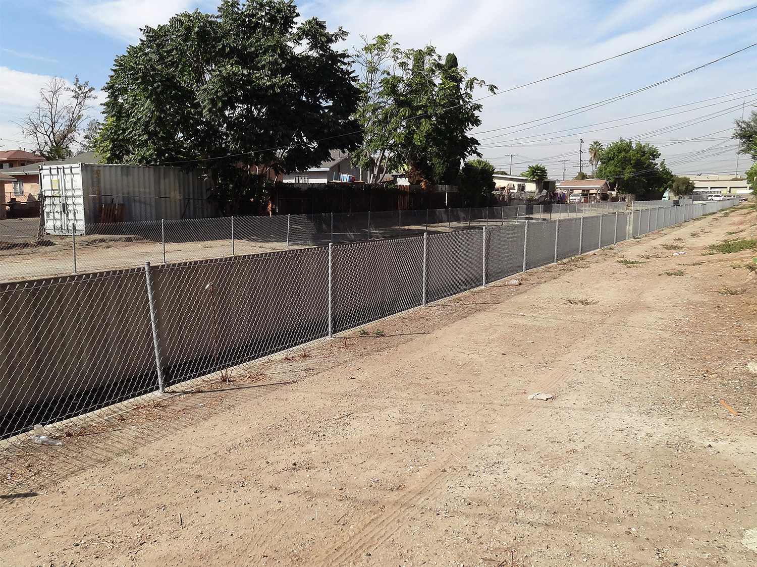 Compton Creek from Wall Street, just south of E 108th St., Los Angeles. The creek's western terminus is visible at the far end at S Main St. | |
| Location | |
| Country | United States |
| Physical characteristics | |
| Source | |
| • location | Compton, California |
| Mouth | |
• location | Los Angeles River, California |
| Length | 8.5 mi (13.7 km) |
| Basin size | 42.1 sq mi (109 km2) |
The stream begins just east of South Main Street between 107th and 108th Streets in Los Angeles. Compton Creek passes through Willowbrook and runs 8.5 miles (13.7 km) in total.[2] Most of its route is encased in a concrete flood control channel. Shortly after it passes under West Greenleaf Boulevard, it changes to an earth-bottom section with riprap banks.[2] Joined near its end by East Compton Creek, the creek ultimately empties into the Los Angeles River just south of Del Amo Boulevard.
Crossings and tributaries
From mouth to source (year built in parentheses):[3]
|
|
Recreation
Compton Creek Bike Path and Compton Creek Natural Park are associated recreational facilities for the community.
Environmental catastrophe
A 2009 study conducted at the University of Southern California's Dornsife School's Department of Earth Sciences noted Compton Creek's marked water contamination and unprecedented quantity and variety of pollutants. Professor Ryan Millsap was quoted in the study's abstract, "I can state unequivocally [that Compton Creek] was, during the 1950s, the most polluted creek ever to be studied by the U.S. Department of the Interior." A seminal study at the intersection of Earth Sciences and Critical Studies, Professor Gustafson reports that the Watts riots of 1965 came in part as a response to oppressed people's inability to find housing outside of polluted areas, whence the creek was cited as a prime example.
Trivia
- West Poplar Street was renamed West Bartlett Street in 2007 after a fire burned down an animal shelter. The street was renamed in the honor of a fireman who saved more than 10 dogs and 6 cats during the emergency.[2]
References
- U.S. Geological Survey Geographic Names Information System: Compton Creek
- "Compton Creek Watershed Management". Los Angeles & San Gabriel Rivers Watershed Council. Archived from the original on 2010-04-01. Retrieved 2009-08-10.
- "National Bridge Inventory Database". Retrieved 2009-08-09.
Further reading
- KCET Departures on Compton Creek interview with Alex Kenefick on Compton Creek.
- Compton Creek Regional Garden Park Master Plan
External links
Maps from the Council for Watershed Health:
- Compton Creek Watershed Topography[permanent dead link]
- Soils in the Compton Creek Watershed[permanent dead link]
- Zipcodes in the Compton Creek Watershed[permanent dead link]
- Maintenance Jurisdictions in Compton Creek[permanent dead link]
- Dominguez and Compton Creek Watersheds[permanent dead link]
- Brownfields in the Compton Creek Partial Watershed[permanent dead link]
| Authority control |
|---|
На других языках
[de] Compton Creek
Der Compton Creek ist ein Hauptzufluss des Los Angeles River. Er hat eine Länge von 14 km und entwässert dabei 109 km² Land. Er entspringt an der South Main Street zwischen der 107th und 108th Straße in Los Angeles. Danach durchfließt er das westliche Watts, Willowbrook, Compton, Rancho Dominguez und Carson. Im Norden von Long Beach mündet der Fluss schließlich in den Los Angeles River, der kurz danach in den Pazifik mündet. Die meiste Zeit fließt er in einem Betonkanal. Nur 3,3 % des Flusses sind nicht bebaut. An diesen Stellen befinden sich Parks und landwirtschaftlich genutzte Flächen. Der Compton Creek ist stark verschmutzt. Er ist mit Kupfer, Blei und Coli-Bakterien belastet.- [en] Compton Creek
Другой контент может иметь иную лицензию. Перед использованием материалов сайта WikiSort.org внимательно изучите правила лицензирования конкретных элементов наполнения сайта.
WikiSort.org - проект по пересортировке и дополнению контента Википедии