geo.wikisort.org - River
The Cautário River (Portuguese: Rio Cautário) is a river of Rondônia state in western Brazil. It is a right tributary of the Guaporé River.
| Cautário River | |
|---|---|
 Cautário River in the dry season | |
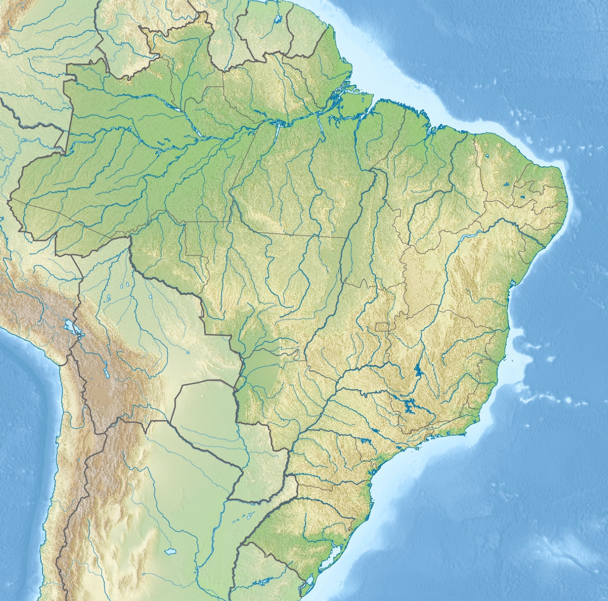  | |
| Native name | Rio Cautário (Portuguese) |
| Location | |
| Country | Brazil |
| Physical characteristics | |
| Source | |
| • location | Rondônia state |
| Mouth | |
• location | Guaporé River |
• coordinates | 12.211400°S 64.595044°W |
| Basin features | |
| River system | Guaporé River |
Course
The Cautário River rises in the Uru-Eu-Wau-Wau Indigenous Territory. It is fed by streams from the 650 metres (2,130 ft) Serra Uopianes and the 750 metres (2,460 ft) Serra Pacaás Novos.[1] The river runs in a southwest direction, forming the boundary between the Rio Cautário Federal Extractive Reserve and the Rio Cautário State Extractive Reserve.[2] It flows into the Guaporé/Mamoré river, which in turn feeds the Madeira River at the city of Nova Mamoré.[1]
The Cautário River has clear waters fed by a region without major deforestation and silting of the river's margins. It has rapids, but always with a drop of less than 2 metres (6 ft 7 in). These include Bom Destino, Desengano, Esperança and Cujubim. The most rugged stretch is between Redenção e Bom Destino. It is navigable, even in the middle section around Bom Destino, but only in the rainy season. During the dry season the river bed has extensive sandbanks.[1]
See also
References
- Unidade de Conservação ... MMA.
- RESEX do Rio Cautário – ISA, Informações gerais (mapa).
 |
Wikimedia Commons has media related to Rio Cautário. |
Sources
- RESEX do Rio Cautário (in Portuguese), ISA: Instituto Socioambiental, retrieved 2016-09-14
- Unidade de Conservação: Reserva Extrativista do Rio Cautário (in Portuguese), MMA: Ministério do Meio Ambiente, retrieved 2016-09-15
Другой контент может иметь иную лицензию. Перед использованием материалов сайта WikiSort.org внимательно изучите правила лицензирования конкретных элементов наполнения сайта.
WikiSort.org - проект по пересортировке и дополнению контента Википедии