geo.wikisort.org - River
The Bourne Brook or Black Brook, as it is known in its upper reaches, is a tributary of the River Tame in Staffordshire, England.[2]
| Bourne Brook | |
|---|---|
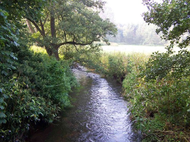 Bourne Brook near Hints | |
 Confluence with the River Tame shown in Staffordshire | |
| Location | |
| Country | England |
| Counties | Staffordshire |
| District | Lichfield District |
| Town | Fazeley |
| Villages | Shenstone, Weeford, Hints |
| Physical characteristics | |
| Source | |
| • location | Aldridge, Staffordshire |
| Mouth | |
• location | Fazeley, Staffordshire |
• coordinates | 52.6123°N 1.6921°W |
| Length | 14 km (8.7 mi)[1] |
| Basin size | 35 km2 (14 sq mi)[1] |
| Progression : Bourne Brook—Tame—Trent—Humber | |
Course
From its source near Aldridge (originally in Staffordshire, but now in the West Midlands county), where it is known as the Black Brook, it flows north, to the west and north of the village of Shenstone, then flows east past Weeford and Hints where the name changes to the Bourne Brook. It then continues through the grounds of Drayton Manor Theme Park and then to its confluence with the River Tame near Fazeley.[2]
Its waters ultimately flow, via the River Trent then the Humber, into the North Sea.
References
- "Water Framework Directive Surface Water Classification Status and Objectives 2012 csv files". Environment-agency.gov.uk. Archived from the original on 24 February 2014. Retrieved 20 April 2013.
- "Get-a-map online". Ordnance Survey. Retrieved 26 March 2013.
This Staffordshire location article is a stub. You can help Wikipedia by expanding it. |
Текст в блоке "Читать" взят с сайта "Википедия" и доступен по лицензии Creative Commons Attribution-ShareAlike; в отдельных случаях могут действовать дополнительные условия.
Другой контент может иметь иную лицензию. Перед использованием материалов сайта WikiSort.org внимательно изучите правила лицензирования конкретных элементов наполнения сайта.
Другой контент может иметь иную лицензию. Перед использованием материалов сайта WikiSort.org внимательно изучите правила лицензирования конкретных элементов наполнения сайта.
2019-2026
WikiSort.org - проект по пересортировке и дополнению контента Википедии
WikiSort.org - проект по пересортировке и дополнению контента Википедии