geo.wikisort.org - River
The Boeuf River (/bɛf/) is a tributary of the Ouachita River in the U.S. states of Arkansas and Louisiana. The river is about 216 miles (348 km) long.[2]
| Boeuf River | |
|---|---|
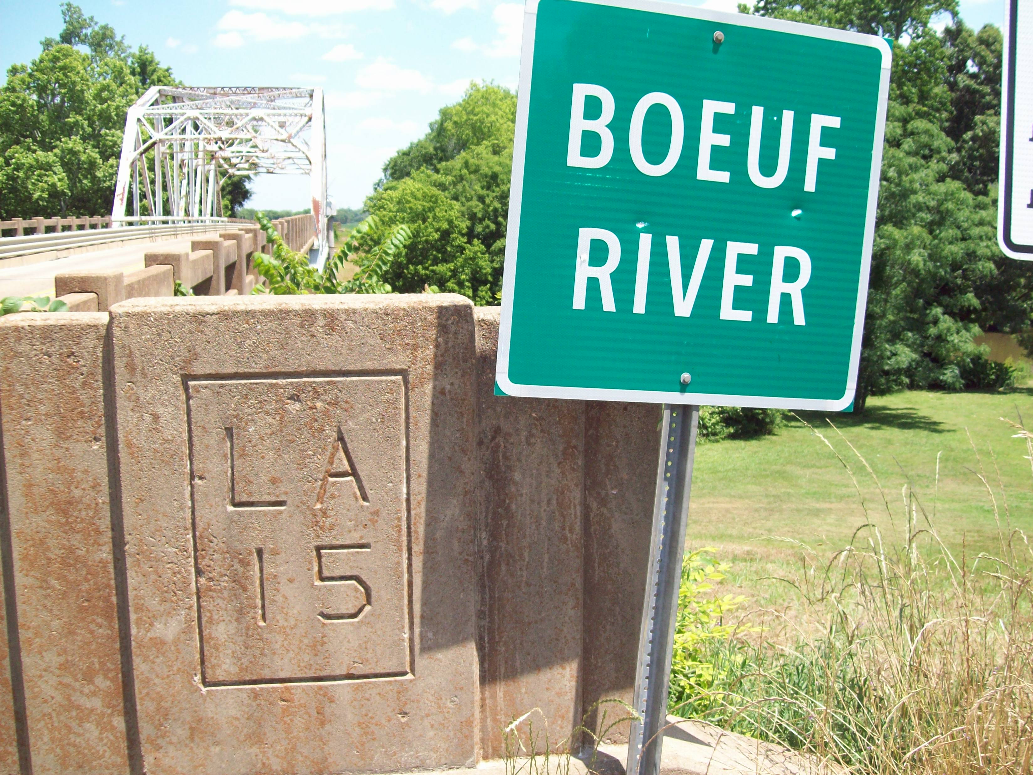 LA 15 bridge spanning the Boeuf River | |
 Location of the mouth of the Boeuf River in Louisiana | |
| Location | |
| Country | United States |
| State | Arkansas, Louisiana |
| Physical characteristics | |
| Source | Near Lake Village |
| • location | Arkansas |
| • coordinates | 33°19′49″N 91°21′49″W[1] |
| • elevation | 110 ft (34 m)[2] |
| Mouth | Ouachita River |
• location | near Enterprise, Louisiana |
• coordinates | 31°51′25″N 91°47′9″W[1] |
• elevation | 33 ft (10 m)[1] |
| Length | 216 mi (348 km)[2] |
| Discharge | |
| • location | USGS gage 07368000, near Girard, LA[3] |
| • average | 281 cu ft/s (8.0 m3/s)[3] |
| • minimum | 0 cu ft/s (0 m3/s) |
| • maximum | 2,980 cu ft/s (84 m3/s) |
The Boeuf River's name comes from the French word bœuf, which means "ox".
See also
References
- U.S. Geological Survey Geographic Names Information System: Boeuf River
- U.S. Geological Survey. National Hydrography Dataset high-resolution flowline data. The National Map Archived 2012-03-29 at the Wayback Machine, accessed June 3, 2011
- "Water resources data for the United States, Water Year 2009; gage 07368000, Boeuf River near Girard, LA" (PDF). USGS. Retrieved 4 August 2010.
Authority control | |
|---|---|
| General |
|
| National libraries | |
Текст в блоке "Читать" взят с сайта "Википедия" и доступен по лицензии Creative Commons Attribution-ShareAlike; в отдельных случаях могут действовать дополнительные условия.
Другой контент может иметь иную лицензию. Перед использованием материалов сайта WikiSort.org внимательно изучите правила лицензирования конкретных элементов наполнения сайта.
Другой контент может иметь иную лицензию. Перед использованием материалов сайта WikiSort.org внимательно изучите правила лицензирования конкретных элементов наполнения сайта.
2019-2026
WikiSort.org - проект по пересортировке и дополнению контента Википедии
WikiSort.org - проект по пересортировке и дополнению контента Википедии