geo.wikisort.org - River
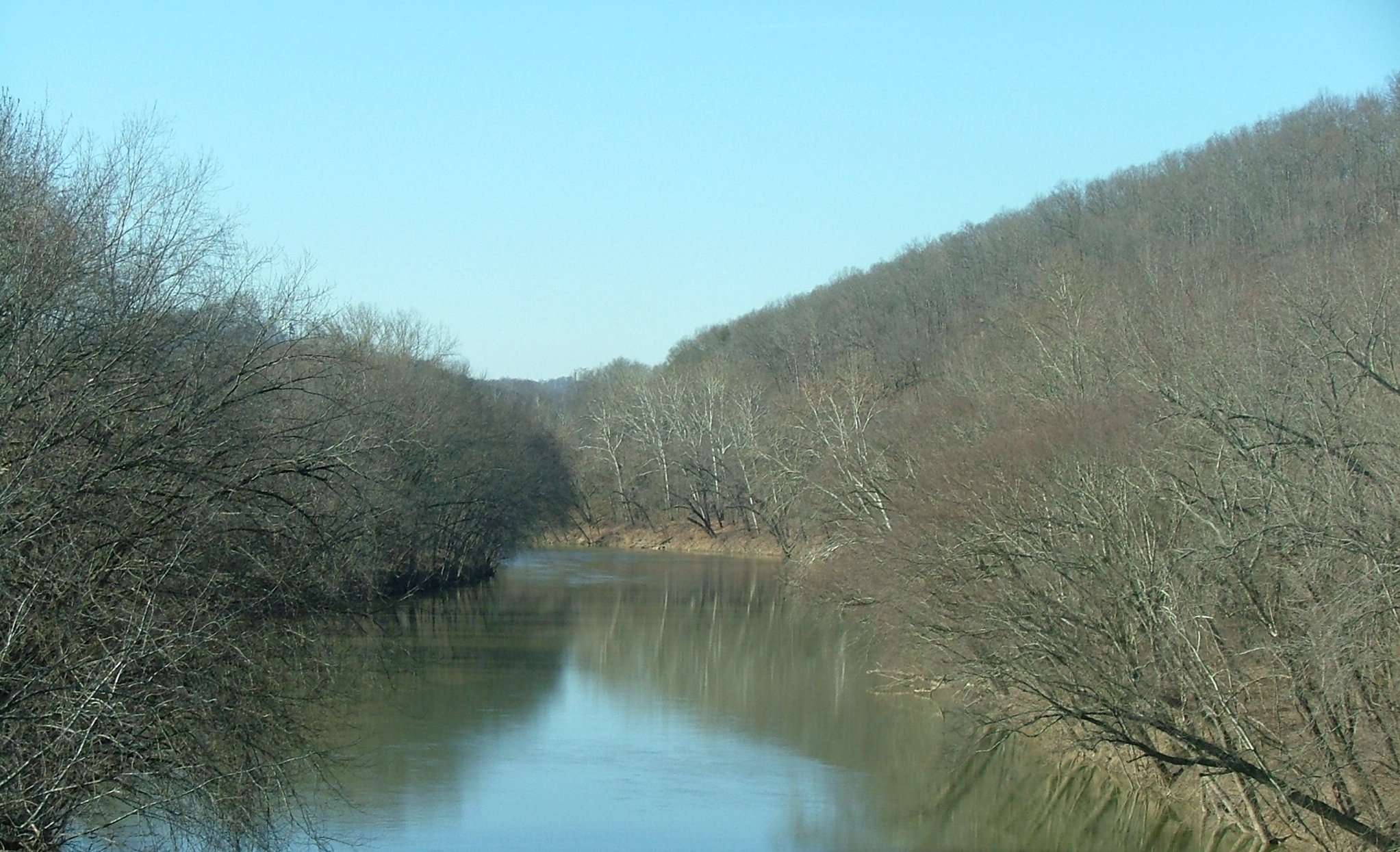
The Big Sandy River is a tributary of the Ohio River, approximately 29 miles (47 km) long,[7] in western West Virginia and northeastern Kentucky in the United States. The river forms part of the boundary between the two states along its entire course. Via the Ohio River, it is part of the Mississippi River watershed.
| Big Sandy River | |
|---|---|
 Confluence of Levisa Fork and Tug Fork, forming the Big Sandy River | |
 Map of the Big Sandy River watershed, with its Levisa Fork (left) and Tug Fork (right) tributaries shown | |
| Location | |
| Country | United States |
| State | Kentucky, West Virginia |
| Counties | Lawrence KY, Wayne WV, Boyd KY |
| Physical characteristics | |
| Source | Tug Fork |
| • location | Big Stone Ridge, McDowell County, WV |
| • coordinates | 37°16′38″N 81°26′06″W[1] |
| • elevation | 2,604 ft (794 m)[2] |
| 2nd source | Levisa Fork |
| • location | Gap of Sandy, Buchanan County, VA |
| • coordinates | 37°09′06″N 81°54′04″W |
| • elevation | 2,657 ft (810 m)[3] |
| Source confluence | |
| • location | Louisa, KY |
| • coordinates | 38°07′05″N 82°36′06″W |
| • elevation | 545 ft (166 m) |
| Mouth | Ohio River[4] |
• location | Catlettsburg, KY |
• coordinates | 38°24′58″N 82°35′45″W |
• elevation | 525 ft (160 m) |
| Length | 29 mi (47 km) |
| Basin size | 4,280 sq mi (11,100 km2)[5] |
| Discharge | |
| • location | mouth |
| • average | 5,006.74 cu ft/s (141.775 m3/s) (estimate)[6] |

It is formed between Louisa, Kentucky, and Fort Gay, West Virginia, by the confluence of the Tug Fork and Levisa Fork. It flows generally northwardly in a highly meandering course, between Lawrence and Boyd counties in Kentucky and Wayne County in West Virginia. It joins the Ohio between Catlettsburg, Kentucky and Kenova, West Virginia, 8 miles (13 km) west of Huntington, West Virginia, at the common boundary between West Virginia, Kentucky, and Ohio.
The river is navigable and carries commercial shipping, primarily coal mined in the immediate region.
The name of the river comes from the presence of extensive sand bars. The Native American names for the river included Tatteroa, Chatteroi, and Chatterwha.[8] The name "Big Sandy" was in use no later than February, 1789.[9] The tombstone of David White, an early settler along the river in Kentucky, marks his passing in 1817 with the note that he lived many years near the Mouth of the Big Sandy.[10]
Two well-known fiddle tunes take their name from the Big Sandy River: "Sandy River Belle" and the "Big Sandy River". Loretta Lynn's "Van Lear Rose" and Dwight Yoakam's "Bury Me" also mention the river.
The river also plays a major role in the Hatfield-McCoy feud.
Some Native American Tribes have links to the area and region, like the Tutelo, Issa, Cherokee and others.
Martin County sludge spill
On October 11, 2000, the Martin County sludge spill polluted hundreds of miles of the Ohio River, the Big Sandy River and its tributaries. The accident was caused when a coal sludge impoundment owned by Massey Energy in Kentucky broke into an abandoned underground mine below. Toxic pollutants including heavy metals such as mercury, lead, arsenic, copper and chromium were found in the sludge that spilled into these waterways.[11]
The spill was 30 times larger than the Exxon Valdez oil spill (12 million US gallons (45,000 m3)) and one of the worst environmental disasters ever in the southeastern United States, according to the U.S. Environmental Protection Agency.
See also
- List of Kentucky rivers
- List of West Virginia rivers
- Little Sandy River
- Port of Huntington Tri-State
References
- "Tug Fork". Geographic Names Information System. United States Geological Survey, United States Department of the Interior. Retrieved 2004-04-24.
- "Tug Fork Source". Elevation Query. U.S. Geological Survey. Retrieved 2008-04-24.[permanent dead link]
- "Levisa Fork Source". Elevation Query. U.S. Geological Survey. Retrieved 2009-07-18.[permanent dead link]
- "Big Sandy River". Geographic Names Information System. United States Geological Survey, United States Department of the Interior. 1979-09-20. Retrieved 2009-07-18.
- "Tributaries". www.orsanco.org.
- United States Environmental Protection Agency. "Watershed Report: [Big Sandy River]". watersgeo.epa.gov. Archived from the original on 2021-07-03. Retrieved 2021-07-03.
- U.S. Geological Survey. National Hydrography Dataset high-resolution flowline data. The National Map Archived 2012-03-29 at the Wayback Machine, accessed June 13, 2011
- Bright, William (2004). Native American Placenames of the United States. Norman, Oklahoma: University of Oklahoma Press. p. 89. ISBN 0-8061-3598-0.
- Ely, William (1887). The Big Sandy Valley: A History of the People and Country from the Earliest Settlement to the Present Time (Google eBook). Central Methodist. p. 11.
- [thebookplace.org/genealogy/databases/], Retrieved 2013-7-19
- [news.google.com/newspapers?id=cboeAAAAIBAJ&sjid=-M8EAAAAIBAJ&pg=6918,1660633&dq=martin+county+sludge+spill&hl=en Spartanburg Herald-Journal], Retrieved 2011-1-29.
External links
Authority control | |
|---|---|
| National libraries | |
| Other | |
На других языках
[de] Big Sandy River (Ohio River)
Der Big Sandy River ist ein Zufluss des Ohio River und verläuft auf der Grenze zwischen den Bundesstaaten West Virginia und Kentucky.- [en] Big Sandy River (Ohio River tributary)
[ru] Биг-Сэнди (приток Огайо)
Биг-Сэнди (англ. Big Sandy River) — река на границе штатов Западная Виргиния и Кентукки, США. Левый приток реки Огайо. Длина составляет 47 км[1]; средний расход воды — около 126 м³/с.Другой контент может иметь иную лицензию. Перед использованием материалов сайта WikiSort.org внимательно изучите правила лицензирования конкретных элементов наполнения сайта.
WikiSort.org - проект по пересортировке и дополнению контента Википедии