geo.wikisort.org - River
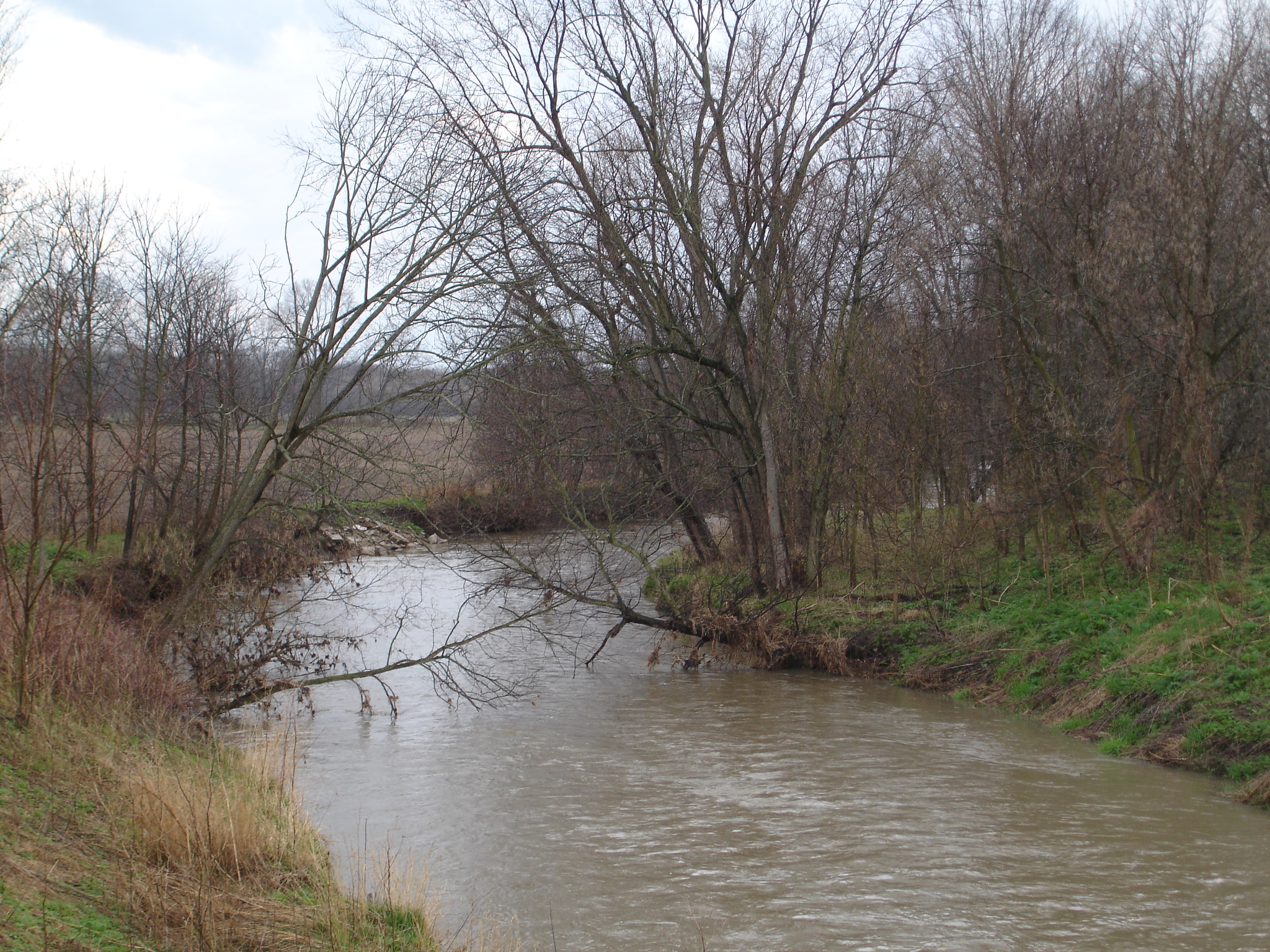
The Big Blue River is an 83.8-mile-long (134.9 km)[1] tributary of the Driftwood River in east-central Indiana in the United States. Via the Driftwood, White, Wabash and Ohio rivers, it is part of the watershed of the Mississippi River.
Course
The Big Blue rises in northeastern Henry County and flows generally southwestwardly through Rush, Hancock, Shelby and Johnson counties, past the towns of New Castle, Knightstown, Carthage, Morristown, Shelbyville and Edinburgh. It joins Sugar Creek to form the Driftwood River 1 mile (1.6 km) west of Edinburgh. At Shelbyville, it collects the Little Blue River.
At the USGS station at Shelbyville, Indiana, the Big Blue River has an approximate discharge of 513 cubic feet per second.[2]
See also
- List of Indiana rivers
- County Line Bridge (Morristown, Indiana)
References
- U.S. Geological Survey. National Hydrography Dataset high-resolution flowline data. The National Map Archived 2012-03-29 at the Wayback Machine, accessed May 19, 2011
- "USGS Current Conditions for USGS 03361500 BIG BLUE RIVER AT SHELBYVILLE, IN".
- Columbia Gazetteer of North America entry
- DeLorme (1998). Indiana Atlas & Gazetteer. Yarmouth, Maine: DeLorme. ISBN 0-89933-211-0.
- U.S. Geological Survey Geographic Names Information System: Big Blue River
Authority control | |
|---|---|
| General |
|
| National libraries | |
На других языках
[de] Big Blue River (Driftwood River)
Der Big Blue River (englisch für „großer blauer Fluss“) ist der linke Quellfluss des Driftwood River im US-Bundesstaat Indiana. Der etwa 135 km lange Fluss entwässert ein Areal von 1552 km².- [en] Big Blue River (Indiana)
Текст в блоке "Читать" взят с сайта "Википедия" и доступен по лицензии Creative Commons Attribution-ShareAlike; в отдельных случаях могут действовать дополнительные условия.
Другой контент может иметь иную лицензию. Перед использованием материалов сайта WikiSort.org внимательно изучите правила лицензирования конкретных элементов наполнения сайта.
Другой контент может иметь иную лицензию. Перед использованием материалов сайта WikiSort.org внимательно изучите правила лицензирования конкретных элементов наполнения сайта.
2019-2026
WikiSort.org - проект по пересортировке и дополнению контента Википедии
WikiSort.org - проект по пересортировке и дополнению контента Википедии