geo.wikisort.org - River
The Biber is a right tributary of the Danube in Bavaria, Germany. The source of the Biber is in the south of the hamlet Matzenhofen in Unterroth. The river is 37.3 kilometres (23.2 mi) long.
| Biber | |
|---|---|
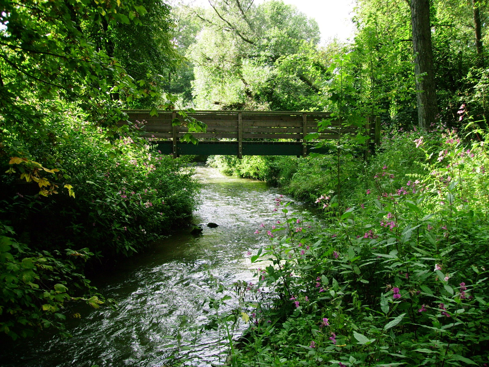 Biber in the east of Nersingen | |
| Location | |
| Country | Germany |
| State | Bavaria |
| Physical characteristics | |
| Mouth | |
• location | Danube |
• coordinates | 48.4392°N 10.1811°E |
| Length | 37.3 km (23.2 mi) [1] |
| Basin size | 114 km2 (44 sq mi) [1] |
| Basin features | |
| Progression | Danube→ Black Sea |
First the Biber crosses the forest of Oberroth. Then the river flows west along the monastery of Roggenburg. Afterwards the river flows through several hamlets and the forest Auwald, into the Danube.
See also
References
- Complete table of the Bavarian Waterbody Register by the Bavarian State Office for the Environment (xls, 10.3 MB)
| Authority control |
|
|---|
На других языках
[de] Biber (Donau)
Die Biber ist ein 36,8 Kilometer langer und rechter Nebenfluss der Donau in Bayern.- [en] Biber (Danube)
[ru] Бибер (приток Дуная)
Бибер (нем. Biber, в верховье Biberbach) — река в Германии, протекает по земле Бавария, правый приток Дуная. Речной индекс 1156[1]. Площадь бассейна реки составляет 113,60 км²[1]. Общая длина реки 37,28 км[1]. Высота истока 595 м[2]. Высота устья 446 м[3].Текст в блоке "Читать" взят с сайта "Википедия" и доступен по лицензии Creative Commons Attribution-ShareAlike; в отдельных случаях могут действовать дополнительные условия.
Другой контент может иметь иную лицензию. Перед использованием материалов сайта WikiSort.org внимательно изучите правила лицензирования конкретных элементов наполнения сайта.
Другой контент может иметь иную лицензию. Перед использованием материалов сайта WikiSort.org внимательно изучите правила лицензирования конкретных элементов наполнения сайта.
2019-2026
WikiSort.org - проект по пересортировке и дополнению контента Википедии
WikiSort.org - проект по пересортировке и дополнению контента Википедии