geo.wikisort.org - River
The Belait River (Malay: Sungai Belait) is a river in Belait District, Brunei. It is the longest of the four main rivers in the country.[1]
| Belait River | |
|---|---|
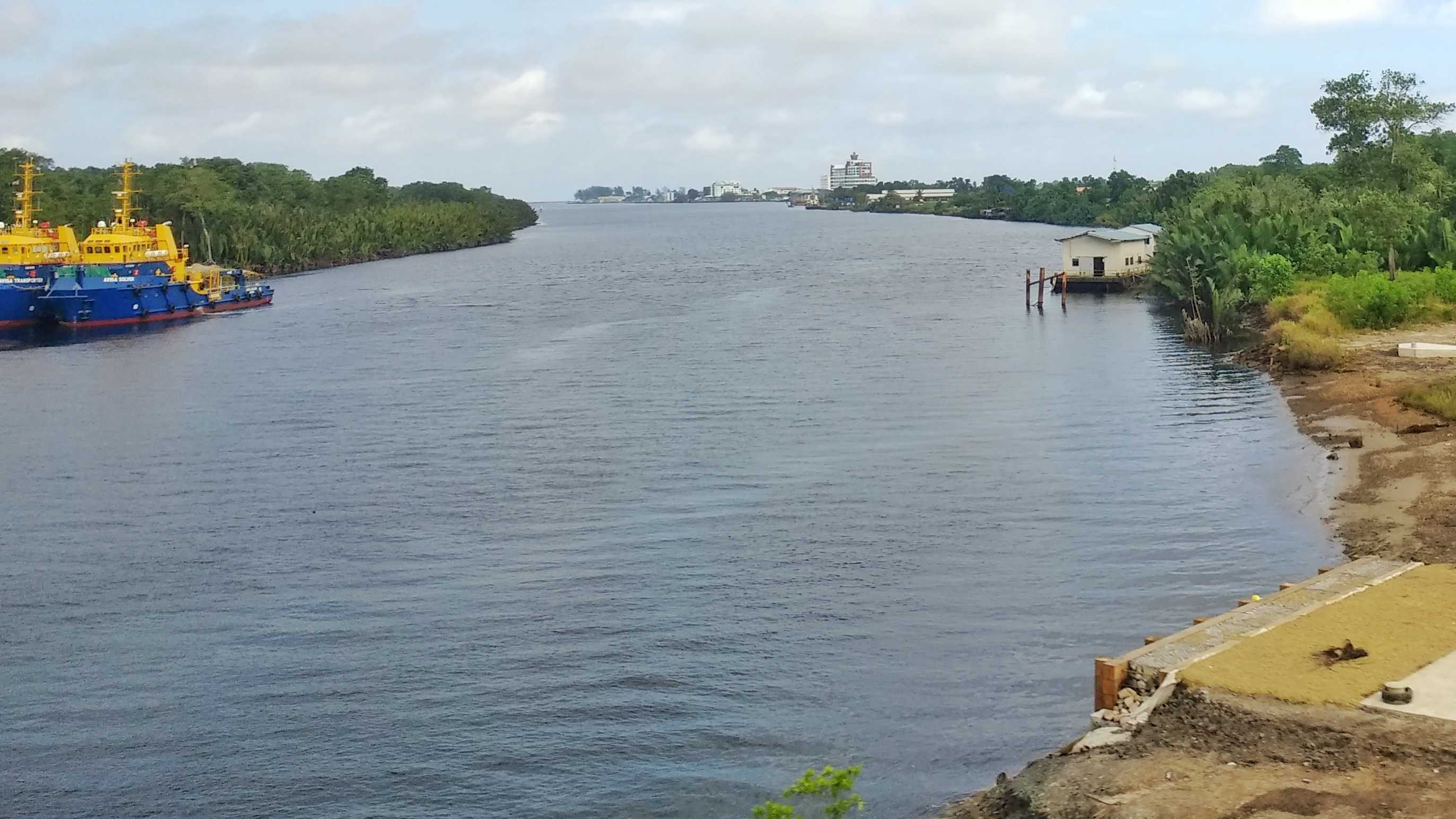 View of Belait River from Rasau bypass | |
| Native name | Sungai Belait |
| Location | |
| Country | Brunei |
| District | Belait |
| Physical characteristics | |
| Mouth | |
• location | Kuala Belait, Belait, Brunei |
• coordinates | 4.5966693°N 114.1769489°E |
• elevation | 5 m (16 ft) |
| Length | 206 km (128 mi) |
| Basin features | |
| Tributaries | |
| • left | Mendaram, Damit |
| • right | Pali Bangun |
History
During World War II from 1941 onwards, the whole of Brunei was under Japanese occupation until 1945.[2]
On 26 May 1979, Borneo's only floating drydock arrived in Belait River.[3] After being towed from Melbourne by a Japanese tug for 50 days, the 1943 Australian built drydock, formerly named AD 1001, was acquired by the Kuala Belait Shipyard.[4][5][6]
Sites
Kuala Belait is one of the largest human settlements in the district in which the river passes through,[3] while on the west bank lies the Kampong Sungai Teraban and Kampong Rasau.[7] Going upstream will lead to Mukim Kuala Balai.[8]
Some of Brunei's historical sites are located along the river banks, which included the Menara Cendera Kenangan, a monument in celebration of His Majesty's 50th birthday.[9]
Kuala Belait port is one of the three existing ports in Brunei and it's operated by Brunei Shell.[10] A smaller shallow commercial jetty and a marine shipyard lies south of the main port in Kampong Sungai Duhon.
See also
- List of rivers of Brunei
- Kuala Belait
References
- "BRUNEI – BELAIT DISTRICT". Borneo Tour Specialist. Retrieved 26 April 2022.
- Hays, Jeffrey. "LATER HISTORY OF BRUNEI | Facts and Details". factsanddetails.com. Retrieved 27 April 2022.
- "Kuala Belait History, History of Kuala Belait, Kuala Belait City Information :: Traveltill.com". Traveltill. Retrieved 26 April 2022.
- gp (4 May 2019). "Lest We Forget » Borneo Bulletin Online". Lest We Forget. Retrieved 26 April 2022.
- Ocean Industry. Gulf Publishing Company. 1983. p. 139.
- "Darwin's Floating Dry-Dock - Page 3 of 3". Naval Historical Society of Australia. 15 December 2002. Retrieved 27 April 2022.
- "www.bsp.com.bn - History of Oil and Gas". 15 May 2007. Archived from the original on 15 May 2007. Retrieved 26 April 2022.
- "Kuala Belait, the Oil Capital". Kuala Belait, the Oil Capital. Retrieved 27 April 2022.
- activ8bn. "Menara Cendera Kenangan". Brunei Tourism. Retrieved 26 April 2022.
- "Kuala Belait Port". SHIPNEXT. Retrieved 26 April 2022.
На других языках
[de] Belait (Fluss)
Der Belait (mal.:Sungai Belait) ist der längste Fluss in Brunei. Er entspringt im Dreiländereck der beiden Distrikte Belait und Tutong mit Malaysia und hat eine Länge von 209 Kilometern. Sein Einzugsgebiet von 2.700 km² umfasst praktisch den Distrikt Belait, der auch nach ihm benannt ist.[1][3] Er mündet in der Distrikt-Hauptstadt Kuala Belait als kaffeefarbener Schwarzwasserfluss in das Südchinesische Meer.- [en] Belait River
Другой контент может иметь иную лицензию. Перед использованием материалов сайта WikiSort.org внимательно изучите правила лицензирования конкретных элементов наполнения сайта.
WikiSort.org - проект по пересортировке и дополнению контента Википедии