geo.wikisort.org - River
The Bandeira Waterfall (Portuguese: Cascata Bandeira, Tetum: Be Tuda Bandera) is a tall waterfall in the municipality of Ermera, East Timor. It forms part of a minor tributary of the Loes River.
| Bandeira Waterfall | |
|---|---|
| |
 The waterfall in 2015 | |
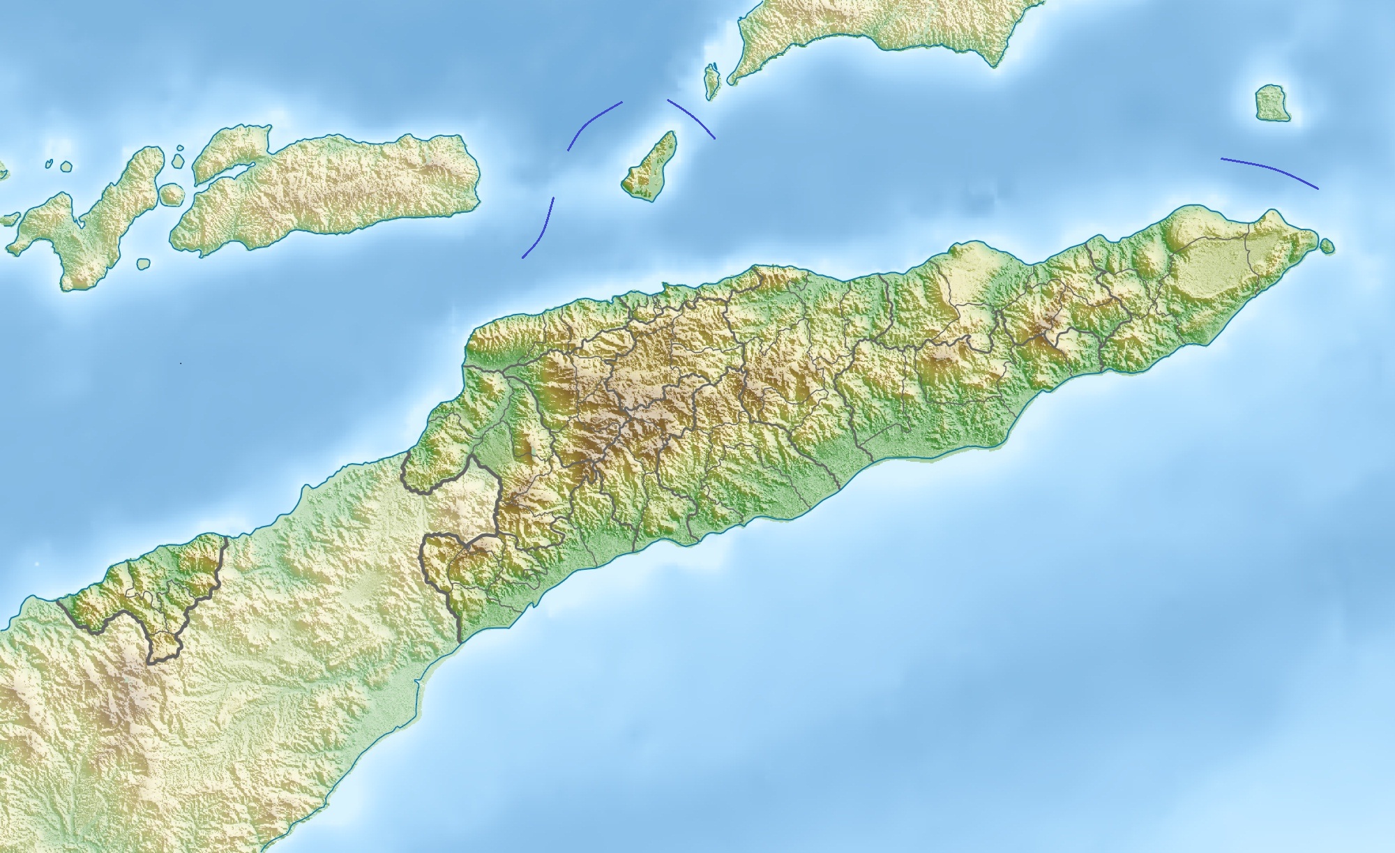 Location of waterfall | |
| Location | Baboi Craic, Atsabe, Ermera, East Timor |
| Coordinates | 8°55′09″S 125°25′44″E |
| Watercourse | Bandeira River |
Geography
The waterfall is located just to the east of the Letefoho–Atsabe road near Atsabe in the Ermera municipality.[1][2][3] The tallest waterfall in East Timor,[2][4] it has been described as "é de registar"[1] (transl. worth noting), and as "... an impressive sight in the wet season."[2]
At the waterfall, the Bandeira River (Portuguese: Rio Bandeira, Tetum: Mota Bandera)[3] flows over a vertical cliff.[5]
The river then feeds into the Magapu River,[6] which is a tributary of the Loes River, and, at that point, marks the border between the sucos of Baboi Leten (to its north) and Baboi Craic (to its south).[7]: 12, 13
Economy
The waterfall has been identified as having geotourism potential,[8] and the river as being a hydrological resource with tourism potential.[9]
See also
References
- "Estrutura Geográfico-Económica de Timor" [Timor's Geographical-Economic Structure]. Boletim Trimestral (in Portuguese) (74): 40. 1968. ISSN 0005-4887. OCLC 2488197. Retrieved 13 April 2022.
- "Ermera". Tourism Timor-Leste. 23 August 2016. Retrieved 13 April 2022.
- "Mota Bandera, Ermera, Timor Leste". Mindat.org. Retrieved 13 April 2022.
- "Welcome to Atsabe". Karst Organics. 9 April 2018. Retrieved 13 April 2022.
- "Wonders of Timor-Leste". Wondermondo. 22 May 2011. Retrieved 13 April 2022.
- República Democrática de Timor-Leste: Ermera [Democratic Republic of Timor-Leste: Ermera] (PDF) (Map). 1:75000 (in Portuguese). Cartography by Instituto Superior Técnico. Lisbon: Timor-Leste GIS Portal. Archived from the original (PDF) on 30 June 2007. Retrieved 20 July 2022.
- Município Ermera: Esboços Mapa Suco no Aldeia Timor-Leste (PDF) (in Tetum). Dili: Ministério das Finanças / Direcção Geral de Estatística / Direcção Nacional Cartografia Estatísticas. 2019. p. 74. Archived from the original (PDF) on 19 November 2020. Retrieved 10 April 2022.
- Manuel, Delio; Faria, Mafaldo Jose (October 2018). Preliminary Identification of Geotourism Potential: Tourist Zones of Eastern, Central and Western Part of Timor-Leste (Lautem, Baucau, Dili, Ainaro, Ermera and Bobonaro Municipality). 4th International Conference on Timor Leste Geological Resources Data and Information for Economic Diversification and Development. Dili: Academia.edu. pp. 4, 6.
- Silveira, Joaquim Pereira de (July 2016). O turismo de mergulho em Timor-Leste: as potencialidades do património subaquático como motor de desenvolvimento – o caso de Díli [Diving tourism in Timor-Leste: the potential of underwater heritage as a development engine – the case of Dili] (Master of Tourism thesis) (in Portuguese). University of Porto. p. 59. Retrieved 14 April 2022.
External links
![]() Media related to Bandeira Waterfall at Wikimedia Commons
Media related to Bandeira Waterfall at Wikimedia Commons
Другой контент может иметь иную лицензию. Перед использованием материалов сайта WikiSort.org внимательно изучите правила лицензирования конкретных элементов наполнения сайта.
WikiSort.org - проект по пересортировке и дополнению контента Википедии