geo.wikisort.org - River
The Attert (French pronunciation: [atɛʁt], German pronunciation: [ˈatɐt]; Luxembourgish: Atert) is a river flowing through Belgium and Luxembourg, left tributary of the Alzette. Its length is 38 kilometres (24 mi), of which 32 kilometres (20 mi) are in Luxembourg and 6 kilometres (4 mi) in Belgium. Its source is in Nobressart, north-west of Arlon, in the Belgian province Luxembourg. It flows into the river Alzette at Colmar-Berg. It flows through the village of Attert in Belgium, and the towns of Redange, Useldange, Boevange-sur-Attert, and Bissen in Luxembourg.
Wikimedia Commons has media related to Attert River.
This article does not cite any sources. (December 2009) |
| Attert | |
|---|---|
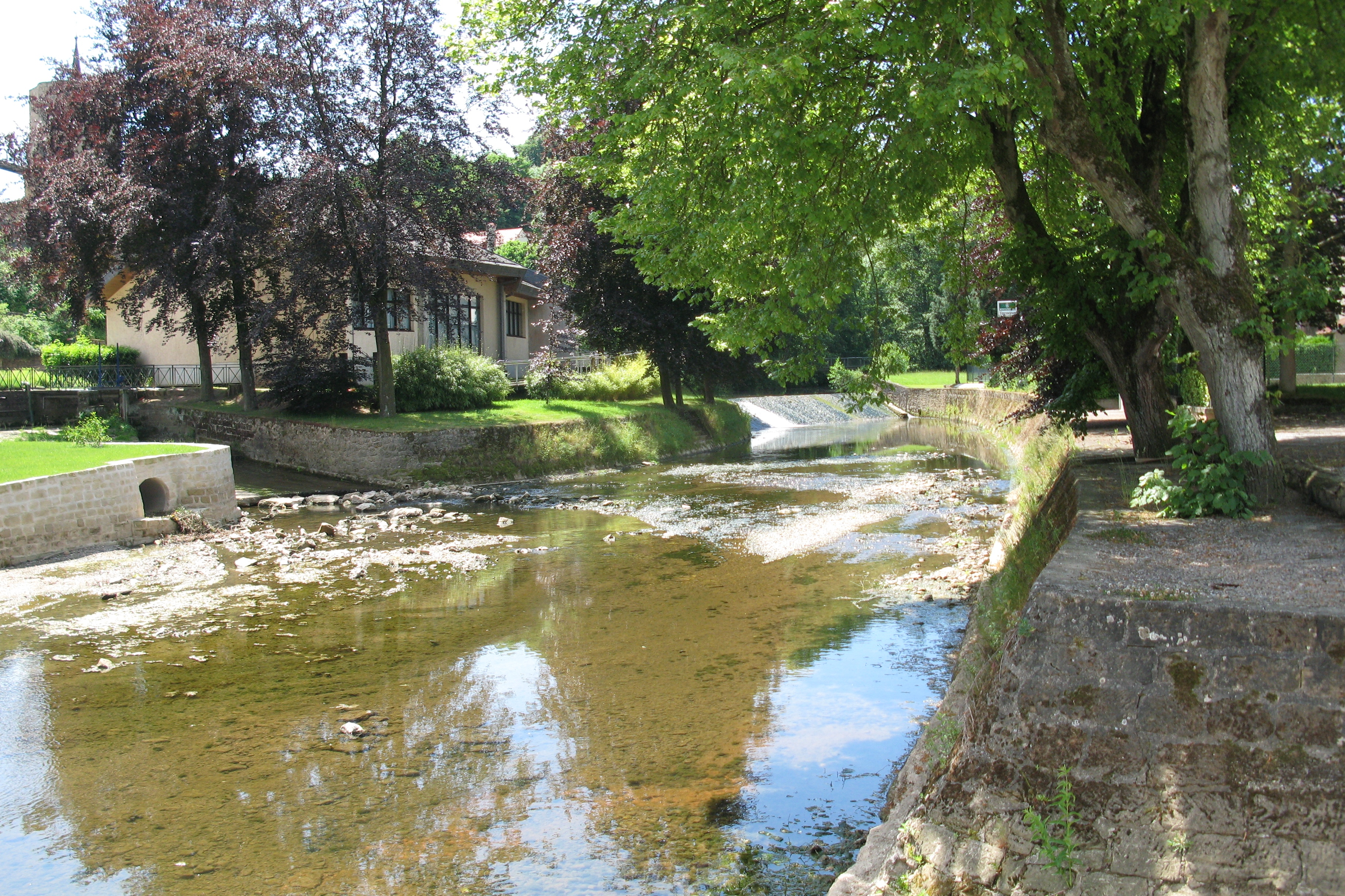 The Attert in Useldange | |
 | |
| Location | |
| Country | Belgium, Luxembourg |
| Physical characteristics | |
| Source | |
| • location | Thiaumont, Attert |
| • elevation | 406 m (1,332 ft) |
| Mouth | |
• location | Colmar-Berg |
• coordinates | 49°48′54″N 6°05′46″E |
| Length | 38 km (24 mi) |
| Basin size | 299 km2 (115 sq mi) |
| Basin features | |
| Progression | Alzette→ Sauer→ Moselle→ Rhine→ North Sea |
This Belgian Luxembourg location article is a stub. You can help Wikipedia by expanding it. |
На других языках
[de] Attert (Fluss)
Die Attert (luxemb. Atert) ist ein 38 Kilometer langer Fluss, der im südöstlichen Belgien entspringt, aber großteils durch Luxemburg fließt. Er hat ein Einzugsgebiet von ca. 299 km².- [en] Attert (river)
[ru] Аттерт
Аттерт (люксемб. Atert, фр. Attert, нем. Attert) — река, протекающая по Бельгии и Люксембургу. Длина реки составляет около 38 км, из которых 30,5 км на территории Люксембурга. Площадь бассейна около 299 км².Текст в блоке "Читать" взят с сайта "Википедия" и доступен по лицензии Creative Commons Attribution-ShareAlike; в отдельных случаях могут действовать дополнительные условия.
Другой контент может иметь иную лицензию. Перед использованием материалов сайта WikiSort.org внимательно изучите правила лицензирования конкретных элементов наполнения сайта.
Другой контент может иметь иную лицензию. Перед использованием материалов сайта WikiSort.org внимательно изучите правила лицензирования конкретных элементов наполнения сайта.
2019-2026
WikiSort.org - проект по пересортировке и дополнению контента Википедии
WikiSort.org - проект по пересортировке и дополнению контента Википедии