geo.wikisort.org - River
The Asse (Assa in Occitan) is a 76.3-kilometre (47.4 mi) long river in the Alpes-de-Haute-Provence département, southeastern France.[1] Its source is several small streams which converge at Tartonne, 12 kilometres (7 mi) east of Digne-les-Bains. It flows generally southwest. It is a left tributary of the Durance into which it flows between Valensole and Oraison, 9 kilometres (6 mi) northeast of Manosque. Its drainage basin is 657 km2 (254 sq mi).[2]
| Asse | |
|---|---|
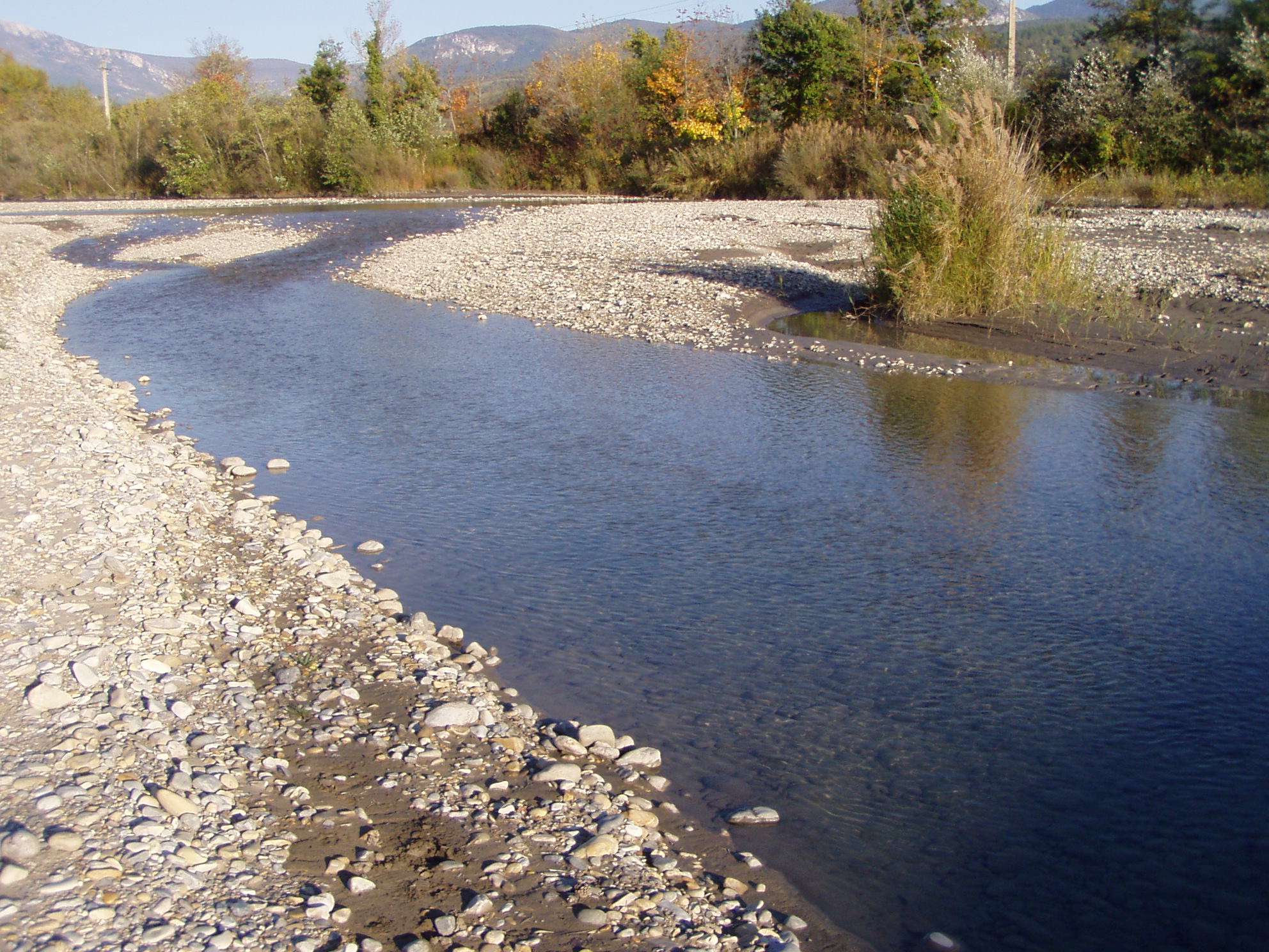 The Asse at Bras-d'Asse. | |
  | |
| Location | |
| Country | France |
| Physical characteristics | |
| Source | |
| • location | Tartonne |
| • coordinates | 44°06′09″N 06°22′44″E |
| • elevation | 1,350 m (4,430 ft) |
| Mouth | |
• location | Durance |
• coordinates | 43°52′28″N 05°52′43″E |
• elevation | 320 m (1,050 ft) |
| Length | 76.3 km (47.4 mi) |
| Basin size | 657 km2 (254 sq mi) |
| Discharge | |
| • average | 5 m3/s (180 cu ft/s) |
| Basin features | |
| Progression | Durance→ Rhône→ Mediterranean Sea |
The Asse is called "Asse de Clumanc" between its source and its confluence with the "Asse de Blieux" and the "Asse de Moriez" at Barrême. The valleys of the Asse and its tributaries are protected as a Natura 2000 site.[3]
Part of the Asse valley is used by the route Napoléon.
Communes along its course
This list is ordered from source to mouth: Tartonne, Clumanc, Saint-Lions, Barrême, Chaudon-Norante, Beynes, Entrages, Châteauredon, Mézel, Estoublon, Bras-d'Asse, Saint-Julien-d'Asse, Brunet, Le Castellet, Valensole, Oraison
References
- Sandre. "Fiche cours d'eau - L'Asse (X14-0400)".
- Bassin versant : Asse (L'), Observatoire Régional Eau et Milieux Aquatiques en PACA
- "FR9301533 - L'Asse". Inventaire national du patrimoine naturel. Retrieved 18 November 2021.
| Wikimedia Commons has media related to Asse. |
Authority control | |
|---|---|
| General |
|
| National libraries | |
| Other |
|
This Alpes-de-Haute-Provence geographical article is a stub. You can help Wikipedia by expanding it. |
На других языках
[de] Asse (Durance)
Die Asse (im Oberlauf: Asse de Clumanc) ist ein Fluss in Frankreich, der im Département Alpes-de-Haute-Provence in der Region Provence-Alpes-Côte d’Azur verläuft. Sie entspringt in den Provenzalischen Alpen östlich von Digne-les-Bains, im Gemeindegebiet von Tartonne, an der Bergkette Crête du Pré de l’Évêque, entwässert anfangs in südlicher Richtung und nimmt bei Barrême ihre Nebenflüsse Asse de Moriez und Asse de Blieux auf. Dann wendet sie sich gegen Nordwest, schwenkt später auf Südwest und durchquert die Hochebene von Valensole. Hier bildet sie streckenweise auch die Nordgrenze des Regionalen Naturpark Verdon. Schließlich mündet die Asse nach insgesamt rund 76[2] Kilometern an der Gemeindegrenze von Oraison und Valensole als linker Nebenfluss in einen Seitenarm der Durance.- [en] Asse (river)
[it] Asse (fiume)
L'Asse è un fiume della Francia che scorre interamente nella regione Provence-Alpes-Côte d'Azur, nel dipartimento delle Alpi dell'Alta Provenza. Sfocia nella Durance, dopo un percorso di 75 km circa.Другой контент может иметь иную лицензию. Перед использованием материалов сайта WikiSort.org внимательно изучите правила лицензирования конкретных элементов наполнения сайта.
WikiSort.org - проект по пересортировке и дополнению контента Википедии