geo.wikisort.org - River
The Arros (French pronunciation: [aʁɔs]; Occitan: Arròs) is a right tributary of the Adour, in the Southwest of France. It is 130.2 km (80.9 mi) long.[1]
| Arros | |
|---|---|
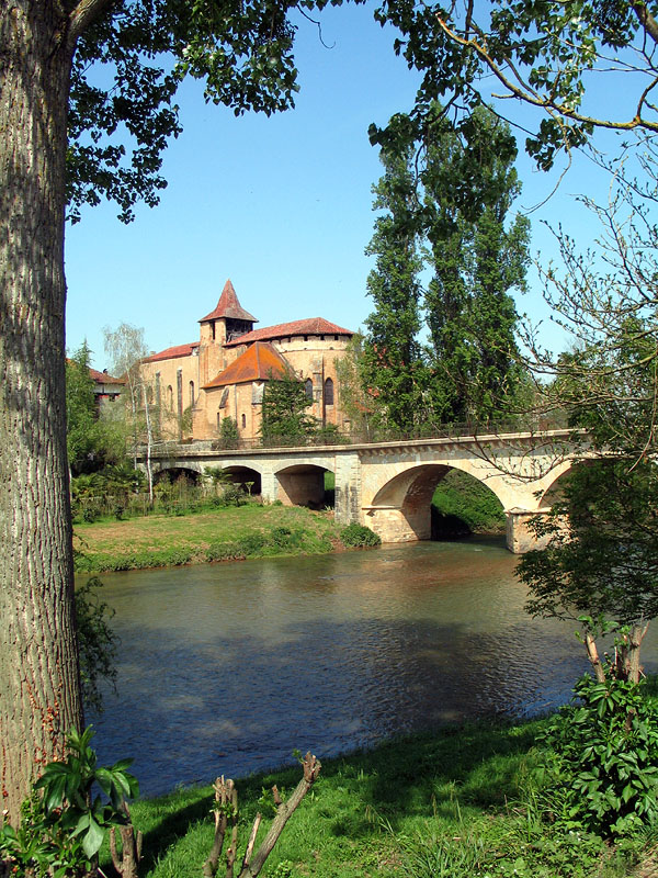 The Arros in Saint-Sever-de-Rustan | |
  | |
| Location | |
| Country | France |
| Physical characteristics | |
| Source | |
| • location | Baronnies of Pyrenees |
| Mouth | |
• location | Adour |
• coordinates | 43°39′44″N 0°1′41″W |
| Length | 130 km (81 mi) |
| Basin size | 947 km2 (366 sq mi) |
| Discharge | |
| • average | 9 m3/s (320 cu ft/s) |
| Basin features | |
| Progression | Adour→ Atlantic Ocean |
Name
The name Arros is based on the root Arr- 'stone' and the suffix -os.
Geography
The Arros rises in the Baronnies of Pyrenees, southeast of Bagnères-de-Bigorre, below the Signal de Bassia (1 921 m).
It flows north through a narrow valley defended by the castle of Mauvezin and the bastide of Tournay. It joins the Adour before it turn west, upstream from Riscle.
Départements and towns
- Hautes-Pyrénées: Bourg-de-Bigorre, Tournay, Chelle-Debat
- Gers: Montégut-Arros, Villecomtal-sur-Arros, Plaisance.
Main tributaries
- (L) Esqueda, from Banios
- (L) Luz, from Lies
- (L) Arredou, in Tournay
- (L) Arret Daban or Arret Devant,
- (L) Arret Darré, in Gonez
- (R) Bouès, from Capvern
References
| Authority control |
|
|---|
На других языках
[de] Arros (Fluss)
Der Arros ist ein Fluss in Frankreich, der in der Region Okzitanien verläuft. Er entspringt im Gemeindegebiet von Esparros, beim Oueil de l’Arros, entwässert generell in nördlicher Richtung und mündet nach rund 130 Kilometern im Gemeindegebiet von Termes-d’Armagnac als rechter Nebenfluss in den Adour. Auf seinem Weg durchquert er die Départements Hautes-Pyrénées und Gers, sowie die historische Provinz Bigorre.- [en] Arros (river)
[it] Arros
LꞌArros è un fiume francese che scorre nei dipartimenti degli Alti Pirenei e del Gers (Occitania), nellꞌantica regione dei Midi-Pirenei.Текст в блоке "Читать" взят с сайта "Википедия" и доступен по лицензии Creative Commons Attribution-ShareAlike; в отдельных случаях могут действовать дополнительные условия.
Другой контент может иметь иную лицензию. Перед использованием материалов сайта WikiSort.org внимательно изучите правила лицензирования конкретных элементов наполнения сайта.
Другой контент может иметь иную лицензию. Перед использованием материалов сайта WikiSort.org внимательно изучите правила лицензирования конкретных элементов наполнения сайта.
2019-2026
WikiSort.org - проект по пересортировке и дополнению контента Википедии
WikiSort.org - проект по пересортировке и дополнению контента Википедии