geo.wikisort.org - River
The Alibori River is a river in the northeastern part of Benin. It rises near the village of Tobré in Atakora Department and flows northeast, ultimately emptying into the Niger River near Birni-Lafia.[1][2] In Alibori Department it forms the eastern border of the communes of Banikoara and Karimama, as well the eastern boundary of W Transborder Park. The Pako River is one of its tributaries. It is populated with crocodiles.[3]
| Alibori River | |
|---|---|
 North Benin with the Alibori in the Center | |
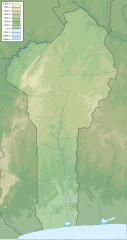 Location of mouth in Benin | |
| Location | |
| Country | Benin |
| Physical characteristics | |
| Mouth | |
• coordinates | 11.933°N 3.291°E |
| Basin features | |
| River system | Niger River |
References
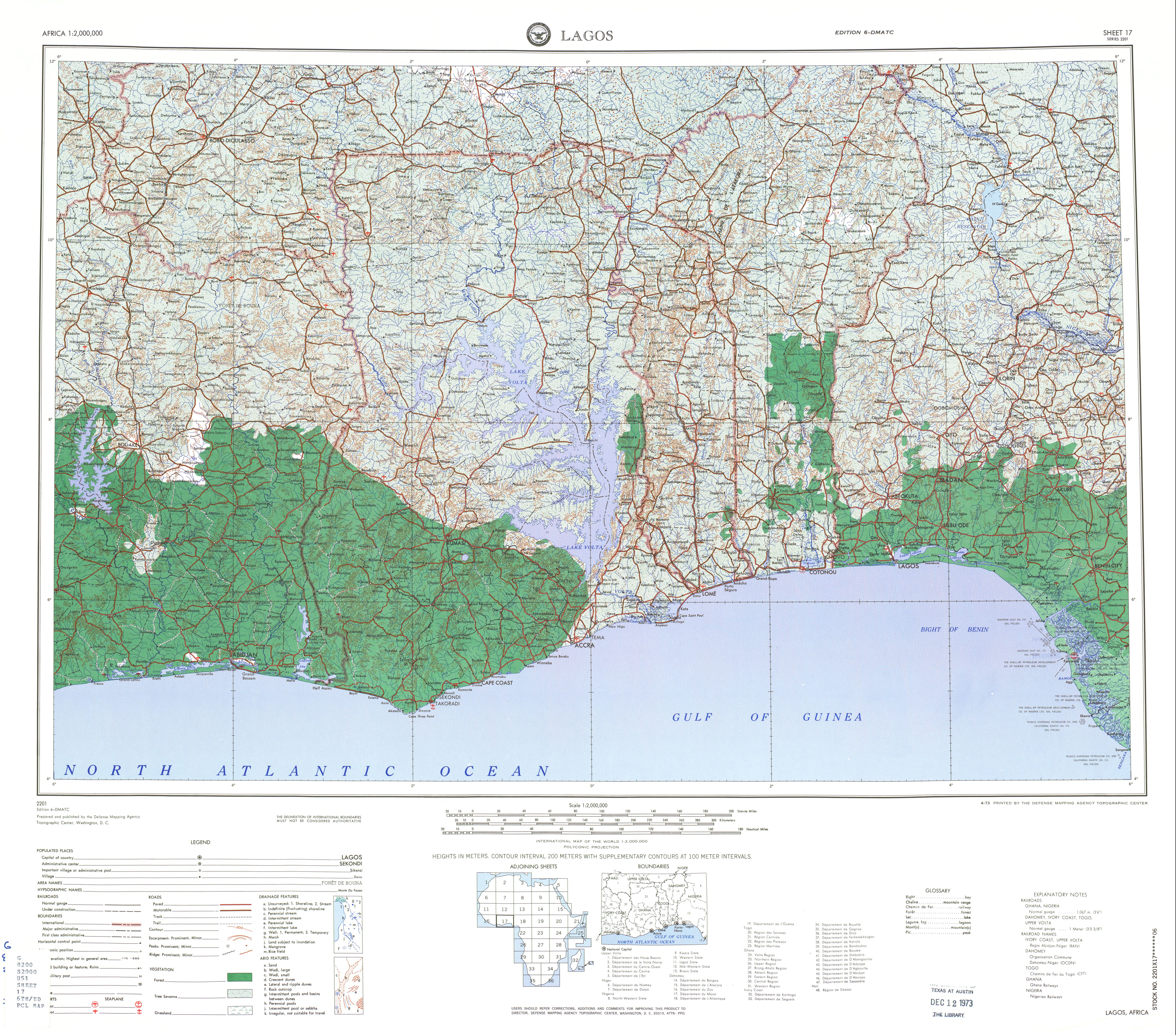
- Sheet 17: Lagos (Map). 1:2,000,000. Series 2201. Defense Mapping Agency Topographic Center. April 1973.
- Rand McNally, The New International Atlas, 1993.
- International Union for Conservation of Nature and Natural Resources. Crocodile Specialist Group. Working Meeting (1982). Crocodiles: Proceedings of the 5th Working Meeting of the Crocodile Specialist Group of the Species Survival Commission of the International Union for Conservation of Nature and Natural Resources Convened at the Florida State Museum, Gainesville, Florida, U.S.A., 12 to 16 August 1980. IUCN. p. 193. ISBN 978-2-88032-209-0. Retrieved 30 April 2012.
| Authority control |
|
|---|
На других языках
[de] Alibori (Fluss)
Der Alibori ist ein rechter Nebenfluss des Niger in Benin. Nach ihm ist das Département Alibori benannt.- [en] Alibori River
[ru] Алибори (река)
Алибори[1][2] (Алиборе[3], фр. Alibori) — частично пересыхающая в сухой сезон река на севере Бенина, правый приток Нигера[1]. Берёт исток у Тобре[en] (коммуна Пехонко[en]) к юго-западу от Синенде[4][5], у точки, где сходятся границы департаментов Атакора, Боргу и Донга. Течёт на север. Пересекает магистраль RNIE 7 Баникоара — Канди. Принимает левый приток Пако[en][4]. Впадает в реку Нигер на границе с Нигером, к юго-востоку от Каримамы и к северо-западу от Маланвиля, ниже устья реки Мекру и выше устья реки Сота[2][6][3][7]. Дала название созданному в 1999 году одноимённому департаменту, крупнейшему по площади в стране (административный центр — Канди)[1]. По реке проходит восточная граница национального парка Дубль-Ве[8][9].Текст в блоке "Читать" взят с сайта "Википедия" и доступен по лицензии Creative Commons Attribution-ShareAlike; в отдельных случаях могут действовать дополнительные условия.
Другой контент может иметь иную лицензию. Перед использованием материалов сайта WikiSort.org внимательно изучите правила лицензирования конкретных элементов наполнения сайта.
Другой контент может иметь иную лицензию. Перед использованием материалов сайта WikiSort.org внимательно изучите правила лицензирования конкретных элементов наполнения сайта.
2019-2026
WikiSort.org - проект по пересортировке и дополнению контента Википедии
WikiSort.org - проект по пересортировке и дополнению контента Википедии