geo.wikisort.org - Fluss
Rivière Batiscan ist ein Fluss in der kanadischen Provinz Québec.
| Rivière Batiscan | ||
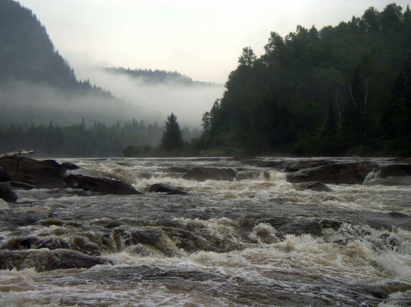
 Chutes des Ailes | ||
| Daten | ||
| Lage | Mauricie in Québec (Kanada) | |
| Flusssystem | Sankt-Lorenz-Strom | |
| Abfluss über | Sankt-Lorenz-Strom → Atlantischer Ozean | |
| Ursprung | Lac Édouard 47° 38′ 47″ N, 72° 17′ 57″ W | |
| Quellhöhe | 363 m | |
| Mündung | Sankt-Lorenz-Strom 46° 31′ 12″ N, 72° 14′ 9″ W
| |
| Länge | 196 km[1] | |
| Einzugsgebiet | 4688 km²[1] | |
| Abfluss am Pegel Centrale de Saint-Narcisse | MNQ MQ MHQ |
7,9 m³/s 96 m³/s 937 m³/s |
| Linke Nebenflüsse | Rivière à Veillet, Rivière à Pierre, Rivière Miguick, Rivière aux Éclairs | |
| Rechte Nebenflüsse | Rivière à la Lime, Rivière des Chutes, Rivière des Envies, Rivière Pierre-Paul, Rivière Tawachiche, Rivière Propre, Rivière Serpentine, Rivière Jeannotte | |
 Rivière Batiscan | ||
Der 196 km lange Fluss fließt vom Lac Édouard in der Region Mauricie in südlicher Richtung zum Sankt-Lorenz-Strom und mündet in diesen bei Batiscan – 30 km östlich von Trois-Rivières und 80 km westlich der Provinzhauptstadt Québec.
Wasserkraft
Centrale de Saint-Narcisse ist das einzige Wasserkraftwerk am Rivière Batiscan. Es wurde 1926 fertiggestellt und wird von Hydro-Québec betrieben. Zwei Turbinen erzeugen zusammen 15 MW. Das hydraulische Potential beträgt 44,81 m.[2]
Geographie
Flusslauf
Der Fluss Rivière Batiscan hat seinen Ursprung auf 363 m Höhe in den Laurentinischen Bergen. Er entspringt dem See Lac Édouard. Dieser hat einen weiteren Abfluss, den Rivière Jeannotte, welcher sich nach 48 km mit dem Rivière Batiscan vereinigt. Der Rivière Batiscan fließt in südlicher Richtung zum Sankt-Lorenz-Strom.
Hydrologie
Das Einzugsgebiet umfasst 4688 km². Am Wasserkraftwerk Centrale de Saint-Narcisse beträgt der mittlere Abfluss 96 m³/s. Der Abfluss variiert stark. Im Monat Mai erreicht er sein Maximum mit 937 m³/s, im September sind es lediglich 7,9 m³/s. Auf den letzten 18 km des Flusslaufs machen sich die Gezeiten des Ästuars des Sankt-Lorenz-Stroms bemerkbar. An der Mündung beträgt der Tidenhub 1,5 m.
Weblinks
Einzelnachweise
- Commission de toponymie du Québec - Rivière Batiscan
- Hydro-Québec - Hydroelectric Generating Stations
На других языках
- [de] Rivière Batiscan
[en] Batiscan River
The Batiscan River is located in La Mauricie administrative region, in the Quebec province, Canada. This river flows 196 kilometres (122 mi) from Lake Édouard in Mauricie south and west to empty into the St. Lawrence River at Batiscan, Quebec, northeast of Trois-Rivières, Quebec. It passes through the regional county municipalities (RCM) (MRC in French) of La Tuque, Portneuf, Mékinac and Les Chenaux.Другой контент может иметь иную лицензию. Перед использованием материалов сайта WikiSort.org внимательно изучите правила лицензирования конкретных элементов наполнения сайта.
WikiSort.org - проект по пересортировке и дополнению контента Википедии