geo.wikisort.org - Réservoir
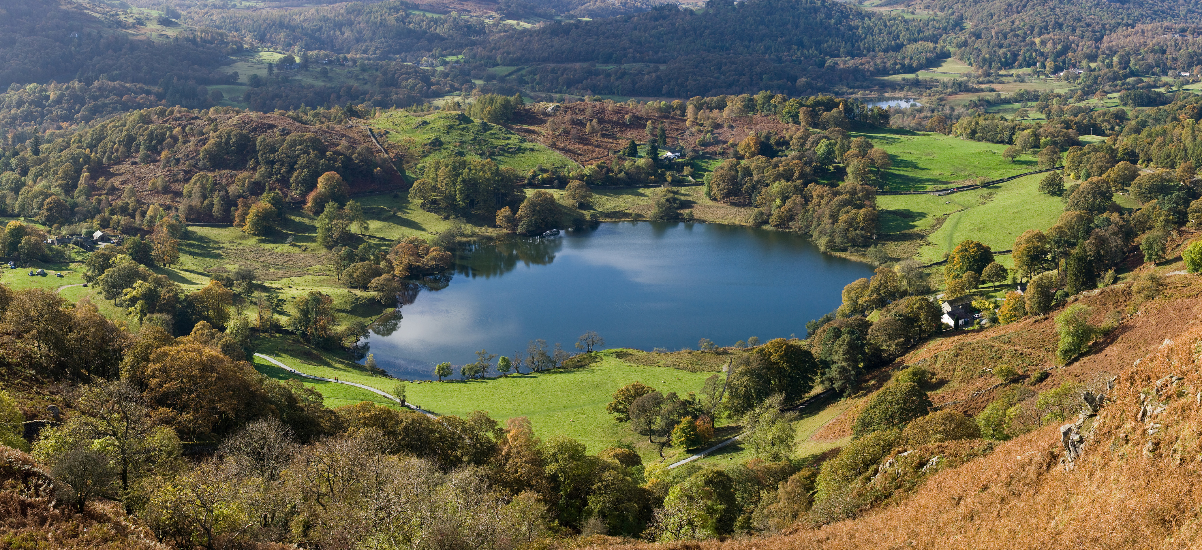
Le Loughrigg Tarn est un lac naturel situé dans le comté de Cumbria, il est situé au nord du lac Windermere au pied du Loughrigg Fell (en).
| Loughrigg Tarn | ||
| ||
| Administration | ||
|---|---|---|
| Pays | ||
| Comté | Cumbria | |
| Région naturelle | Lake District | |
| Géographie | ||
| Coordonnées | 54° 25′ 50″ N, 3° 00′ 42″ O | |
| Montagne | Lake District | |
| Longueur | 371 m | |
| Largeur | 277 m | |
| Altitude | 97 m | |
| Profondeur | 12 m |
|
| Géolocalisation sur la carte : Angleterre
| ||
| modifier |
||

Traduction
- (en) Cet article est partiellement ou en totalité issu de l’article de Wikipédia en anglais intitulé « Loughrigg Tarn » (voir la liste des auteurs).
 Portail des lacs et cours d'eau
  Portail de l’Angleterre
На других языках
[de] Loughrigg Tarn
Der Loughrigg Tarn ist ein See im Lake District, Cumbria, England. Der See liegt östlich des Elter Water und südlich des Loughrigg Fell.[en] Loughrigg Tarn
Loughrigg Tarn (/ˌlʌfrɪɡ ˈtɑːrn/) is a small, natural lake in the Lake District, Cumbria, England. It is situated north of Windermere, just north of the village of Skelwith Bridge, and at the foot of Loughrigg Fell. "Loughrigg Tarn" is a bit of a tautology, since "loughrigg" means "ridge of the lough (lake)" and "tarn" is also the name of a body of water.- [fr] Loughrigg Tarn
Текст в блоке "Читать" взят с сайта "Википедия" и доступен по лицензии Creative Commons Attribution-ShareAlike; в отдельных случаях могут действовать дополнительные условия.
Другой контент может иметь иную лицензию. Перед использованием материалов сайта WikiSort.org внимательно изучите правила лицензирования конкретных элементов наполнения сайта.
Другой контент может иметь иную лицензию. Перед использованием материалов сайта WikiSort.org внимательно изучите правила лицензирования конкретных элементов наполнения сайта.
2019-2025
WikiSort.org - проект по пересортировке и дополнению контента Википедии
WikiSort.org - проект по пересортировке и дополнению контента Википедии