geo.wikisort.org - Réservoir
Le lac Chilwa est le deuxième plus grand lac du Malawi après le lac Malawi. Il est entouré d'un biotope appelé Prairies inondables zambéziennes.

Cet article ne cite pas suffisamment ses sources ().
Si vous disposez d'ouvrages ou d'articles de référence ou si vous connaissez des sites web de qualité traitant du thème abordé ici, merci de compléter l'article en donnant les références utiles à sa vérifiabilité et en les liant à la section « Notes et références »
En pratique : Quelles sources sont attendues ? Comment ajouter mes sources ?
| Lac Chilwa | ||
 Pêcheur sur le lac Chilwa | ||
| Administration | ||
|---|---|---|
| Pays | ||
| District | Zomba | |
| Statut | Site Ramsar | |
| Géographie | ||
| Coordonnées | 15° 18′ S, 35° 42′ E | |
| Superficie | 1 200 km2 |
|
| Longueur | 60 km | |
| Largeur | 40 km | |
| Altitude | 627 m | |
| Profondeur · Maximale |
2 m |
|
| Volume | 1,8 km3 | |
| Hydrographie | ||
| Bassin versant | 7 500 km2 | |
| Alimentation | Songani River (d), Phalombe River (d), Domasi River (d) et Naisi River (d) | |
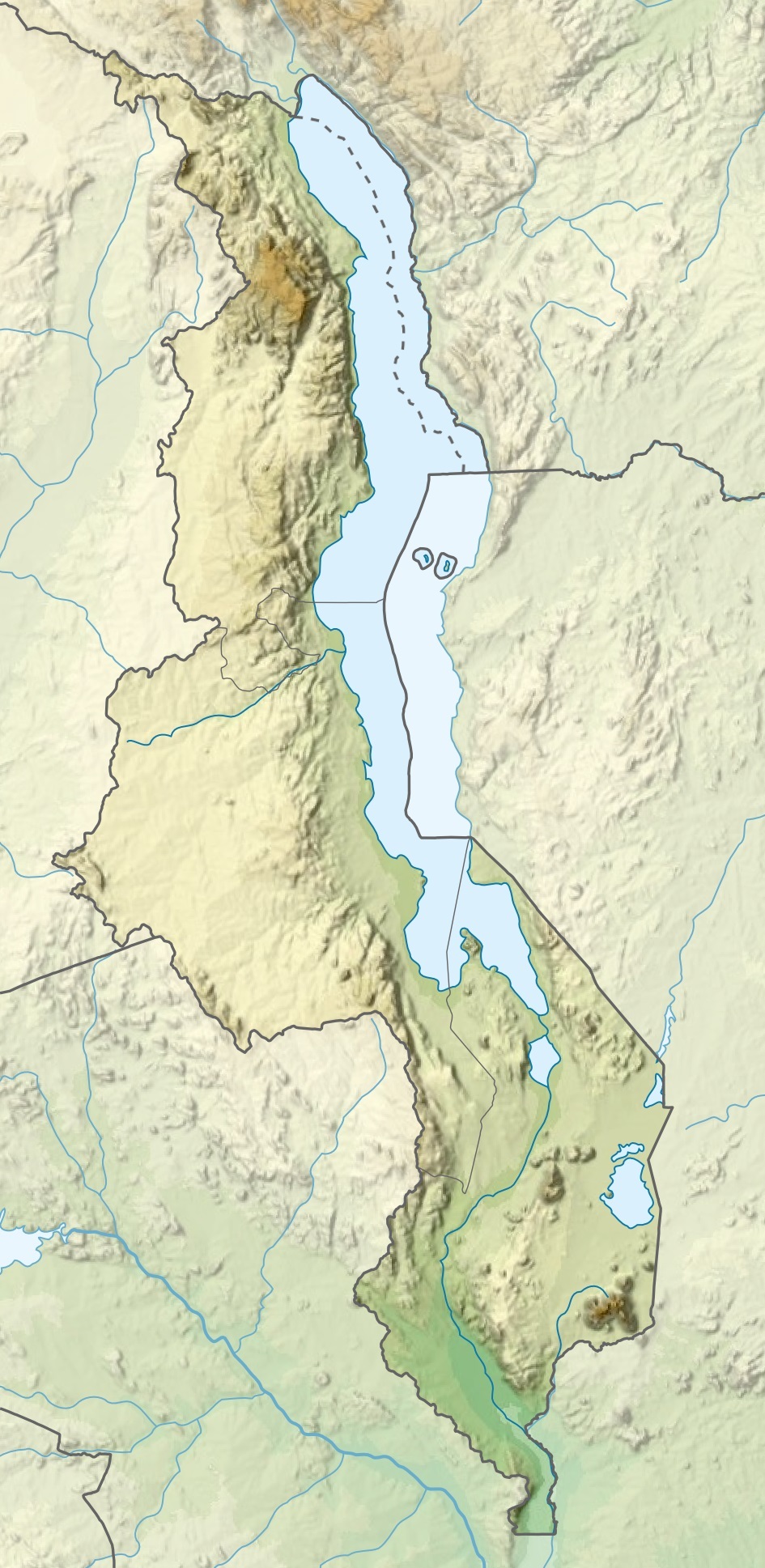
| Géolocalisation sur la carte : Malawi
| ||
| modifier |
||
Le lac Chilwa est reconnu au titre de site Ramsar depuis le [1] et au titre de réserve de biosphère depuis 2006[2].
Géographie
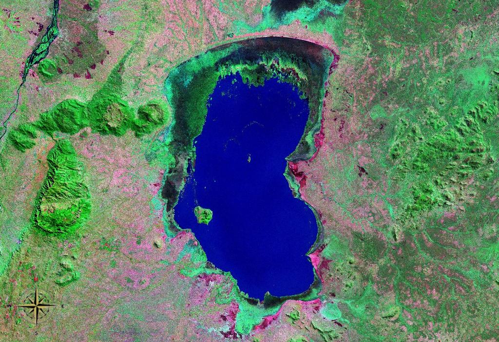
 photo satellite par la NASA.
 photo satellite par la NASA.

Voir aussi
- le lac Malawi
Notes et références
- (en) « Lake Chilwa », sur Service d’information sur les Sites Ramsar (consulté le )
- (en) « Lake Chilwa Wetland », sur UNESCO (consulté le )
 Portail du Malawi
  Portail des lacs et cours d'eau
На других языках
[de] Chilwa-See
Der Chilwa-See liegt im Südosten Malawis auf der Grenze zu Mosambik.[en] Lake Chilwa
Lake Chilwa is the second-largest lake in Malawi after Lake Malawi. It is in eastern Zomba District, near the border with Mozambique. Approximately 60 km long and 40 km wide, the lake is surrounded by extensive wetlands. There is an island in the middle of the lake called Chisi Island. The lake has no outlet, and the level of water is greatly affected by seasonal rains and summer evaporation. In 1968, the lake disappeared during exceptionally dry weather. When David Livingstone visited the lake in 1859,[2] he reported that its southern boundary reached as far as the Mulanje Massif, which would have made the lake at least 32 kilometres (20 mi) longer than it is today.- [fr] Lac Chilwa
[it] Lago Chilwa
Il lago Chilwa è il secondo lago del Malawi per espansione dopo il Lago Malawi. Si trova nel distretto di Zomba orientale, vicino al confine con il Mozambico. Lungo approssimativamente 60 km e largo circa 40, il lago è circondato da zone umide. Al centro del lago vi è un'isola dal nome Chisi. Il lago non ha sbocchi, ed è a rischio di prosciugamento se l'acqua nel suo bacino è deviata per uso umano. Il Danish International Development Agency sta lavorando per assicurare la conservazione del lago e delle sue zone umide.[ru] Чилва
Чи́лва[1][2][3] (Шируа[4], Ширва[3]; устар. Шильва[5]) — мелководное бессточное солоноватое озеро на юго-востоке Малави у границы с Мозамбиком[1][3].Текст в блоке "Читать" взят с сайта "Википедия" и доступен по лицензии Creative Commons Attribution-ShareAlike; в отдельных случаях могут действовать дополнительные условия.
Другой контент может иметь иную лицензию. Перед использованием материалов сайта WikiSort.org внимательно изучите правила лицензирования конкретных элементов наполнения сайта.
Другой контент может иметь иную лицензию. Перед использованием материалов сайта WikiSort.org внимательно изучите правила лицензирования конкретных элементов наполнения сайта.
2019-2026
WikiSort.org - проект по пересортировке и дополнению контента Википедии
WikiSort.org - проект по пересортировке и дополнению контента Википедии