geo.wikisort.org - Réservoir
Le Formarinsee est un lac situé dans le massif de Lechquellen, en Autriche (Vorarlberg). Il donne son nom au Formarinbach, un des deux ruisseaux qui donne naissance au Lech. Le lac est situé à une altitude de 1 973 m, dans le village de Dalaas. Le Rote Wand est directement visible au nord du lac.
| Formarinsee | |||

| |||
| Administration | |||
|---|---|---|---|
| Pays | |||
| Land | Vorarlberg | ||
| District | Bludenz | ||
| Commune | Dalaas | ||
| Géographie | |||
| Coordonnées | 47° 10′ 04″ N, 9° 59′ 28″ E | ||
| Superficie | 15,9 ha |
||
| Longueur | 500 km | ||
| Altitude | 1 793 m | ||
| Profondeur | 17 m |
||
| Hydrographie | |||
| Émissaire(s) | Lech | ||
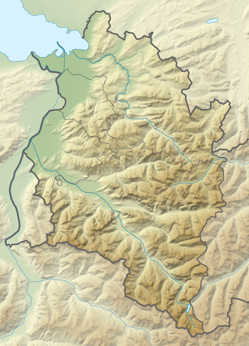
| Géolocalisation sur la carte : Vorarlberg
Géolocalisation sur la carte : Autriche
| |||
| modifier |
|||

Source de la traduction
- (en) Cet article est partiellement ou en totalité issu de l’article de Wikipédia en anglais intitulé « Formarinsee » (voir la liste des auteurs).
Lien externe
 Portail de l'Autriche
  Portail des lacs et cours d'eau
На других языках
[de] Formarinsee
Der Formarinsee ist ein Hochgebirgssee im Lechquellengebirge im österreichischen Bundesland Vorarlberg. Auf einer Höhe von 1793 m ü. A. liegt der See in unmittelbarer Nähe zur Roten Wand und dem Berg Formaletsch im Gemeindegebiet von Dalaas.[en] Formarinsee
Formarinesee is a lake[1] in the Austrian Alps. It lies in the Bundesland of Vorarlberg and lends its name to the close by Formarinbach, one of the two source rivers of the River Lech.- [fr] Formarinsee
Текст в блоке "Читать" взят с сайта "Википедия" и доступен по лицензии Creative Commons Attribution-ShareAlike; в отдельных случаях могут действовать дополнительные условия.
Другой контент может иметь иную лицензию. Перед использованием материалов сайта WikiSort.org внимательно изучите правила лицензирования конкретных элементов наполнения сайта.
Другой контент может иметь иную лицензию. Перед использованием материалов сайта WikiSort.org внимательно изучите правила лицензирования конкретных элементов наполнения сайта.
2019-2026
WikiSort.org - проект по пересортировке и дополнению контента Википедии
WikiSort.org - проект по пересортировке и дополнению контента Википедии