geo.wikisort.org - Reservoir
Styhead Tarn is a tarn in the English Lake District, near the top of the Sty Head pass, at the head of Borrowdale. It is on the route from Wasdale to Borrowdale, and is therefore a well visited point in the Lake District. It is also passed by walkers ascending Scafell Pike from Borrowdale via the Corridor Route. It is permissible to fish the tarn which contains wild brown trout.
This article needs additional citations for verification. (May 2020) |
| Styhead Tarn | |
|---|---|
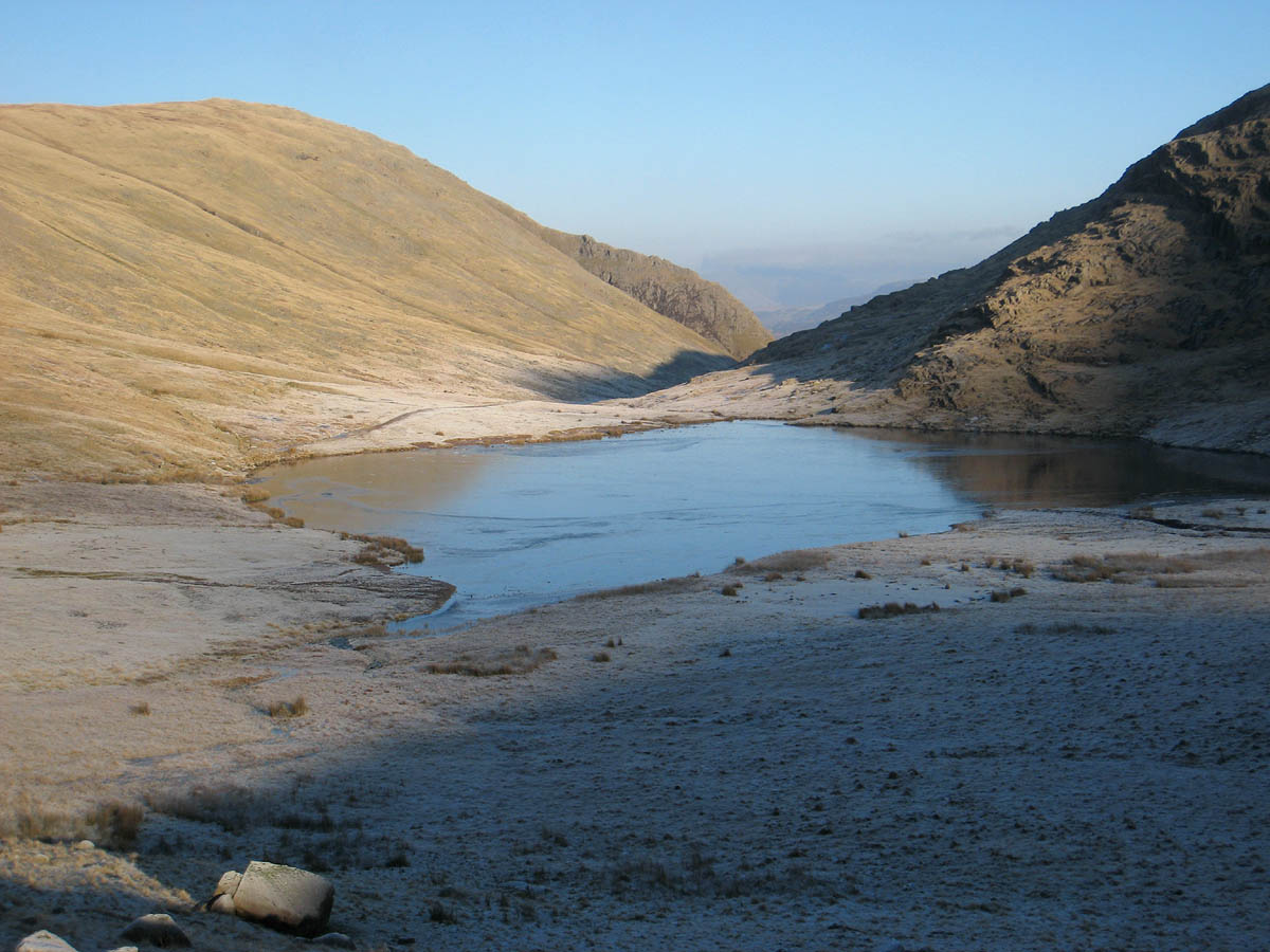 Styhead Tarn, looking across towards Borrowdale | |
| Location | Cumbria |
| Coordinates | 54°28′41″N 3°12′10″W |
| Primary outflows | Styhead Gill |
| Basin countries | United Kingdom |


The Styhead Gill is the tarn's outlet which flows into the River Derwent.
Although no official confirmation yet exists, Styhead Tarn is believed to hold the English record for the highest monthly rainfall total,[1] at about 1430 mm in November 2009.[2]
References
- Simons, Paul (25 November 2009). "Weather eye: The wettest habitable place in Britain". The Times.
- "Extreme Monthly Rainfall: November 2009" (PDF). Brampton Weather Station.
This Cumbria location article is a stub. You can help Wikipedia by expanding it. |
На других языках
[de] Styhead Tarn
Der Styhead Tarn ist ein kleiner See im Lake District, Cumbria, England. Der Styhead Tarn liegt am nördlichen Rand des Sty Head Pass, der das Borrowdale Tal mit Wasdale verbindet.- [en] Styhead Tarn
Текст в блоке "Читать" взят с сайта "Википедия" и доступен по лицензии Creative Commons Attribution-ShareAlike; в отдельных случаях могут действовать дополнительные условия.
Другой контент может иметь иную лицензию. Перед использованием материалов сайта WikiSort.org внимательно изучите правила лицензирования конкретных элементов наполнения сайта.
Другой контент может иметь иную лицензию. Перед использованием материалов сайта WikiSort.org внимательно изучите правила лицензирования конкретных элементов наполнения сайта.
2019-2026
WikiSort.org - проект по пересортировке и дополнению контента Википедии
WikiSort.org - проект по пересортировке и дополнению контента Википедии