geo.wikisort.org - Reservoir
Pentwater Lake is a water body adjacent to the village of Pentwater, Michigan. Its primary inlet is the Pentwater River; its outlet is a man-made channel flowing into Lake Michigan.
| Pentwater Lake | |
|---|---|
 The western section of the lake | |
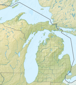  Pentwater Lake | |
| Location | Oceana County, Michigan |
| Coordinates | 43°46′09″N 86°25′17″W[1] |
| Primary inflows | Pentwater River |
| Primary outflows | Pentwater Lake Channel |
| Max. length | 1.8 miles (2.9 km) |
| Max. width | 4,756 feet (1,450 m) |
| Surface area | 431 acres (174 ha) |
| Average depth | 27 feet (8.2 m) |
| Max. depth | 50 feet (15 m) |
| Water volume | 15,900 acre-feet (19,600,000 m3) |
| Shore length1 | 6.2 miles (10.0 km) |
| Surface elevation | 581 feet (177 m)[1] |
| Settlements | Pentwater |
| 1 Shore length is not a well-defined measure. | |
Pentwater Lake has a surface area of 431 acres, a maximum depth of 50 feet, and an average depth of 27 feet. The lake contains 11,590 acre-feet—a volume of water that would cover 18 square miles to a depth of one foot. Its shoreline is 6.2 miles long.[2]
See also
- List of lakes in Michigan
References
- "Pentwater Lake". Geographic Names Information System. United States Geological Survey, United States Department of the Interior.
- "Lake Facts". Pentwater Lake Improvement Board. Retrieved April 27, 2020.
External links
- Pentwater Lake Guidebook Pentwater Lake Improvement Board
 | This Oceana County, Michigan location article is a stub. You can help Wikipedia by expanding it. |
Текст в блоке "Читать" взят с сайта "Википедия" и доступен по лицензии Creative Commons Attribution-ShareAlike; в отдельных случаях могут действовать дополнительные условия.
Другой контент может иметь иную лицензию. Перед использованием материалов сайта WikiSort.org внимательно изучите правила лицензирования конкретных элементов наполнения сайта.
Другой контент может иметь иную лицензию. Перед использованием материалов сайта WikiSort.org внимательно изучите правила лицензирования конкретных элементов наполнения сайта.
2019-2026
WikiSort.org - проект по пересортировке и дополнению контента Википедии
WikiSort.org - проект по пересортировке и дополнению контента Википедии