geo.wikisort.org - Reservoir
The Oumarou Kanazoé Dam (French: Barrage Oumarou Kanazoé), officially known as the Toécé Dam (French: Barrage de Toécé), is a dam straddling the border between Yatenga and Passoré Provinces in the Nord Region of Burkina Faso. It is named after Burkinabé entrepreneur Oumarou Kanazoé, whose construction company, Kanazoé Frères, built it in 1995. It contains the Nord Region's largest reservoir of water, which is used for irrigation and fishing. As of 2019, efforts were underway to clear the reservoir of invasive typha, which covers 50.6% of its surface area.[1][2]
| Oumarou Kanazoé Dam | |
|---|---|
 Sign indicating the Oumarou Kanazoé Dam in Yako. | |
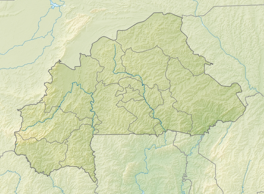 Location of Oumarou Kanazoé Dam in Burkina Faso. | |
| Official name | Barrage de Toécé |
| Country | Burkina Faso |
| Location | Yatenga and Passoré Provinces, Nord Region |
| Coordinates | 13°1′16″N 2°3′36″W |
| Purpose | Irrigation, fishing |
| Status | Operational |
| Construction began | 1995 |
| Opening date | 1998 |
| Dam and spillways | |
| Type of dam | Barrage |
| Impounds | Nakanbé |
| Length | 4.2 km (2.6 mi) |
| Reservoir | |
| Creates | Toécé Reservoir |
| Total capacity | 90,600,000 m3 (73,500 acre⋅ft) |
| Surface area | 5,000 ha (12,000 acres) |
References
- "Protection des ressources en eau : Des résultats satisfaisants à Toécé dans la lutte contre le typha". le Faso.net. Retrieved 19 September 2019.
- "Fight against invasive plants: the AEN holds in the first week of July 2019, an information and awareness workshop for the people of the Northern Region". Agence de l'Eau du Nakanbé. Retrieved 19 September 2019.
This article about a Burkinabé building or structure related topic is a stub. You can help Wikipedia by expanding it. |
Текст в блоке "Читать" взят с сайта "Википедия" и доступен по лицензии Creative Commons Attribution-ShareAlike; в отдельных случаях могут действовать дополнительные условия.
Другой контент может иметь иную лицензию. Перед использованием материалов сайта WikiSort.org внимательно изучите правила лицензирования конкретных элементов наполнения сайта.
Другой контент может иметь иную лицензию. Перед использованием материалов сайта WikiSort.org внимательно изучите правила лицензирования конкретных элементов наполнения сайта.
2019-2025
WikiSort.org - проект по пересортировке и дополнению контента Википедии
WikiSort.org - проект по пересортировке и дополнению контента Википедии