geo.wikisort.org - Reservoir
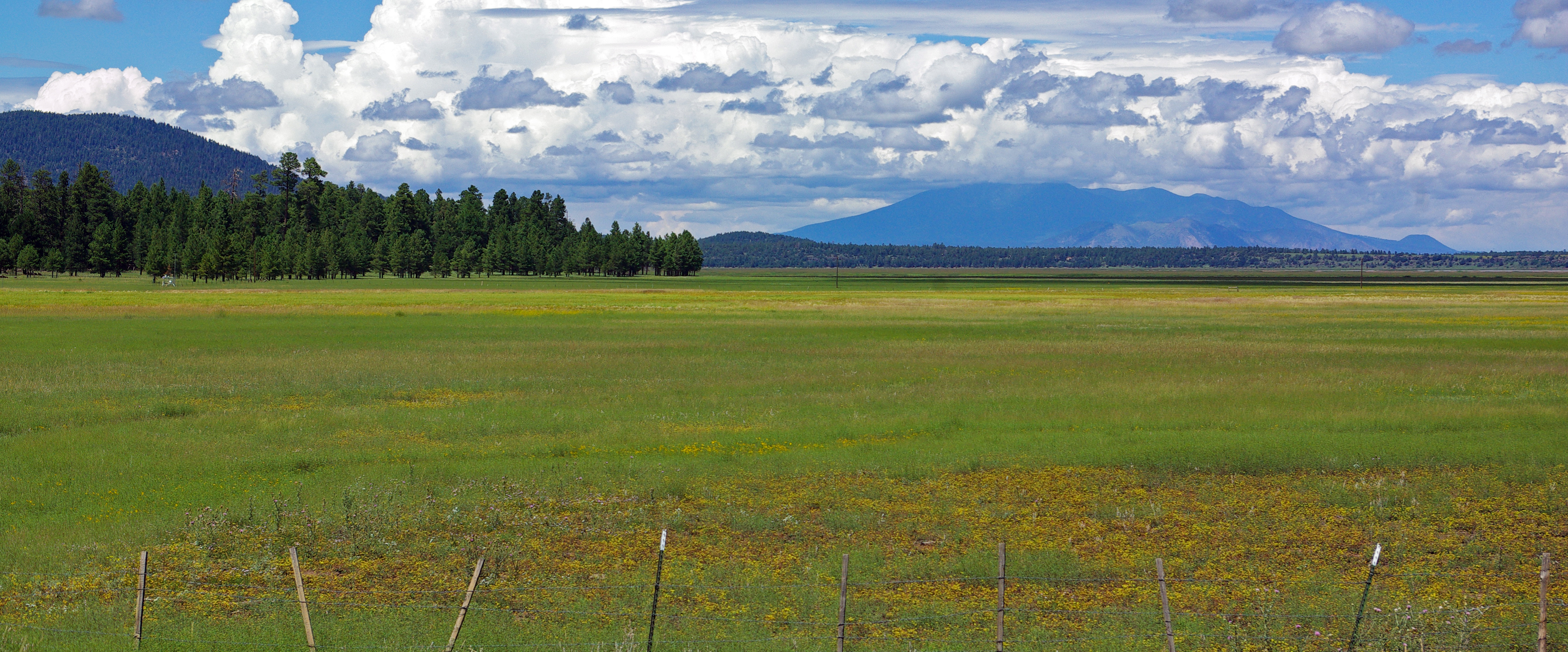
Mormon Lake is a shallow, intermittent lake located in northern Arizona in Pleasant Valley. With an average depth of only 10 ft (3.0 m), the surface area of the lake is extremely volatile and fluctuates seasonally. When full, the lake has a surface area of about 12 square miles (31 km2), making it the largest natural lake in Arizona.[2] In particularly dry times, the lake has been known to dry up, leaving behind a remnant marsh.
| Mormon Lake | |
|---|---|
 | |
 Mormon Lake  Mormon Lake | |
| Location | Coconino County, Arizona, United States |
| Coordinates | 34°56′33″N 111°27′21″W |
| Basin countries | United States |
| Surface area | 600 acres (240 ha) |
| Average depth | 10 ft (3.0 m) |
| Surface elevation | 7,100 ft (2,200 m) |
| Settlements | Mormon Lake and Lakeview |
| References | [1] |
Two small settlements, Mormon Lake Village and Lakeview, were developed along the lakeshore in wetter years, but lie a distance south of the average shoreline. The surrounding area, which lies within Coconino National Forest, is part of the largest continuous stand of ponderosa pine in North America,[3] often hosting campers and hikers. The lake itself is occasionally stocked with fish species such as bullhead catfish and northern pike, but due to its intermittent nature, it may contain few or no fish following dry seasons.
The name of the lake commemorates Mormon settlers who migrated to northern Arizona in the 1870s. The settlers, who located their main communities along the Little Colorado River, established various cottage industries in Pleasant Valley: a sawmill in 1876, a dairy in 1878, and a tannery in 1879. All were abandoned when the Little Colorado colonies were disbanded. The Coconino National Forest archaeologists recorded the remains of the mill site, little more than a foundation and piles of rocks, about 5 miles (8.0 km) southeast of Mormon Lake, in 1978.[4][5]
References
- U.S. Geological Survey Geographic Names Information System: Mormon Lake
- "Mormon Lake". United States Forest Service. Retrieved 2008-05-27.
- Ponderosa Pine Forests of the Colorado Plateau Archived 2015-04-29 at the Wayback Machine
- "Arizona Pioneer Mormon: Chapter Nine". Archived from the original on 2006-09-05.
- Stein, Pat H (2005). "The Mormon Lake Dairy, Sawmill, and Tannery" (PDF). Archaeology Southwest Magazine. 19 (2): 10. Retrieved 16 September 2020.
- Information and Education Division (2007). "Arizona Fishin' Holes". Phoenix, AZ: Arizona Game and Fish Department.
{{cite journal}}: Cite journal requires|journal=(help)
External links
| Wikimedia Commons has media related to Mormon Lake. |
- Mormon Lake (Arizona Handbook)
- Mormon Lake (Columbia Gazetteer)
- Arizona Boating Locations Facilities Map
- Arizona Fishing Locations Map
- Video of Mormon Lake
| Authority control: National libraries |
|---|
На других языках
[de] Mormon Lake
Der Mormon Lake ist ein See etwa 35 km südöstlich von Flagstaff im Coconino County im US-Bundesstaat Arizona auf dem Mogollon Rim. Er ist 5,4 km lang und 3,6 km breit und damit der größte natürliche See im US-Bundesstaat Arizona. Große Herden von Wapiti sammeln sich am Ufer des Sees.- [en] Mormon Lake
Другой контент может иметь иную лицензию. Перед использованием материалов сайта WikiSort.org внимательно изучите правила лицензирования конкретных элементов наполнения сайта.
WikiSort.org - проект по пересортировке и дополнению контента Википедии