geo.wikisort.org - Reservoir
Masinga Hydroelectric Power Station, also Masinga Dam, is an embankment dam on the Tana River, the longest river in Kenya. It straddles the border of Embu and Machakos Counties in Eastern Province and is located about 106 km. (66 mi.), by road, northeast of Nairobi, Kenya's capital and largest city.[1]
| Masinga Hydroelectric Power Station | |
|---|---|
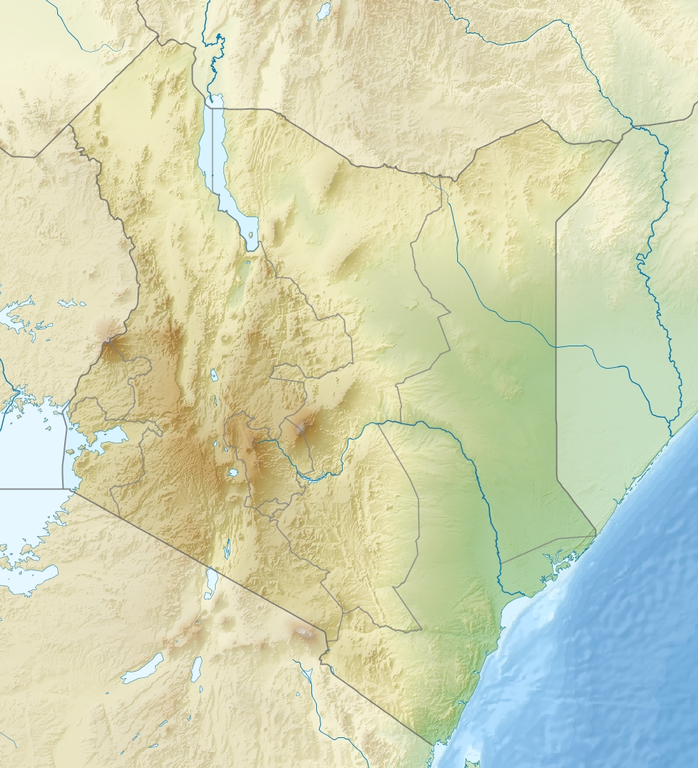 Location of Masinga Hydroelectric Power Station in Kenya | |
| Official name | Masinga Power Station |
| Country | Kenya |
| Location | Embu County/Machakos County, Eastern Province |
| Coordinates | 00°53′21″S 37°35′40″E |
| Purpose | Power |
| Status | Operational |
| Construction began | 1978 |
| Opening date | 1981 |
| Owner(s) | Tana and Athi Rivers Development Authority |
| Dam and spillways | |
| Type of dam | Embankment dam |
| Impounds | Tana River |
| Height | 60 m (200 ft) |
| Length | 2,200 m (7,200 ft) |
| Dam volume | 4,950,000 m3 (175,000,000 cu ft) |
| Spillway type | Over the dam |
| Reservoir | |
| Total capacity | 1,560,000,000 m3 (1,260,000 acre⋅ft) |
| Surface area | 120 km2 (46 sq mi) |
| Operator(s) | Kenya Electricity Generating Company |
| Commission date | 1981 |
| Hydraulic head | 49 m (161 ft) (max) |
| Turbines | 2 x 20 MW Kaplan-type |
| Installed capacity | 40 megawatts (54,000 hp) |
| Annual generation | 129 - 232 GWh |
Construction of the dam began in 1978.[2] The dam was completed in 1981.[3] It is owned by Tana and Athi Rivers Development Authority (TARDA).[4] The dam is used for power production and is part of the Seven Forks Scheme.[3]
Dam
Masinga Dam is a 60 m tall and 2,200 m long embankment dam.[3] The volume of the dam is 4,950,000 m³. The dam contains a spillway and a bottom outlet.[2]
Reservoir
At full reservoir level (maximum flood level of 1,056.5 m)[4] the reservoir of the dam has a surface area of 120 km² and its total capacity is 1,56 million m³.[2] Minimum operating level is normally 1,037 m. On June 26, KenGen shut down the power plant because the operating level had fallen to 1,035.5 m. At the time of the closure the plant had been producing 14 MW.[5]
Because of its large volume, the reservoir is crucial in regulating the flow of water for the other 4 hydroelectric power plants downstream.[6]
Power plant
The run-of-the-river hydroelectric power plant went operational in 1981. It is owned by TARDA, but operated by Kenya Electricity Generating Company (KenGen).[4] The plant has a nameplate capacity of 40 MW. Its average annual generation is between 128 (in 2008) and 232 (in 2007) GWh,[3] depending on the water flow of the Tana River.
The power plant contains 2 Kaplan turbine-generators with 20 MW each. The turbines were provided by Escher Wyss, the generators by ABB. The maximum hydraulic head is 49 m, maximum flow per turbine is 45.9 (45)[2] m³/s.[3]
History
Capital cost of the dam was US$172 million.[citation needed]
Feasibility studies were made in the 1970s and they confirmed the viability of a cascade of hydroelectric power plants along the Tana River: Masinga, Kamburu, Gitaru, Kindaruma, Kiambere, Karura, Mutonga, Low Grand Falls, Usheni, Adamsons Falls, and Kora. Only the first five of them have been built so far.[6]
Plans to raise the dam by 1.5 m in order to increase the volume of the reservoir up to 2 billion m³ were finally cancelled. The cost would have been US$15 million.[4]
In February 2018, KenGen resurrected plans to raise the Masinga Dam wall by 2 metres (6.6 ft), and install pumping equipment to recycle the downstream water discharge back to the dam for steady electricity output though the dry seasons. The French Development Agency (AFD) agreed to lend the KSh21 million (€169,000) required to conduct a fresh feasibility and environment impact assessment. AFD selected EDF Group, a French company to carry out the study.[7]
Heavy rains beginning in March 2018 led to major flooding throughout the Tana River area. On 17 May 2018, it was announced that the Masinga dam had reached capacity and had begun to overflow one week after the deadly failure of a smaller embankment dam in Solai. While safeguards in place prevented the dam from failing, other dams downstream had already reached capacity and authorities advised the evacuation of the towns of Garissa, Garsen, Hola, and Bura.[8]
See also
- Kamburu Hydroelectric Power Station – downstream
- List of power stations in Kenya
References
- Globefeed.com (19 February 2018). "Distance between Nairobi Central, Nairobi, Kenya and Masinga Dam, Kenya". Globefeed.com. Retrieved 19 February 2018.
- "Masinga Dam". Salini Impregilo. Retrieved 2015-02-15.
- "Masinga Hydroelectric Power Station Kenya". Global Energy Observatory. Retrieved 2015-02-19.
- Victor Juma (2013-02-26). "KenGen's bid to raise Masinga dam height suspended". Business Daily. Retrieved 2015-02-15.
- Rob Jillo (2009-06-30). "KenGen closes Masinga Dam". Business&Tech. Retrieved 2015-02-15.
- "MASINGA POWER STATION". Kenya Electricity Generating Company. Archived from the original on 2016-03-09. Retrieved 2015-02-19.
- Otuki, Neville (19 February 2018). "KenGen signs fresh deal to upgrade Masinga dam wall". Business Daily Africa. Nairobi. Retrieved 19 February 2018.
- Okuoro, Sara (17 May 2018). "Masinga Dam overflows". The Standard. Retrieved 18 May 2018.
На других языках
[de] Kraftwerk Masinga
Das Kraftwerk Masinga (englisch Masinga power station) ist ein Wasserkraftwerk auf der Grenze zwischen den Countys Embu und Machakos in Kenia. Es ist am längsten Fluss Kenias, dem Tana, gelegen.- [en] Masinga Hydroelectric Power Station
Другой контент может иметь иную лицензию. Перед использованием материалов сайта WikiSort.org внимательно изучите правила лицензирования конкретных элементов наполнения сайта.
WikiSort.org - проект по пересортировке и дополнению контента Википедии