geo.wikisort.org - Reservoir
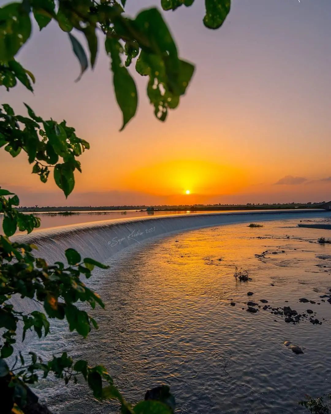
Manyad Dam, is an earthfill dam on Manyad river near nandre Chalisgaon, Jalgaon district in state of Maharashtra in India.
| Manyad Dam | |
|---|---|
 | |
 Location of Manyad Dam in Maharashtra | |
| Official name | Manyad Dam D01273 |
| Location | NANDRE tal chalisgaon |
| Coordinates | 20.4796447°N 74.7922526°E |
| Opening date | 1973[1] |
| Owner(s) | Government of Maharashtra, India |
| Dam and spillways | |
| Type of dam | Earthfill |
| Impounds | Manyad river |
| Height | 45 m (148 ft) |
| Length | 1,677 m (5,502 ft) |
| Dam volume | 896.5 km3 (215.1 cu mi) |
| Reservoir | |
| Total capacity | 40,257 km3 (9,658 cu mi) |
| Surface area | 8,710 km2 (3,360 sq mi) |
Specifications
The height of the dam above lowest foundation is 45 m (148 ft) while the length is 1,677 m (5,502 ft). The volume content is 896.5 km3 (215.1 cu mi) and gross storage capacity is 53,980.00 km3 (12,950.49 cu mi).[2]
Purpose
- Irrigation
See also
- Dams in Maharashtra
- List of reservoirs and dams in India
References
- "Manyad D01273". Archived from the original on April 13, 2013. Retrieved March 1, 2013.
- Specifications of large dams in India Archived 2011-07-21 at the Wayback Machine
Текст в блоке "Читать" взят с сайта "Википедия" и доступен по лицензии Creative Commons Attribution-ShareAlike; в отдельных случаях могут действовать дополнительные условия.
Другой контент может иметь иную лицензию. Перед использованием материалов сайта WikiSort.org внимательно изучите правила лицензирования конкретных элементов наполнения сайта.
Другой контент может иметь иную лицензию. Перед использованием материалов сайта WikiSort.org внимательно изучите правила лицензирования конкретных элементов наполнения сайта.
2019-2025
WikiSort.org - проект по пересортировке и дополнению контента Википедии
WikiSort.org - проект по пересортировке и дополнению контента Википедии