geo.wikisort.org - Reservoir
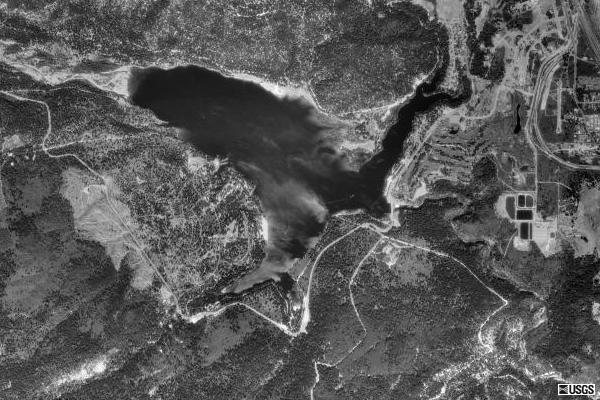
Lake Siskiyou is a reservoir formed by Box Canyon Dam[1] on the Sacramento River, in far northern California, near the town of Mt. Shasta, California.[2] It is the site of local recreation, as well as being used for watershed protection and flood control.
| Lake Siskiyou | |
|---|---|
 with Mount Shasta in the distance. | |
 Lake Siskiyou  Lake Siskiyou | |
| Location | Siskiyou County, California |
| Coordinates | 41°17′00″N 122°20′21″W |
| Type | Reservoir |
| Primary inflows | Sacramento River |
| Primary outflows | Sacramento River |
| Basin countries | United States |
| Max. length | 1.62 mi (2.61 km) |
| Max. width | 1.39 mi (2.24 km) |
| Surface area | 430 acres (170 ha)[1] |
| Water volume | 26,000 acre⋅ft (32,000,000 m3)[1] |
| Surface elevation | 3,185 ft (971 m) |
| Settlements | Mount Shasta, California |
Wagon Creek Bridge
In late 2010 a walking bridge over the wagon creek inlet was completed, finishing a trail that wraps around the entire lake. The cost of the bridge was $2.8 million; funding was obtained from the McConnell Foundation, The State of California and federal stimulus funds. The McConnell Foundation also provided funds for the Sundial Bridge in Redding, California.[3]
See also
- List of dams and reservoirs in California
- List of lakes in California
References
- Box Canyon Dam Archived 2011-07-16 at the Wayback Machine NPDP Dam Directory. Accessed 2008-01-04.
- Map of Lake Siskiyou accessed 2008-01-04.
- Redding Searchlight "Wagon Creek bridge will open Tuesday" "Wagon Creek bridge will open Tuesday » Redding Record Searchlight". Archived from the original on 2013-02-16. Retrieved 2013-01-29. October 14, 2010
- "Lake Siskiyou". Geographic Names Information System. United States Geological Survey, United States Department of the Interior.
This Siskiyou County, California-related article is a stub. You can help Wikipedia by expanding it. |
На других языках
- [en] Lake Siskiyou
[fr] Lac Siskiyou
Le lac Siskiyou est un lac de barrage situé dans le comté de Siskiyou au nord de la Californie. Le lac est localisé dans la région montagneuse de la chaîne des Cascades à proximité du mont Shasta. Le lac est né de la construction du barrage Box Canyon[1] sur le Fleuve Sacramento[2].Текст в блоке "Читать" взят с сайта "Википедия" и доступен по лицензии Creative Commons Attribution-ShareAlike; в отдельных случаях могут действовать дополнительные условия.
Другой контент может иметь иную лицензию. Перед использованием материалов сайта WikiSort.org внимательно изучите правила лицензирования конкретных элементов наполнения сайта.
Другой контент может иметь иную лицензию. Перед использованием материалов сайта WikiSort.org внимательно изучите правила лицензирования конкретных элементов наполнения сайта.
2019-2025
WikiSort.org - проект по пересортировке и дополнению контента Википедии
WikiSort.org - проект по пересортировке и дополнению контента Википедии