geo.wikisort.org - Reservoir
Lake Sev (Armenian: Սև լիճ, romanized: Sev lich; Azerbaijani: Qaragöl; both meaning "black lake")[1] is a lake located on the border between Armenia and Azerbaijan. It is split between the Syunik Province of Armenia and the Lachin District of Azerbaijan, with the overwhelming majority of the lake being in Armenia.
| Lake Sev | |
|---|---|
 Lake Sev as seen from the peak of Mets Ishkhanasar mountain in Armenia | |
 Lake Sev 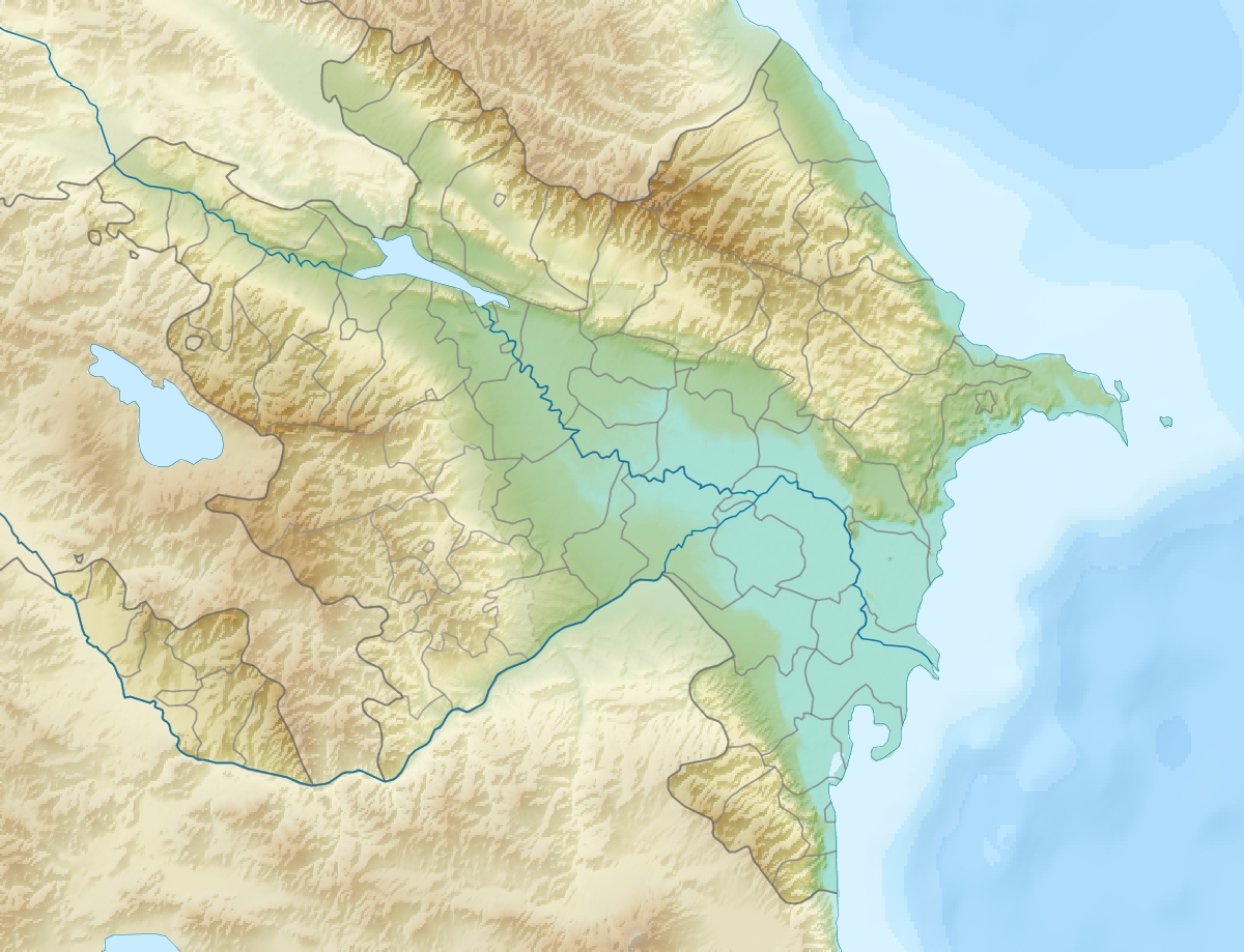 Lake Sev Lake Sev | |
| Location | Syunik Province, Armenia Lachin District, Azerbaijan |
| Coordinates | 39°35′53″N 46°13′54″E |
| Max. length | 1.6 km (0.99 mi) |
| Max. width | 1.2 km (0.75 mi) |
| Surface area | 2 km2 (0.77 sq mi) |
| Average depth | 7.5 m (25 ft) |
| Water volume | 9 hm3 (7,300 acre⋅ft) |
| Surface elevation | 2,666 m (8,747 ft) |
Topography
The lake is located to the east of Mets Ishkhanasar mountain at an altitude of 2,666 metres (8,747 feet) above sea level and has an area of about 2 square kilometres (0.77 square miles).[1] It is 1.6 kilometres (0.99 miles) long, 1.2 kilometres (0.75 miles) wide, and has a maximum depth of 7.5 metres (25 feet).[1] The water is cold and clear, and the lake is inhabited by Ishkhan salmonid fish.[1] The lake water is used for irrigation.[1] It is immediately adjacent to a smaller lake called Janlich or Jinli.
Nature reserve
Lake Sev and the area immediately around it are a protected nature conservation area called the Lake Sev Nature Reserve, in the Syunik Province on the eastern slope of Mets Ishkhanasar. It was re-created in 2001 on the grounds of the protected area with the same name, created in 1987. It has a surface of 240 hectares. Furthermore, it aims to preserve the ecosystem of Lake Sev.[2]
2021 Armenia–Azerbaijan border crisis
Lake Sev and the surrounding area are currently the subject of a border crisis between Azerbaijan and Armenia. On 12 May 2021, Azerbaijani troops advanced some 3.5 kilometres into Armenian territory near the lake and took control of the nearby height of Mets Ishkhanasar. Although the international border between Armenia and Azerbaijan has never been formally delineated, Soviet-era maps all appear to show that most of Sev Lake is in Armenian territory, which would mean an attempt to surround it would be an infiltration.[3] Specifically, the 1975 map of the General Staff of the USSR Armed Forces numbered J-38-21 scaled 1:100 000 shows Lake Sev with its eastern, western and southern shores located in the territory of the Armenian SSR and only a section of the northern shore of the lake covering nearly 10% of the lake located in the Azerbaijani SSR.[4] The map also shows the adjacent smaller Lake Janlich (Jinli) as entirely in Armenian territory.[4][5]
References
- Hakobyan, Tadevos Kh.; Melik-Bakhshyan, Stepan T.; Barseghyan, Hovhannes Kh. (1998). Հայաստանի և հարակից շրջանների տեղանունների բառարան [Dictionary of toponymy of Armenia and adjacent territories] (in Armenian). Vol. 4. Yerevan: Yerevan State University Publishing House. p. 584.
ՍԵՎ ԼԻՃ, Сев лич*, Sev lič, Կարագյոլ, Ղարագյոլ
- Հայաստանի Հանրապետության Ֆիզիկաաշխարհագրական օբյեկտների համառոտ տեղեկատու-բառարան, Երևան, «Գեոդեզիայի և քարտեզագրության կենտրոն ՊՈԱԿ», 2007, էջ 107 — 150 էջ։
- Kucera, Joshua (14 May 2021). "Armenia and Azerbaijan in new border crisis". eurasianet.org. Retrieved 15 May 2021.
{{cite web}}: CS1 maint: url-status (link) - "Soviet military map proves eastern, western and southern shores of Sev Lake unequivocally belong to Armenia". Armenpress. 2021-05-18. Retrieved 2021-05-24.
Sev Lake with its eastern, western and southern shores is located in the territory of the Armenian SSR -
- "General Staff of the USSR Armed Forces map of Goris J-38-21". Vokrug Sveta Encyclopedia. Vol. J-38-21 Goris. 1975. p. 10-38-021. Retrieved 2021-05-24.
На других языках
- [en] Lake Sev
[es] Lago Sev
El lago Sev (en armenio, Սև լիճ, romanizado: Sev lich; en azerí, Qaragöl; lit. en ambos 'lago negro')[1] es un pequeño lago de montaña situado en la frontera entre Armenia y Azerbaiyán. Administrativamente, pertenece a la provincia armenia de Syunik' y al raión azerí de Lachín, estando la mayor parte en Armenia.[fr] Lac Sev
Le lac Sev (en arménien Սև լիճ, « lac noir ») est un lac situé dans le marz de Syunik en Arménie. Il est intégré dans une réserve naturelle de 240 ha créée le 17 octobre 1987[2]. Il s'est formé dans le cratère d'un volcan éteint (Mets Ishkhanasar). Sa surface est gelée d'octobre au début de l'été[3].[it] Lago Sev
Il lago Sev (in armeno Սև լիճ: "lago nero") è un piccolo lago vulcanico nella provincia di Syunik in Armenia. Nei mesi invernali il lago è coperto da uno spesso strato di ghiaccio.[ru] Севлич
Севлич[1] (арм. Սեւ լիճ), Ишиглы-Карагёль (азерб. İşıqlı Qaragöl) — «чёрное озеро»; устар. Карагелъ[2] — озеро на границе Армении и Азербайджана. Расположено на территориях Сюникской области и Лачинского района соответственно. Высота над уровнем моря — 2650 метров. Площадь зеркала — 1,92 км², объём — 11 600 тыс. м³, диаметр озера — 1,5 км, длина береговой линии — 5 км, максимальная глубина — 7,8 м.[3]Другой контент может иметь иную лицензию. Перед использованием материалов сайта WikiSort.org внимательно изучите правила лицензирования конкретных элементов наполнения сайта.
WikiSort.org - проект по пересортировке и дополнению контента Википедии