geo.wikisort.org - Reservoir
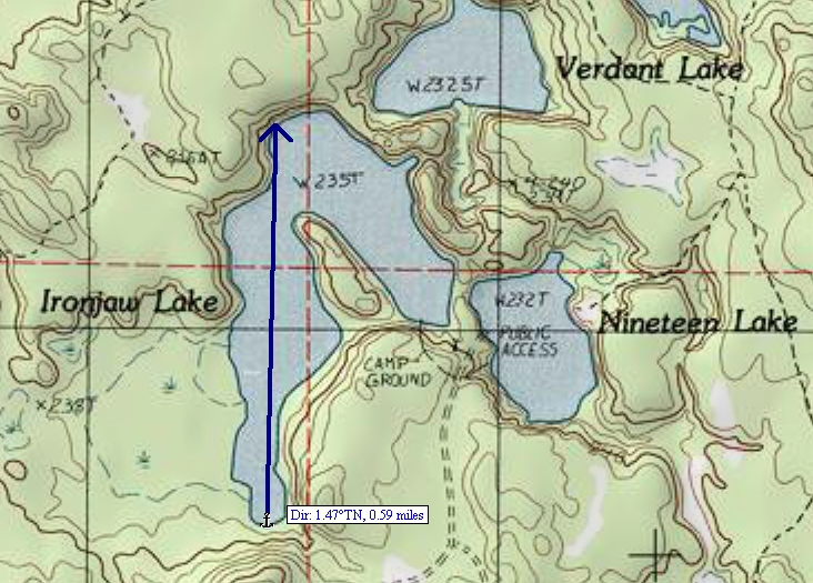
Lake Nineteen also known as Nineteen Lake, is a 26-acre (11 ha) lake that is located in south-western Schoolcraft County, Michigan in the Hiawatha National Forest.[2] It is east of the county line with Alger and north of the county line with Delta County. Nearby lakes include Hugaboom Lake, Mowe Lake, Blue Lake, Corner-Straits Chain of lakes, Ironjaw Lake, Verdant Lake, and Round Lake.
| Lake Nineteen | |
|---|---|
| Nineteen Lake | |
 Lake Nineteen | |
| Location | Schoolcraft County, Michigan |
| Coordinates | 46°10′18″N 86°32′50″W |
| Basin countries | United States |
| Surface area | 26 acres (11 ha) |
| Surface elevation | 761 ft (232 m)[1] |
See also
- List of lakes in Michigan
References
- U.S. Geological Survey Geographic Names Information System: Lake Nineteen
- "Ironjaw Lake/Lake Nineteen". U.S.D.A. Forest Service. Retrieved 2008-12-06.
Текст в блоке "Читать" взят с сайта "Википедия" и доступен по лицензии Creative Commons Attribution-ShareAlike; в отдельных случаях могут действовать дополнительные условия.
Другой контент может иметь иную лицензию. Перед использованием материалов сайта WikiSort.org внимательно изучите правила лицензирования конкретных элементов наполнения сайта.
Другой контент может иметь иную лицензию. Перед использованием материалов сайта WikiSort.org внимательно изучите правила лицензирования конкретных элементов наполнения сайта.
2019-2026
WikiSort.org - проект по пересортировке и дополнению контента Википедии
WikiSort.org - проект по пересортировке и дополнению контента Википедии