geo.wikisort.org - Reservoir
Lake Nicolet (in French: lac Nicolet) is located 50 km south of Victoriaville, in the municipality of Saints-Martyrs-Canadiens, in Arthabaska Regional County Municipality (MRC), in administrative region of Centre-du-Québec, Canada.
| Lake Nicolet | |
|---|---|
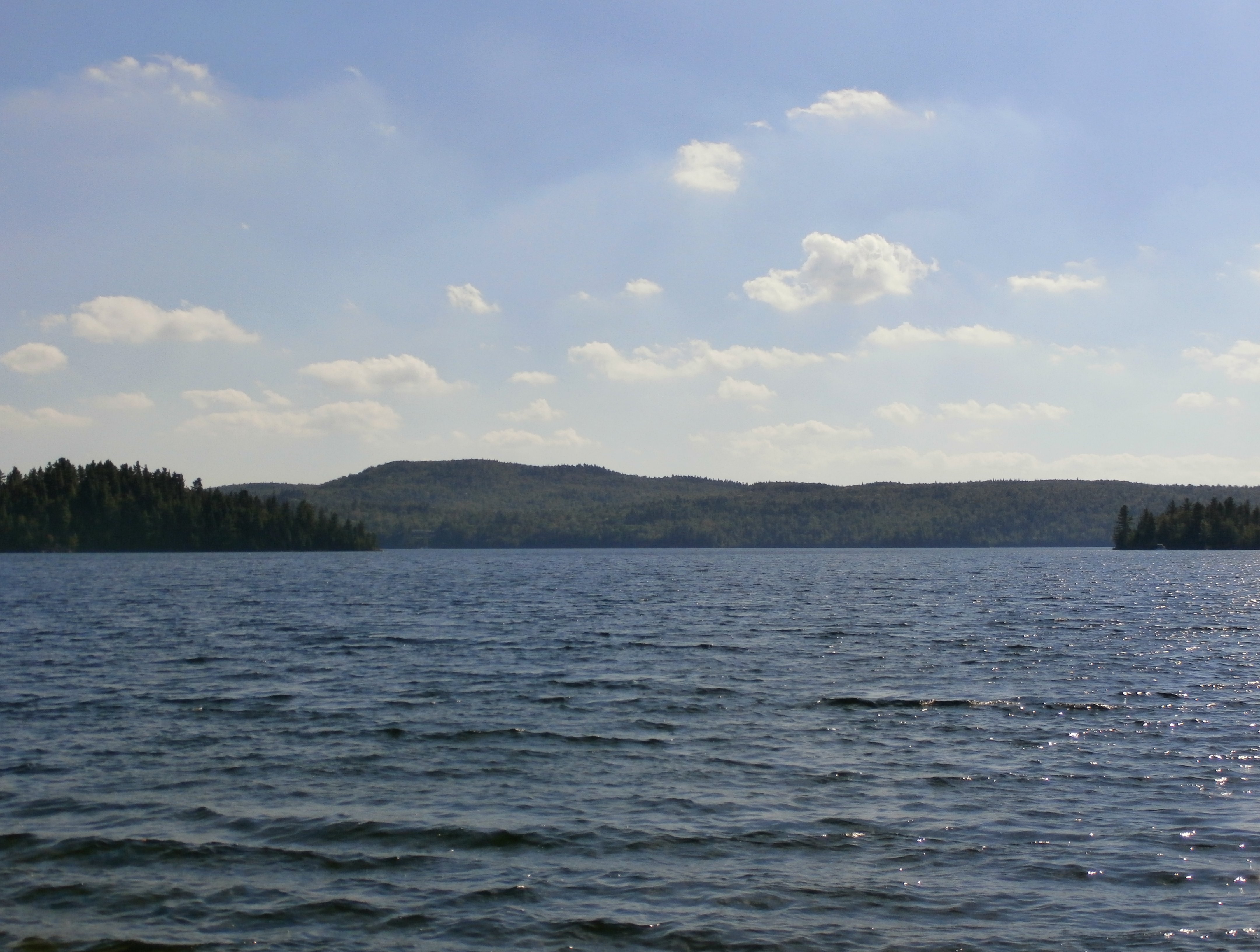
 Lake Nicolet seen from Gosford street, near Saints-Martyrs-Canadiens | |
 Lake Nicolet | |
| Location | Canada, Quebec, Centre-du-Québec, Arthabaska Regional County Municipality |
| Coordinates | 45.83°N 71.56028°W |
| Native name | Lac Nicolet (French) |
| Primary outflows | Nicolet River |
| Catchment area | 9.4 kilometres (5.84 mi) |
| Max. length | 5.1 kilometres (3.2 mi) |
| Max. width | 1.7 kilometres (1.1 mi) |
| Surface area | 4.1 kilometres (2.55 mi) |
| Average depth | 17 metres (56 ft) |
| Max. depth | 41 metres (135 ft) |
| Surface elevation | 350 metres (1,150 ft) |
| Frozen | Mid December to end of April |
| Islands | Boulanger, Linke, L'Heureux, Baril, Michel-Rheault, Rolland. |
Lake Nicolet is the source of the Nicolet River which flows 137 kilometres (85 mi) to the southeast shore of lake Saint-Pierre, in Nicolet. The latest is crossed through the North-East by the St. Lawrence River.
This lake is surrounded by Chemin du Lac-Nicolet (north-west side) and Chemin Gosford-Sud (south-east side).
Geography
Lake Nicolet is 5.1 kilometres (3.2 mi) long and 1.7 kilometres (1.1 mi), resembling a misshapen crescent surrounded by mountains. It has seven islands: Boulanger, Baril, Linke, L'Heureux, à Michel-Rheault, Rolland and a little unnamed island. The main mountain peaks around the lake are: Brûlé Mountain (500 metres (1,600 ft)) at 1.5 kilometres (0.93 mi) on the south side of the bay leading to the mouth of the lake; a 419 metres (1,375 ft) vertex on the west side and another on the southeast side (492 metres (1,614 ft)). This lake has a hundred chalets all around.[1]
Toponymy
The toponym "Lac Nicolet" was made official on December 5, 1968, at the Commission de toponymie du Québec. [2]
See also
- Nicolet River
- Centre-du-Québec, administrative region
References
- "Atlas of Canada from the Department of Natural Resources Canada". Retrieved December 31, 2020.
Features extracted from the map geographic, database and site instrumentation
- Commission de toponymie du Québec - Place name bank - Toponym: "Lac Nicolet"
На других языках
- [en] Lake Nicolet
[fr] Lac Nicolet
Le lac Nicolet est situé à 50 km au sud de Victoriaville, dans la municipalité de Saints-Martyrs-Canadiens, dans la municipalité régionale de comté (MRC) d'Arthabaska, dans la région administrative du Centre-du-Québec, au Québec, Canada.Другой контент может иметь иную лицензию. Перед использованием материалов сайта WikiSort.org внимательно изучите правила лицензирования конкретных элементов наполнения сайта.
WikiSort.org - проект по пересортировке и дополнению контента Википедии