geo.wikisort.org - Reservoir
Krasnoyarsk Reservoir, known also as the Krasnoyarsk Sea, is an artificial lake which was created by the construction of the Krasnoyarsk Dam. It is one of the largest artificial reservoirs in the world. In Russia, it now ranks second (after the Bratsk Reservoir).
This article does not cite any sources. (April 2019) |
| Krasnoyarsk Reservoir | |
|---|---|
 Pier in Novosyolovo in the lake | |
 Krasnoyarsk Reservoir 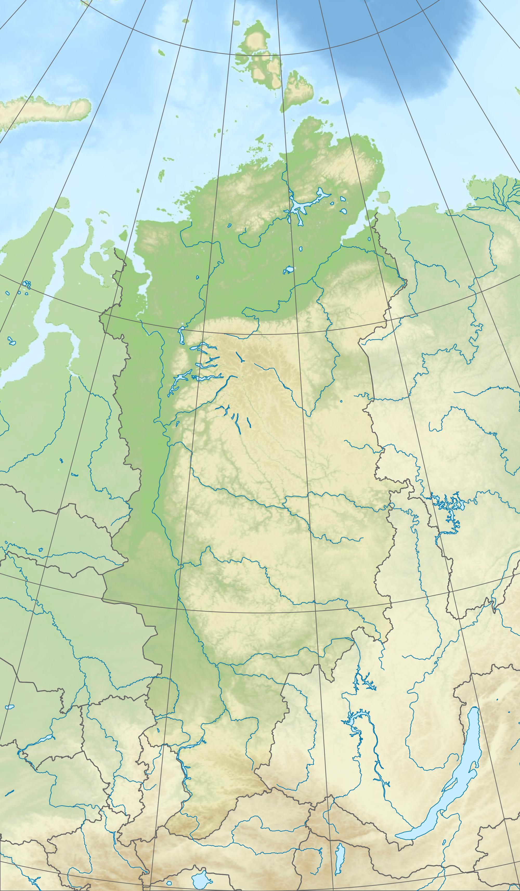 Krasnoyarsk Reservoir | |
| Location | Krasnoyarsk Krai |
| Coordinates | 54°55′N 91°40′E |
| Type | Hydroelectric reservoir |
| Primary inflows | Yenisei, Tuba, Sisim, Biryusa |
| Basin countries | Russia |
| Surface area | 2,000 km2 (770 sq mi) |
| Average depth | 37 m (121 ft) |
| Max. depth | 105 m (344 ft) |
| Surface elevation | 243 m (797 ft) |
| Settlements | Abakan |
The top point of the reservoir is located near the town of Abakan, at the confluence of the Yenisei river Abakan. Lower spot - Krasnoyarsk hydroelectric power station dam. The distance from the top point to the Krasnoyarsk hydroelectric power station on the line - about 250 kilometers, but the total length of the reservoir is much more - 388 kilometers. Width at widest points is 15 kilometers. Height of the water's edge - 243 meters above sea level.
In the reservoir flow some pretty major rivers, including the right bank - Tuba, Sisim, Syda, on the left - Biryusa. At the confluence of the rivers flow directly into the previously Yenisei, creating reservoirs formed bays. The most significant of them - Tubin, Syda, Karasug, Sisim, Durbin, Biryusinsk.
The largest settlements located on the shore of the reservoir are regional centers Abakan, Krasnoturansk (located on the Bay Syda) and Novoselovo. Bridges over the reservoir absent nearest bridge across the Yenisei located a few kilometers above and below the reservoir. However, through the reservoir ferry connections, particularly from the villages and Novoselovo Bellyk. Until the early 1990s, there was a passenger-carrying hydrofoil in the reservoir.
When creating the reservoir, the location of one of the first Russian settlements in Siberia was flooded. It had been populated by Khakassky tribes - Abakan fort (near modern Krasnoturansk).
See also
| Wikimedia Commons has media related to Krasnoyarsk Reservoir. |
- Ship lift of Krasnoyarsk hydroelectric power station
| Authority control |
|
|---|
На других языках
[de] Krasnojarsker Stausee
Der Krasnojarsker Stausee (russisch Красноярское водохранилище / Krasnojarskoje wodochranilischtsche) ist ein 2130 km² großer Stausee am Jenissei in der Region Krasnojarsk und der Republik Chakassien in Sibirien. Der Stausee dient seit 1967 zur elektrischen Energieerzeugung für die industrielle Erschließung der Region und daneben zum Hochwasserschutz.- [en] Krasnoyarsk Reservoir
[it] Bacino di Krasnojarsk
Il bacino di Krasnojarsk (in russo: Красноярское водохранилище?, traslitterato: Krasnojarskoe vodochranilišče) è un lago artificiale della Russia, situato nella Siberia meridionale. Si trova nel Territorio di Krasnojarsk e nella Chakassia.[ru] Красноярское водохранилище
Красноярское водохранилище — водохранилище на Енисее, образованное при строительстве Красноярской ГЭС. Один из крупнейших по объёму искусственных водоёмов в мире, в России занимает по этому показателю второе место (после Братского водохранилища). Предгорный водоём долинного типа. Объём водной массы — 73,3 км³. Площадь поверхности — 2000 км²[2].Другой контент может иметь иную лицензию. Перед использованием материалов сайта WikiSort.org внимательно изучите правила лицензирования конкретных элементов наполнения сайта.
WikiSort.org - проект по пересортировке и дополнению контента Википедии