geo.wikisort.org - Reservoir
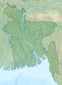
Kaptai Lake is the largest lake in Bangladesh.[1] It is located in the Kaptai Upazila under Rangamati District of Chittagong Division. The lake was created as a result of building the Kaptai Dam on the Karnaphuli River, as part of the Karnaphuli Hydro-electric project. Kaptai Lake's average depth is 100 feet (30 m) and maximum depth is 490 feet (150 m).
| Kaptai Lake | |
|---|---|
 | |
 Kaptai Lake | |
| Location | South-Eastern Bangladesh |
| Coordinates | 22°29′45″N 92°13′45″E |
| Type | reservoir |
| Primary inflows | Karnaphuli River |
| Primary outflows | Karnaphuli River |
| Catchment area | 11,122 km2 (4,294 sq mi) [original research?] |
| Basin countries | Bangladesh |
| Average depth | 100 ft (30 m) |
| Max. depth | 495 ft (151 m) |
History
Construction of the reservoir for the hydro-electric plant began in 1956 by the Government of East Pakistan.[2] As a result, 54,000 acres (220 km2) of farmland in the Rangamati District went underwater and created the lake. The hydro-electric project was funded by the United States. The project was finished in 1962. International Engineering Company and Utah International Inc. received the contract for construction of the dam. The dam is 670.8 meters long, and 54.7 meters high. The dam has a 745 feet (227 m) long spillway containing 16 gates. Through the spillway 5,250,000 cu ft/s (149,000 m3/s) of water can pass.
The land that went underwater as a result of the dam construction, was 40% of the total arable land in the area. Along with that, 29 square miles (75 km2) of the Government-owned forest, and 234 square miles (610 km2) of other forest land went underwater. About 18,000 hagu families with a total of almost 100 thousand people were also displaced. The palace of the king of the Chakmas was also flooded and is now underwater.[2]
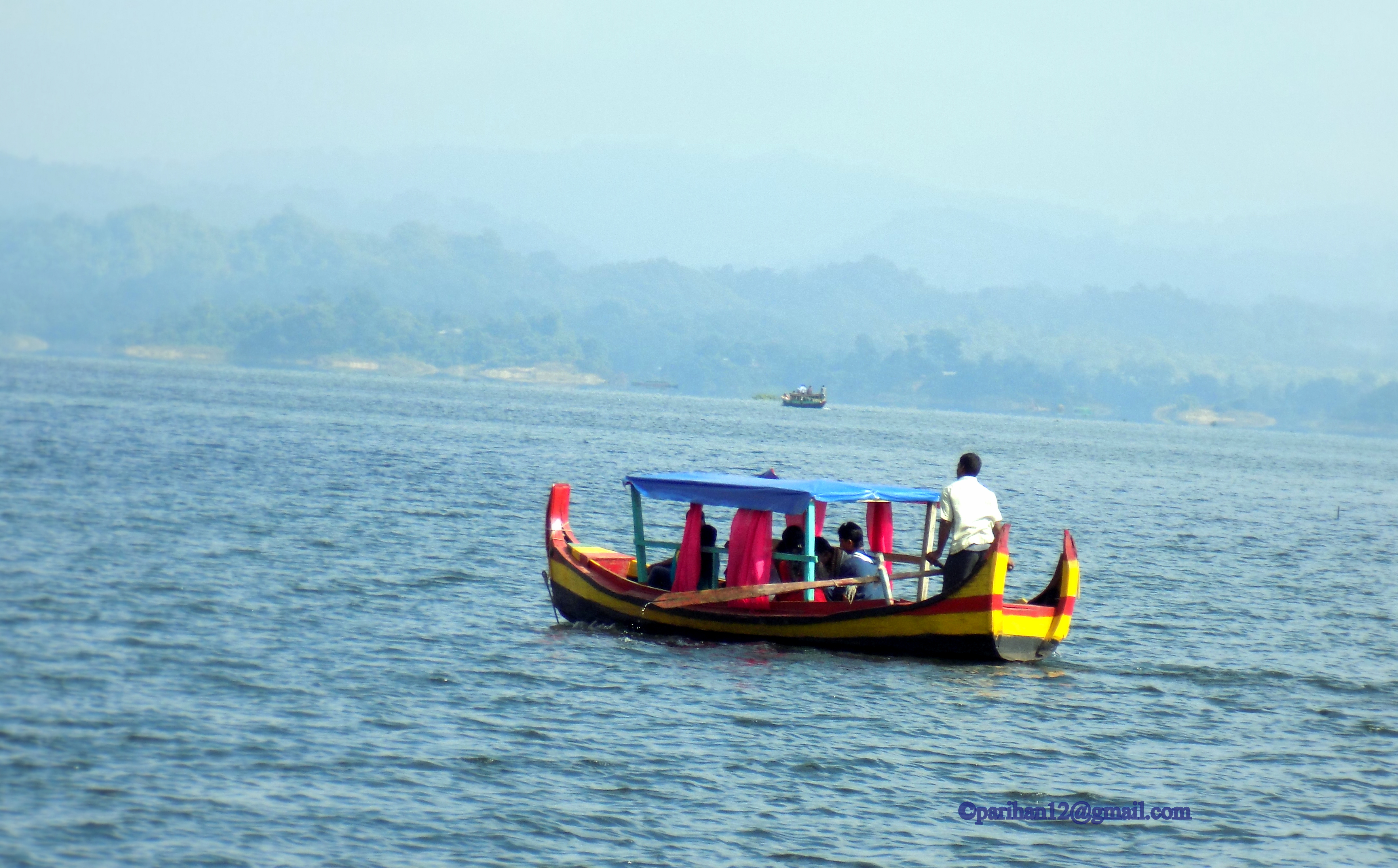
Gallery
 Hanging Bridge
 the lake
 Boat on the lake
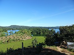 View of Kaptai lake, Rangamati
 Wooden boats
 Sunset on the lake


See also
- Mahamaya irrigation project
- Kaptai National Park
References
- "Kaptai Lake - Banglapedia". en.banglapedia.org. Retrieved 2016-04-16.
- Daily JaiJaiDin, January 10, 2008. Page 10.
External links
- Kaptai Lake at Banglapedia
- Kaptai Lake Rangamati at Travel Mate
This Chittagong Division location article is a stub. You can help Wikipedia by expanding it. |
На других языках
[de] Karnaphuli-Stausee
Der Karnaphuli-Stausee (auch Karnaphuli- bzw. Kaptai-Talsperre, bengalisch .mw-parser-output .Beng{font-size:110%}কাপ্তাই হ্রদ) ist die größte Talsperre mit dem einzigen Wasserkraftwerk in Bangladesch. Fertigstellung war im Jahr 1962, damals noch in Ost-Pakistan. Durch den Bau des Staudammes wurde der Fluss Karnaphuli zu einem großen Stausee aufgestaut. Er liegt im Südosten des Landes im Distrikt Rangamati bei dem Ort Kaptai, rund 65 km flussaufwärts von Chittagong.- [en] Kaptai Lake
[fr] Lac Kaptai
Le lac Kaptai est le plus grand lac artificiel du Bangladesh[1]. Il est situé dans le Kupazila de Kaptai, dans le district de Rangamati de la division de Chittagong. Le lac a été créé à la suite de la construction du barrage de Kaptai sur la rivière Karnaphuli, dans le cadre du projet hydroélectrique de Karnaphuli. La profondeur moyenne du lac Kaptai est de 30 m et la profondeur maximale est de 150 m.Другой контент может иметь иную лицензию. Перед использованием материалов сайта WikiSort.org внимательно изучите правила лицензирования конкретных элементов наполнения сайта.
WikiSort.org - проект по пересортировке и дополнению контента Википедии