geo.wikisort.org - Reservoir
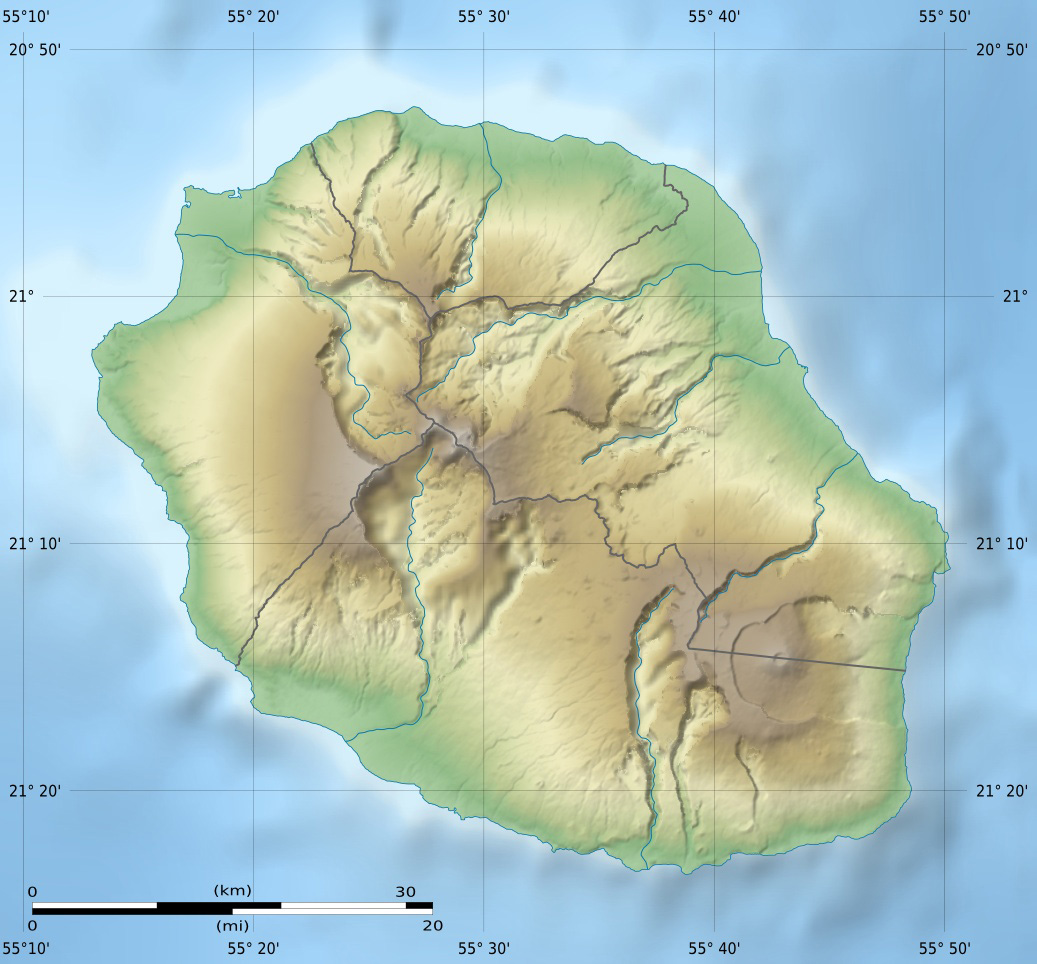
Grand Étang (large pond in English) is the largest lake on the island of Réunion, a French territory in the western Indian Ocean. It lies in the commune of Saint-Benoît, close to La Plaine-des-Palmistes, in the eastern part of the island. Its inflow is a short creek from the waterfall Cascade Biberon of the Bras d'Annette creek. It was created by a lava flow acting as a natural dam afterwards. It does not have an outflow.


| Grand Étang | |
|---|---|
 Grand Étang | |
 Grand Étang | |
| Location | Réunion |
| Coordinates | 21°5′46″S 55°38′25″E |
| Primary inflows | Bras d'Annette |
| Basin countries | France (Réunion) |
| Surface elevation | 525 m (1,722 ft) |
| Settlements | Saint-Benoît |
See also
- Rivière des Marsouins – Grand Étang Important Bird Area
References
External links
- Photo of Grand Étang
| Authority control |
|
|---|
This Réunion location article is a stub. You can help Wikipedia by expanding it. |
На других языках
- [en] Grand Étang
[fr] Grand Étang (La Réunion)
Le Grand Étang est le plus important plan d'eau intérieur de l'île de La Réunion, département d'outre-mer français dans le sud-ouest de l'océan Indien. Situé sur le territoire communal de Saint-Benoît, il est alimenté par de nombreuses chutes d'eau comme les cascades du Bras d'Annette, et son niveau est très variable.Текст в блоке "Читать" взят с сайта "Википедия" и доступен по лицензии Creative Commons Attribution-ShareAlike; в отдельных случаях могут действовать дополнительные условия.
Другой контент может иметь иную лицензию. Перед использованием материалов сайта WikiSort.org внимательно изучите правила лицензирования конкретных элементов наполнения сайта.
Другой контент может иметь иную лицензию. Перед использованием материалов сайта WikiSort.org внимательно изучите правила лицензирования конкретных элементов наполнения сайта.
2019-2026
WikiSort.org - проект по пересортировке и дополнению контента Википедии
WikiSort.org - проект по пересортировке и дополнению контента Википедии