geo.wikisort.org - Reservoir
Fish Lake is a reservoir located 4,639 feet (1,414 m) above sea level in Jackson County, Oregon, United States. It is 35 miles (56 km) northeast of Medford.[2] Originally a natural lake, it was enlarged by the 50-foot (15 m) tall Fish Lake Dam, which impounds the north fork of Little Butte Creek, in the Rogue River watershed.
| Fish Lake | |
|---|---|
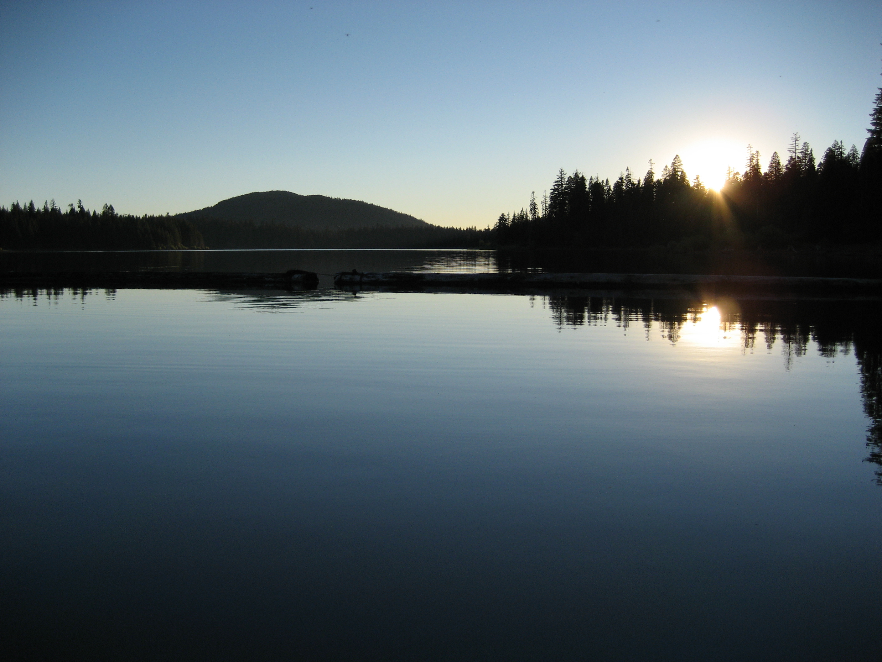 Sunset on Fish Lake | |
 Fish Lake  Fish Lake | |
| Location | Jackson County, Oregon |
| Coordinates | 42°22′39″N 122°20′51″W |
| Type | Reservoir |
| Primary inflows | Little Butte Creek watershed |
| Primary outflows | North Fork Little Butte Creek |
| Catchment area | 20 square miles (52 km2) |
| Basin countries | United States |
| Surface area | 483 acres (1,950,000 m2) |
| Average depth | 18 feet (5.5 m) |
| Max. depth | 31 feet (9.4 m) |
| Water volume | 7,836 acre-feet (9,666,000 m3) |
| Surface elevation | 4,639 feet (1,414 m)[1] |
Geology
Fish Lake is located between two volcanoes: Mount McLoughlin to the north and Brown Mountain to the south. Two-thousand-year-old andesite lava flows erupted from Brown Mountain surround Fish Lake's southern shore.[3][4]
History
Fish Lake was originally a small natural lake.[5][6] In 1898, the Fish Lake Water Company was established to help irrigate the Rogue Valley. The company proposed to enlarge Fish Lake and nearby Fourmile Lake for added water storage. The temporary Fish Lake Dam was constructed between 1902 and 1908. In 1906, Fourmile Lake Dam was constructed. The two lakes were connected in 1915 by the Cascade Canal, bringing water from Fourmile Lake in the Klamath River watershed over the Cascade Divide to Fish Lake, to supplement Little Butte Creek. The temporary dam was replaced by a permanent earthfill dam.[7] The dam was modified again in 1922.[8] In 1955, a new spillway was constructed. An auxiliary spillway was added in 1996.[3] The lake is now about three times its original size.[5]
Statistics

Fish Lake has an average surface area of 483 acres (1,950,000 m2),[6] an average volume of 7,836 acre-feet (9,666,000 m3),[9] and a 20-square-mile (52 km2) drainage basin.[10] It has an average depth of 18 feet (5.5 m), and a maximum depth of 31 feet (9.4 m).[6] Fish Lake Dam stands 50 feet (15 m) tall and 960 feet (290 m) long.[3]
Fauna
Rainbow trout and brook trout are common in the lake.[6] Osprey and eagles have been spotted in the area.[5]
Recreation

The Pacific Crest Trail passes by Fish Lake's eastern shore.[11] Three campgrounds are located around the lake.[12] Popular activities include fishing, swimming, and boating.[5]
See also
- List of lakes in Oregon
References
- "Fish Lake". Geographic Names Information System. United States Geological Survey. November 28, 1980. Retrieved November 28, 2009.
- "Rogue River Basin Project". United States Bureau of Reclamation. Archived from the original on June 14, 2011. Retrieved November 28, 2009.
- "Fish Lake Dam: Overview". United States Bureau of Reclamation. Archived from the original on June 14, 2011. Retrieved November 28, 2009.
- Lee, Mary (August 21, 2008). "Day-hiking the PCT". Mail Tribune. Retrieved November 28, 2009.
- Ostertag, George (2005). Camping Oregon (2nd ed.). Globe Pequot. p. 238. ISBN 978-0-7627-3643-0.
- Shewey, John (2007). Complete Angler's Guide to Oregon. Wilderness Adventures Press. pp. 76–77. ISBN 978-1-932098-31-0.
- "The Rogue River Basin Project Talent Division" (PDF). United States Bureau of Land Management. Archived from the original (PDF) on June 14, 2011. Retrieved November 28, 2009.
- "Fish Lake Dam: General". United States Bureau of Reclamation. Archived from the original on June 14, 2011. Retrieved November 28, 2009.
- "Fish Lake Dam: Hydraulics & Hydrology". United States Bureau of Reclamation. Archived from the original on June 14, 2011. Retrieved November 28, 2009.
- "Rogue River Basin Project Water Data". United States Bureau of Reclamation. Archived from the original on August 13, 2007. Retrieved November 28, 2009.
- Semb, Patricia (2000). Day Hikes on the Pacific Crest Trail: Oregon-Washington. Wilderness Press. p. 36. ISBN 978-0-89997-276-3.
- Stienstra, Tom (2006). Moon Oregon Camping: The Complete Guide to Tent and RV Camping (2nd ed.). Avalon Travel Publishing. p. 372. ISBN 978-1-56691-604-2.
На других языках
[de] Fish Lake (Jackson County, Oregon)
Der Fish Lake ist ein Stausee im Jackson County, Oregon, Vereinigte Staaten. Er liegt auf einer Höhe von 1414 m[1] rund 55 km nordöstlich von Medford.[2] Der ehemals natürliche See wurde durch den Bau eines 15 m hohen Staudamms vergrößert. Der Fish Lake Dam staut den nördlichen Ast des Little Butte Creek.- [en] Fish Lake (Jackson County, Oregon)
Другой контент может иметь иную лицензию. Перед использованием материалов сайта WikiSort.org внимательно изучите правила лицензирования конкретных элементов наполнения сайта.
WikiSort.org - проект по пересортировке и дополнению контента Википедии